On a sunny autumn afternoon, the "Hundereise Gang" heads out to the Bucklige Welt. South of Wiener Neustadt, we set out to explore the area. The "Spielplatzrunde" starting at the Pfarre Maria Schnee is to be our dog-friendly hike for the day.
The original plan
Murphy and I had actually planned to join this route on a social hike with my trainer Sandra. Unfortunately I came down with a bad cold around that time, so it didn't work out.
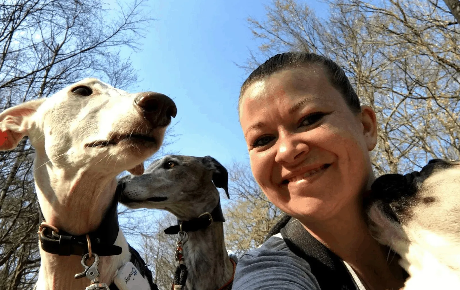
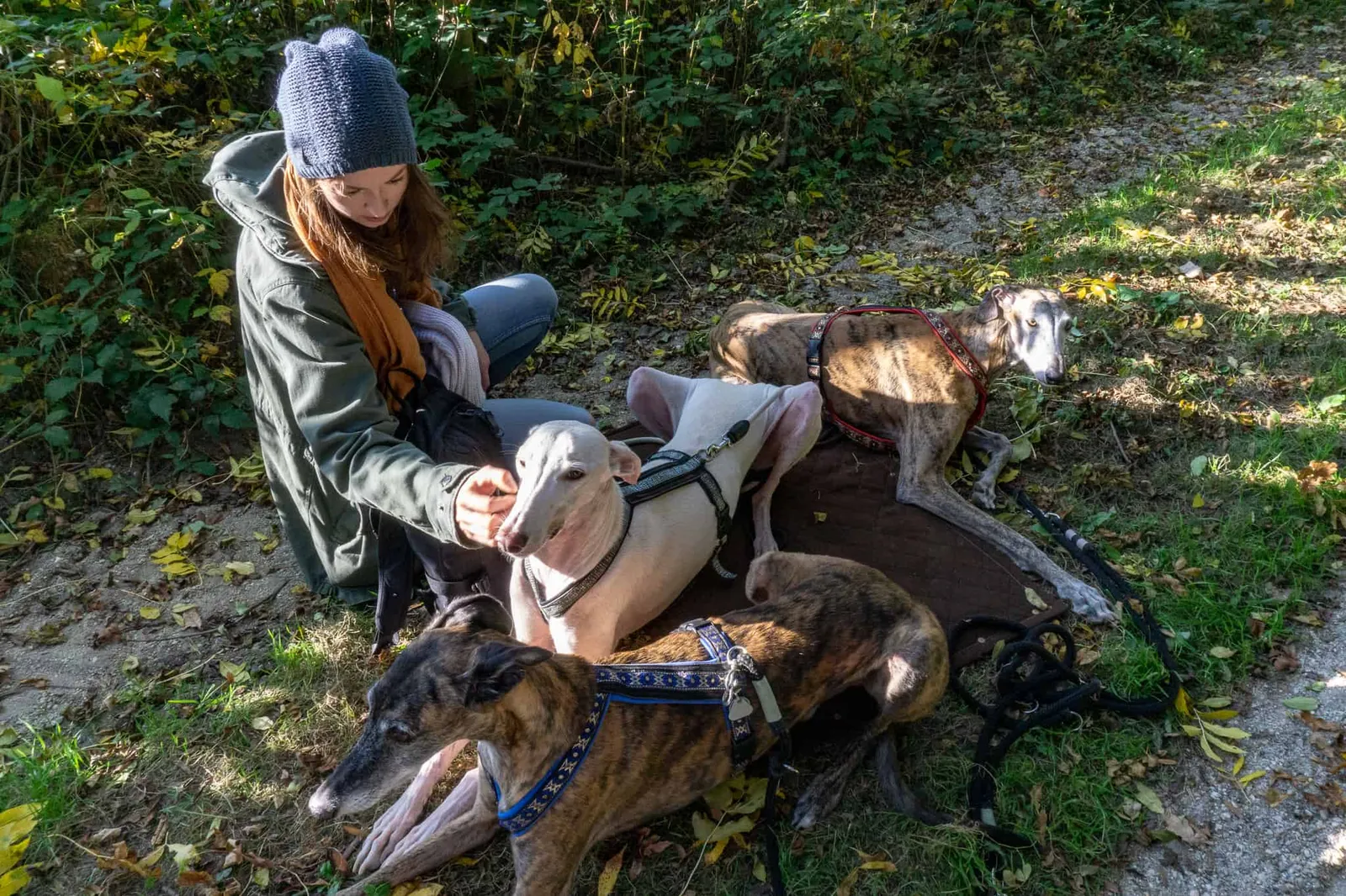
As luck would have it, Martina asked me a little while later whether I'd be free on Saturday to look after the Galgo boys, as she'd be attending a theory course on law and hygiene for therapy dog training. So I asked Nina whether she'd like to come along. (You already know her from the Wachau and Croatia trips.)
And luckily she said yes!
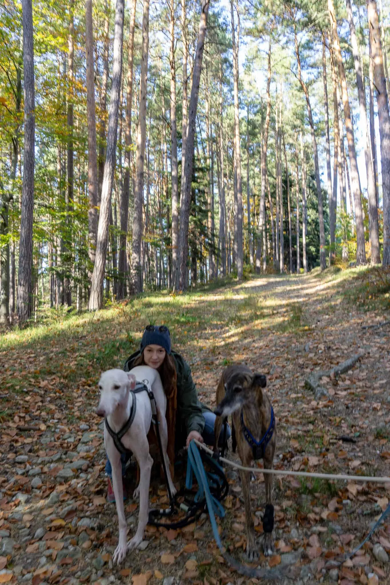
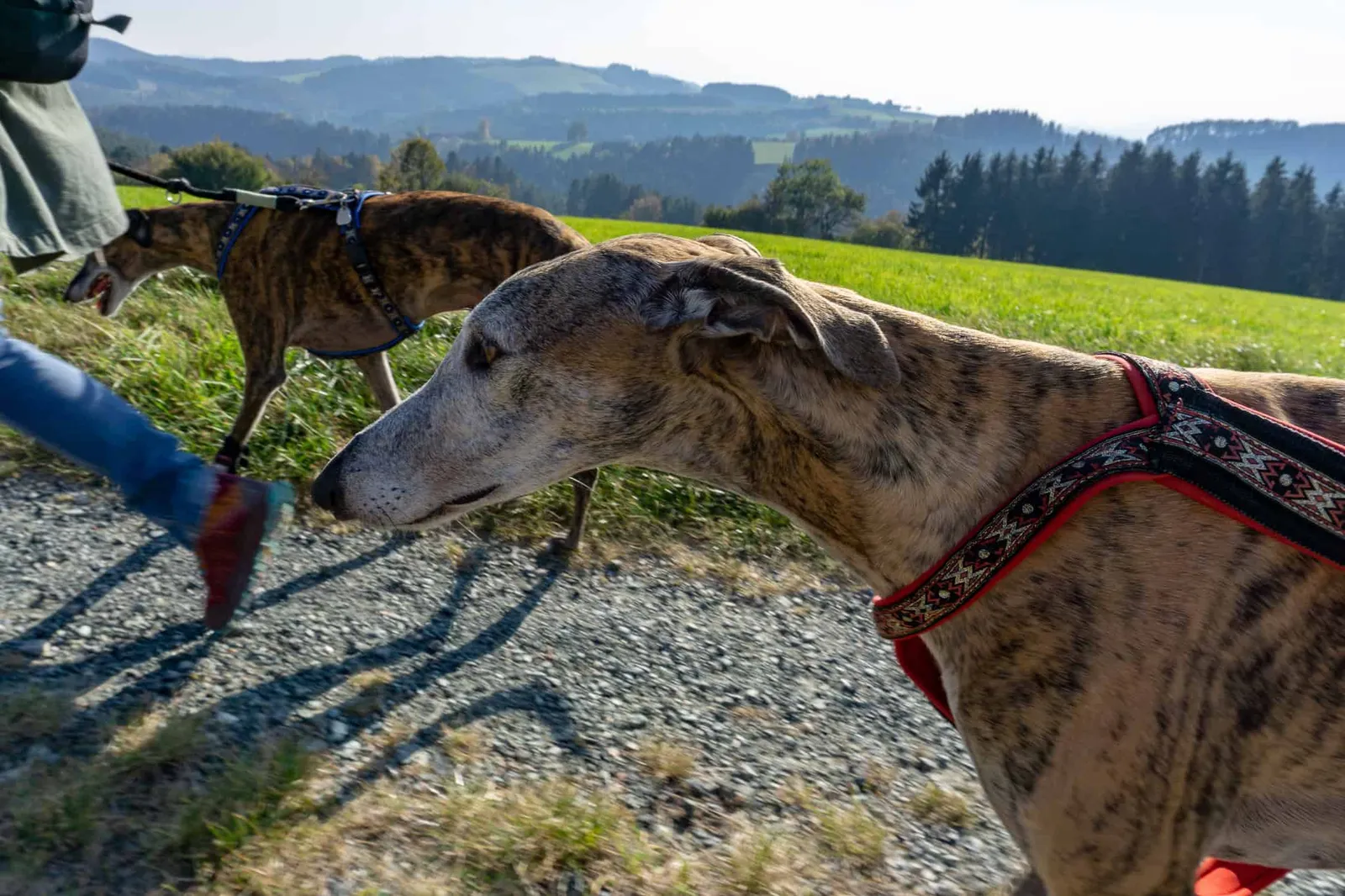
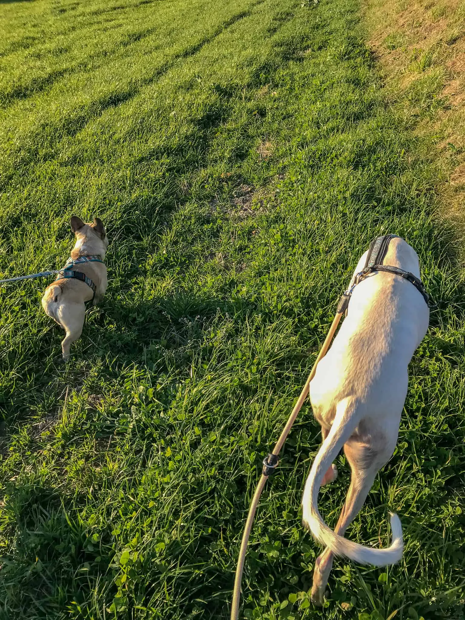
4 dog leads and one camera — much easier to manage between 2 people :)
Exploring the Bucklige Welt.
Late that morning I pack Murphy and all his gear into the car and drive to the therapy centre. There I swap cars with Martina, first pick up Atlas, Tiago & Neroli, and then collect Nina. Via the Südautobahn and country roads we reach our destination, situated south of Wiener Neustadt:
Kaltenberg and the Pfarre Maria Schnee
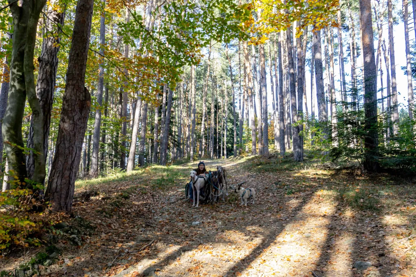
In the village we turn right at the Gasthof Neumüller and shortly afterwards find a public car park on our left. Our four-legged companions are put on their leads, backpacks are strapped on, and off we go.
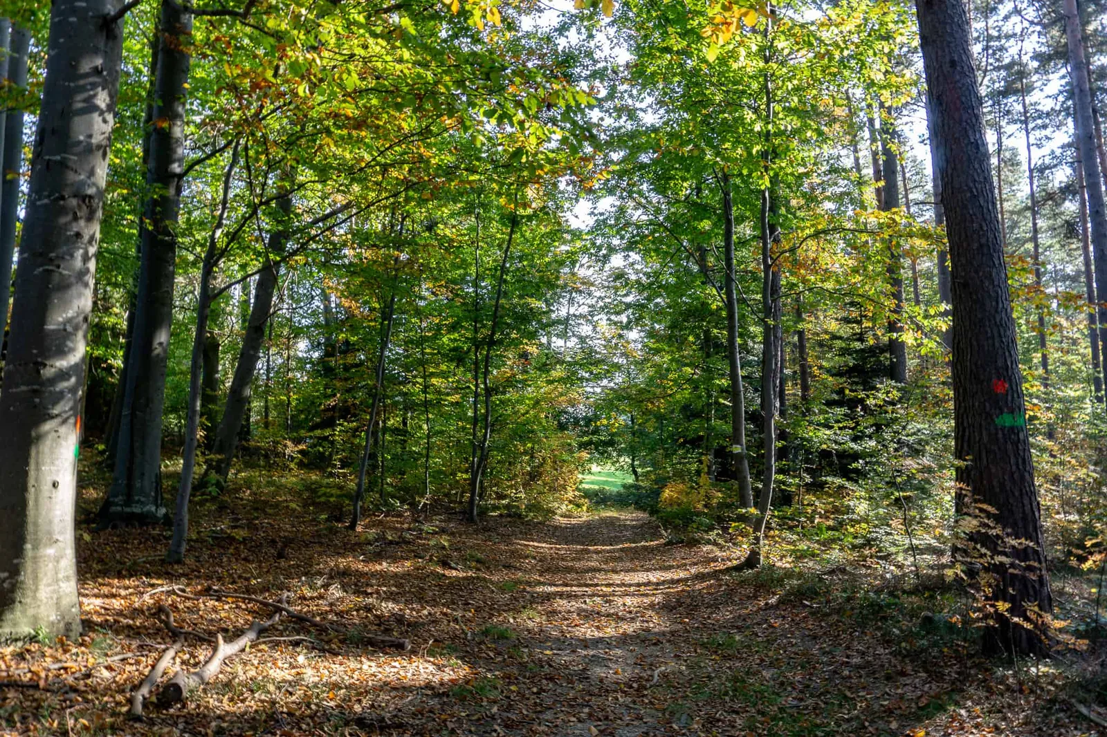
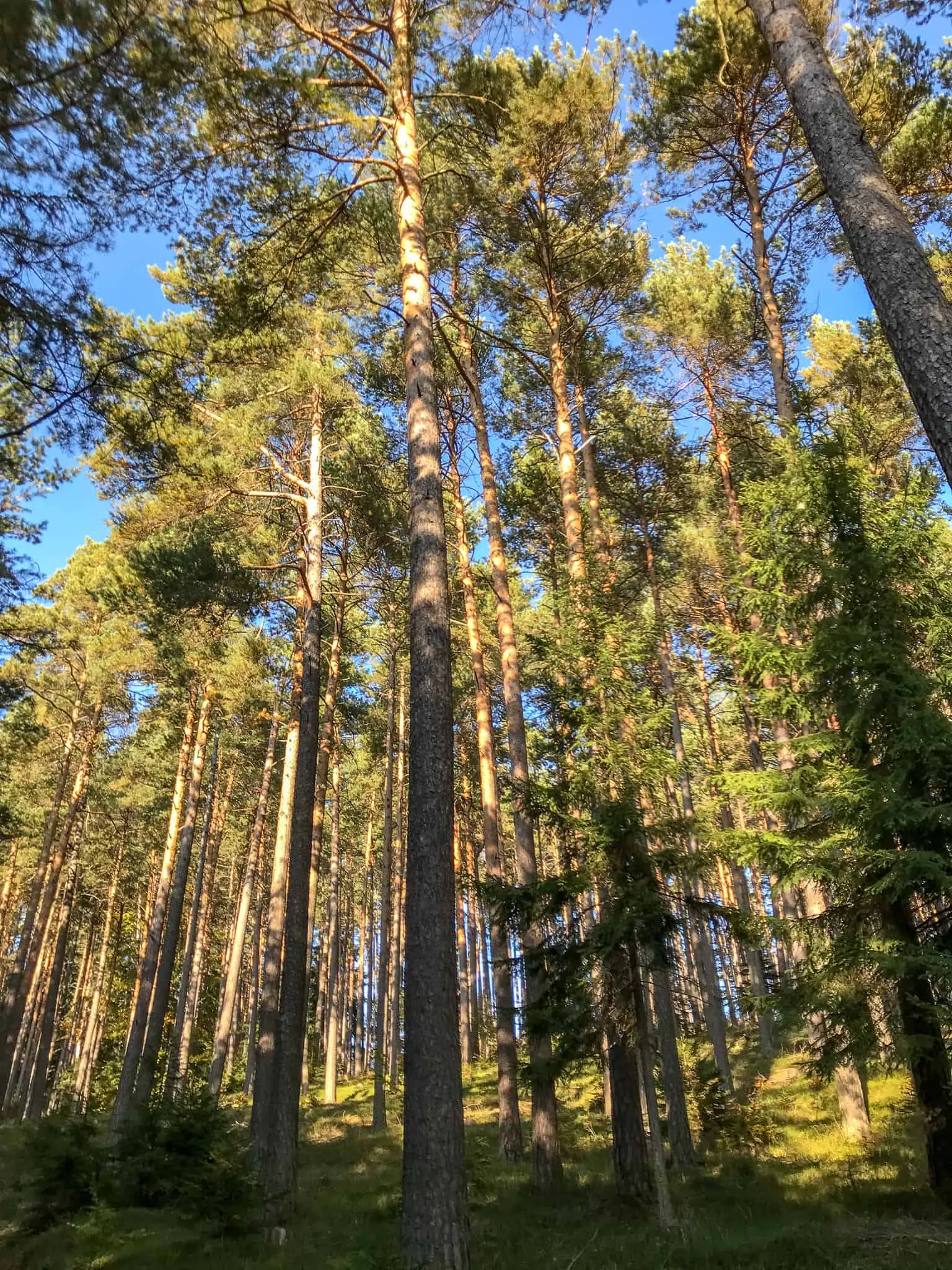
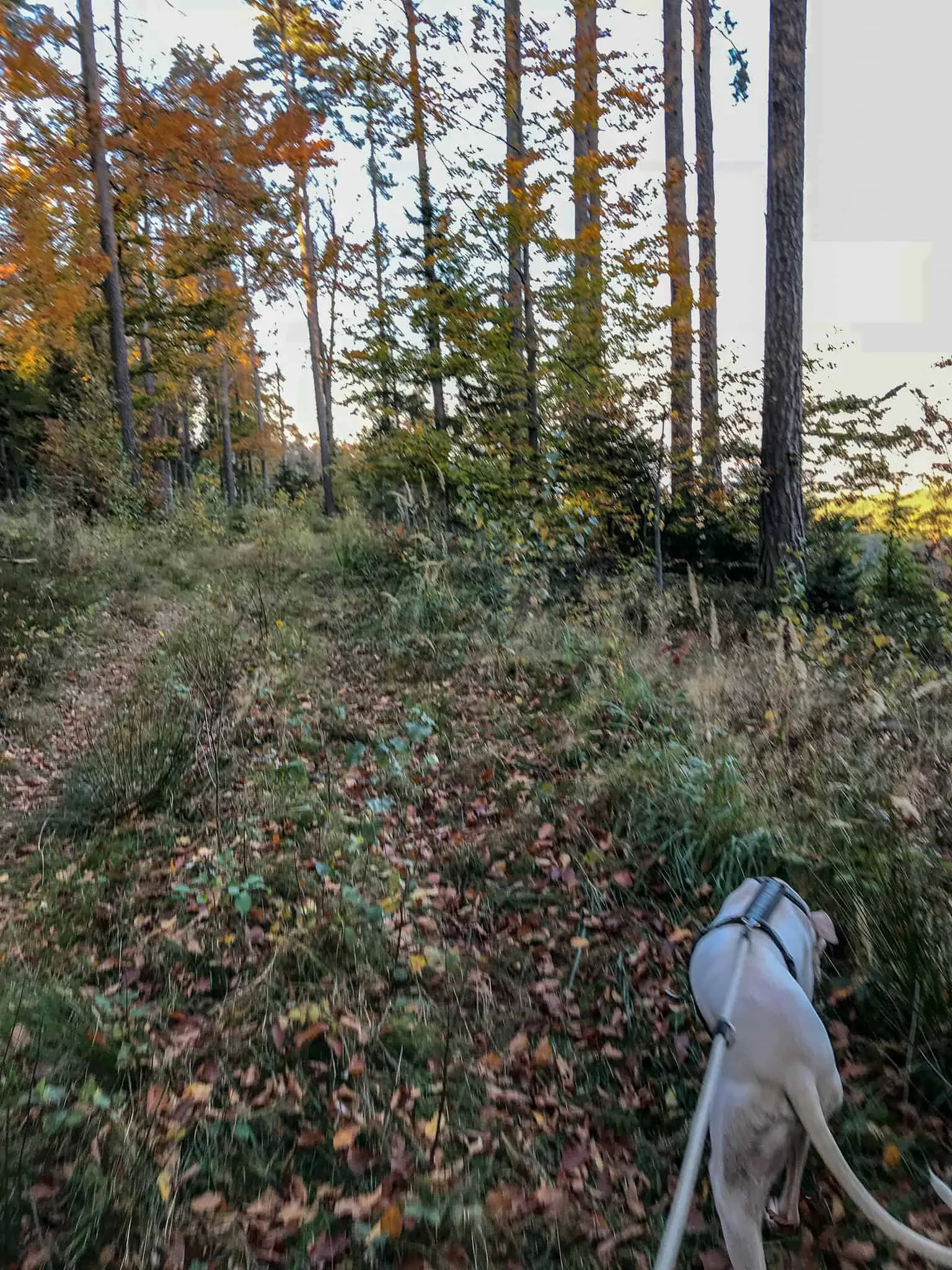
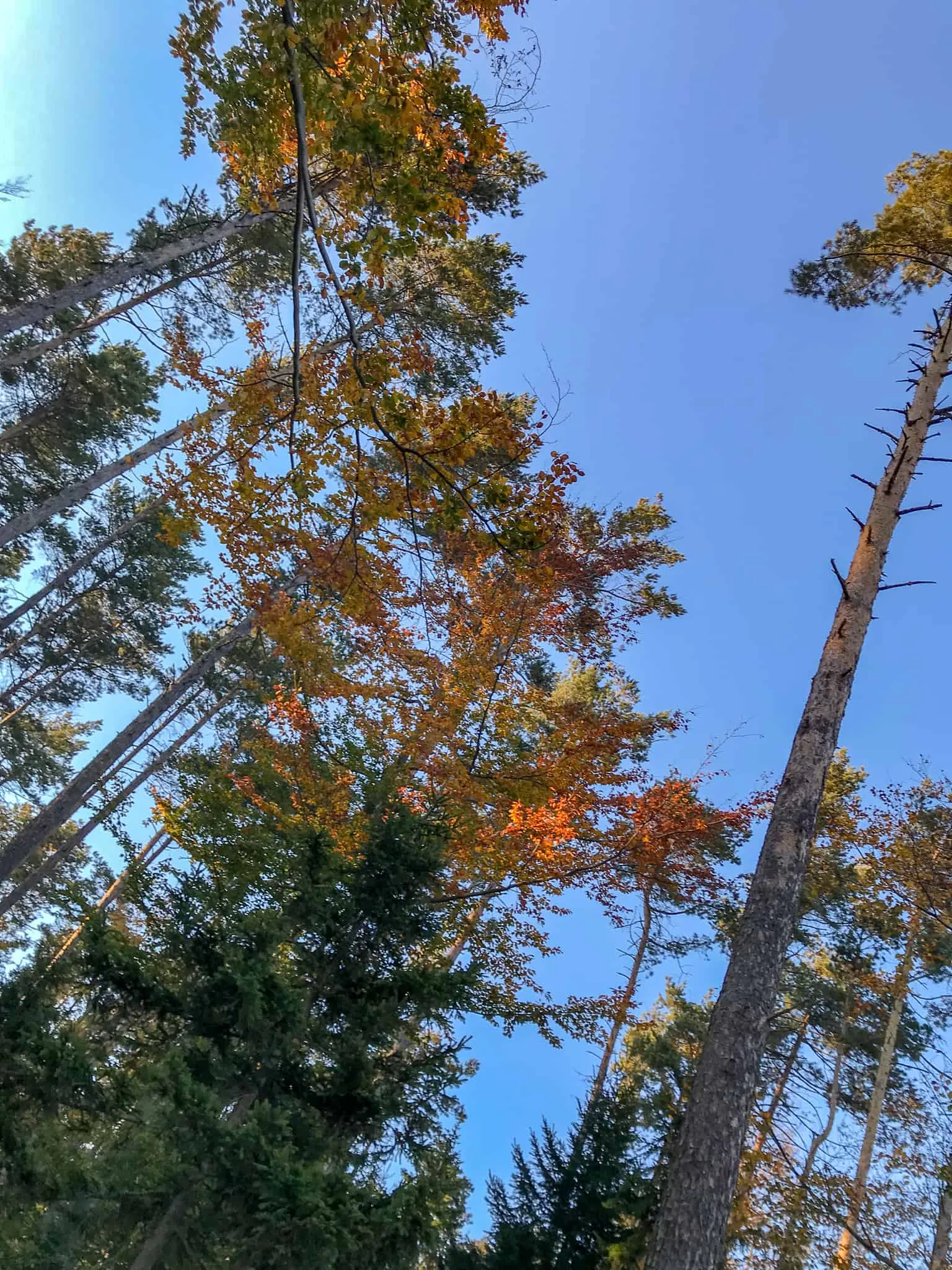
We continue along the road and pass right by the well-known pilgrimage church "Maria Schnee" (a listed monument). There we take a meadow path to the left, heading downhill until we enter the autumnal forest.
The Spielplatzrunde, or the "feel-good" trail
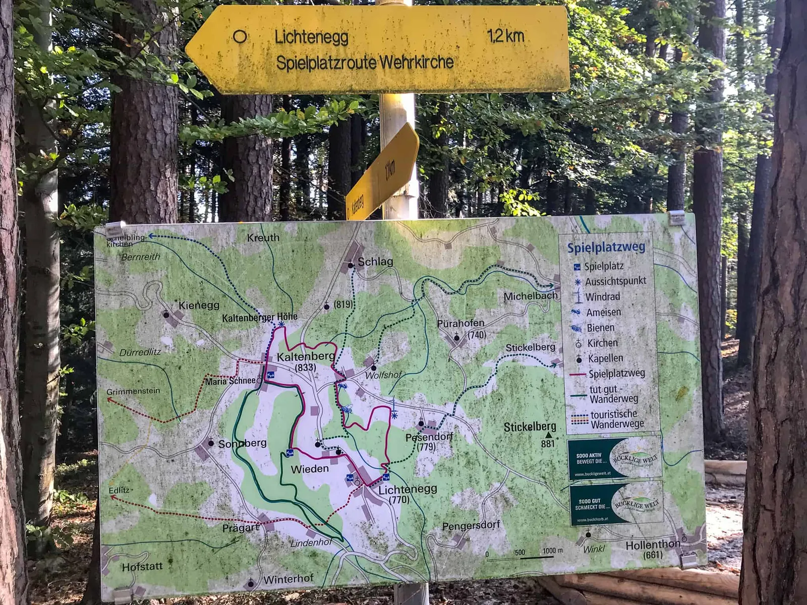
We're on the red route (Spielplatzweg).
It really does pass 4 playgrounds.
Definitely worth recommending as a family hiking trail.
There's also the option of the "feel-good" walk, which leads towards Sonnberg.
On to Lichtenegg
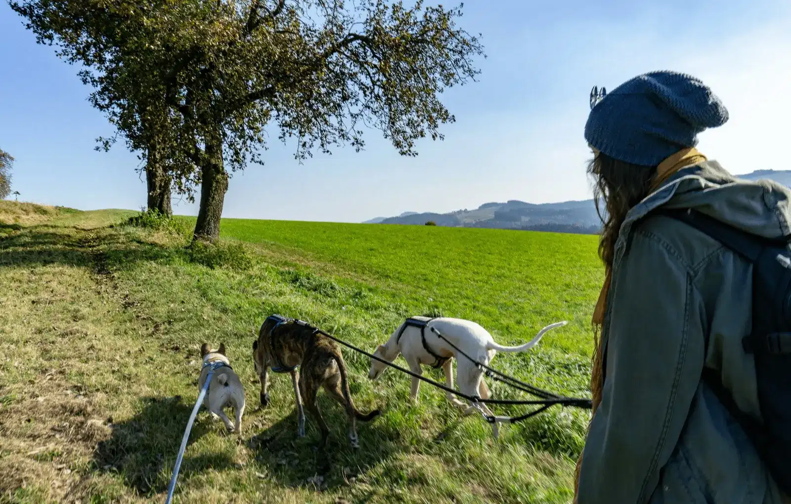
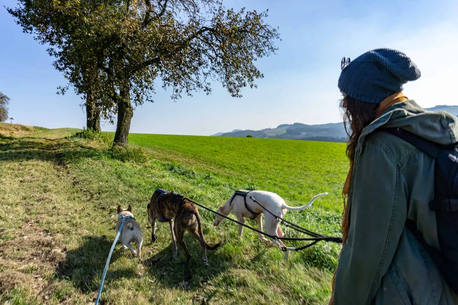
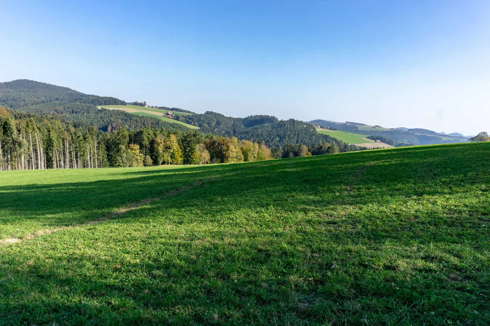
From the forest playground, the six of us head towards Lichtenegg. Before and after the village, we soak in the gently rolling hills that the Bucklige Welt is famous for, all bathed in sunshine.
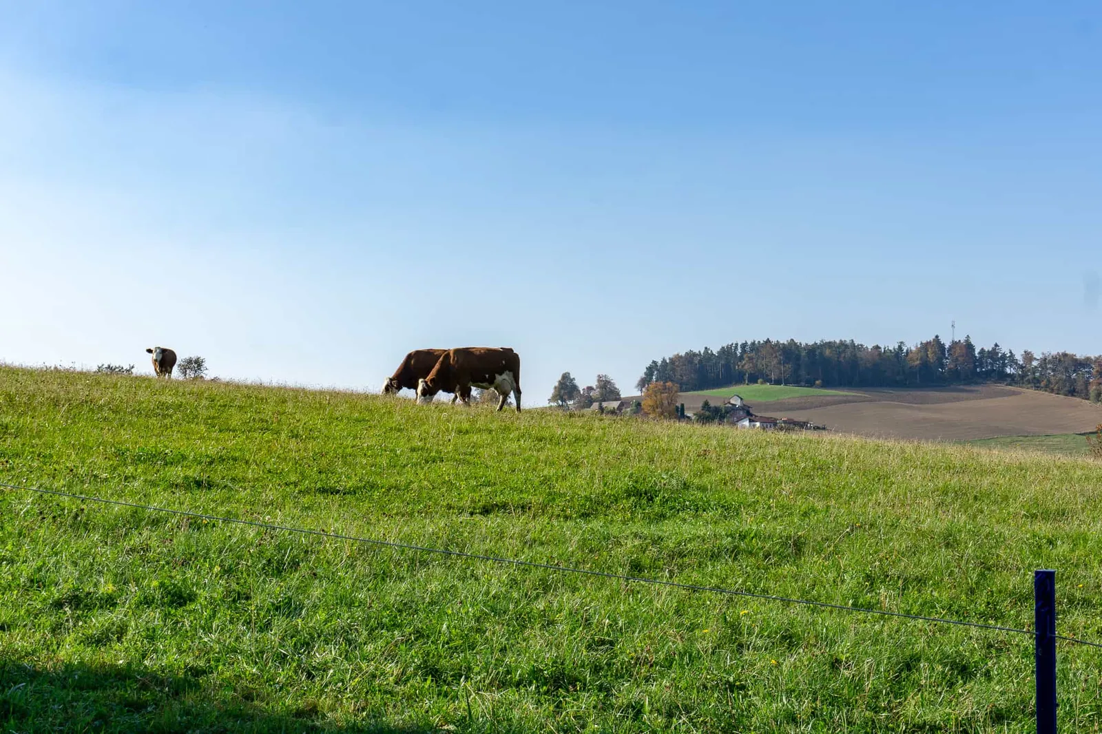
In Lichtenegg we turn left and hike past a small, fenced herd of cows. At one point we have to cross a pasture very briefly — the ruminants are a good distance behind us though, and carry on grazing without paying us any attention.
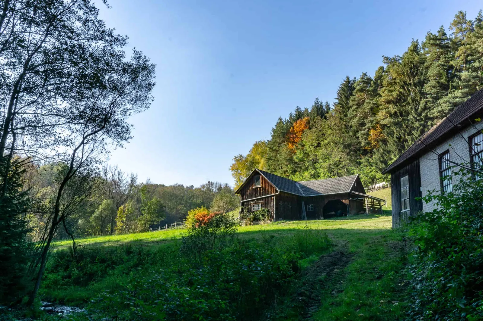
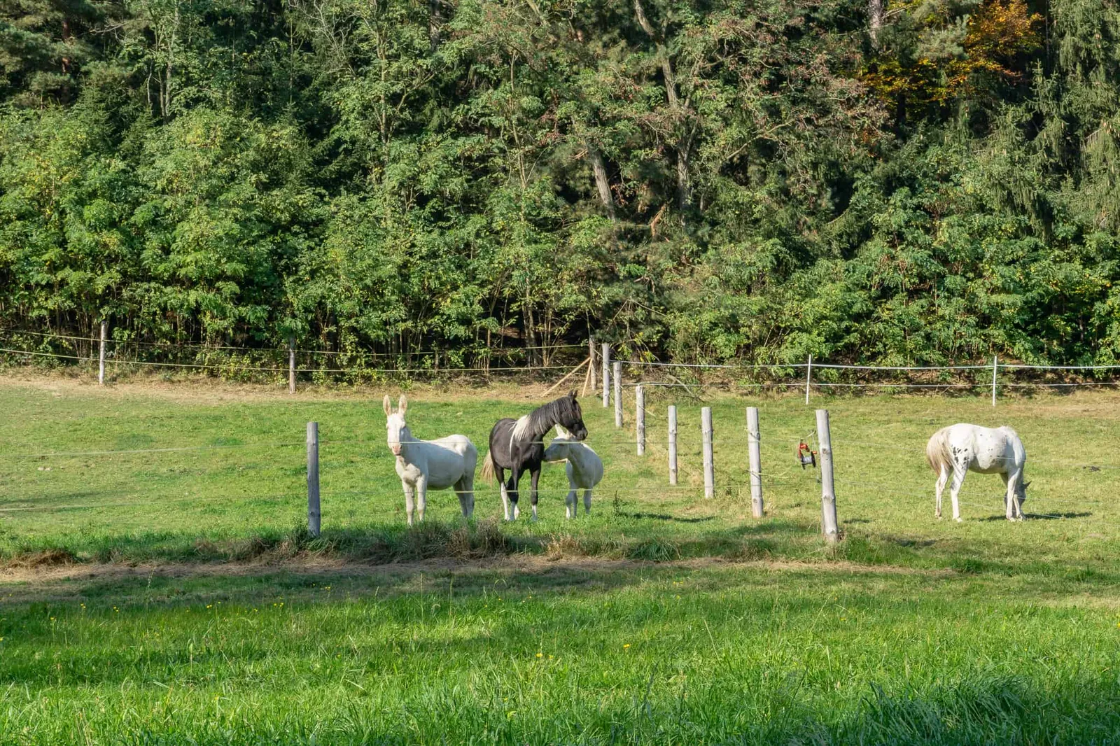
After another stretch of woodland we cross a small stream and come across a lovely farm with horses and donkeys. And because it's so idyllic, a deer promptly leaps out of the bushes right beside us. Luckily only Atlas really notices it, and we even manage to convince him not to send the others into a complete frenzy.
The wind turbines
After the deer encounter we hike on uphill towards the wind turbines, which captivate us so completely that I forget to take photos. We can't find the path that's supposed to be there according to the map, so we cut across an open field until we reach the next section of forest.
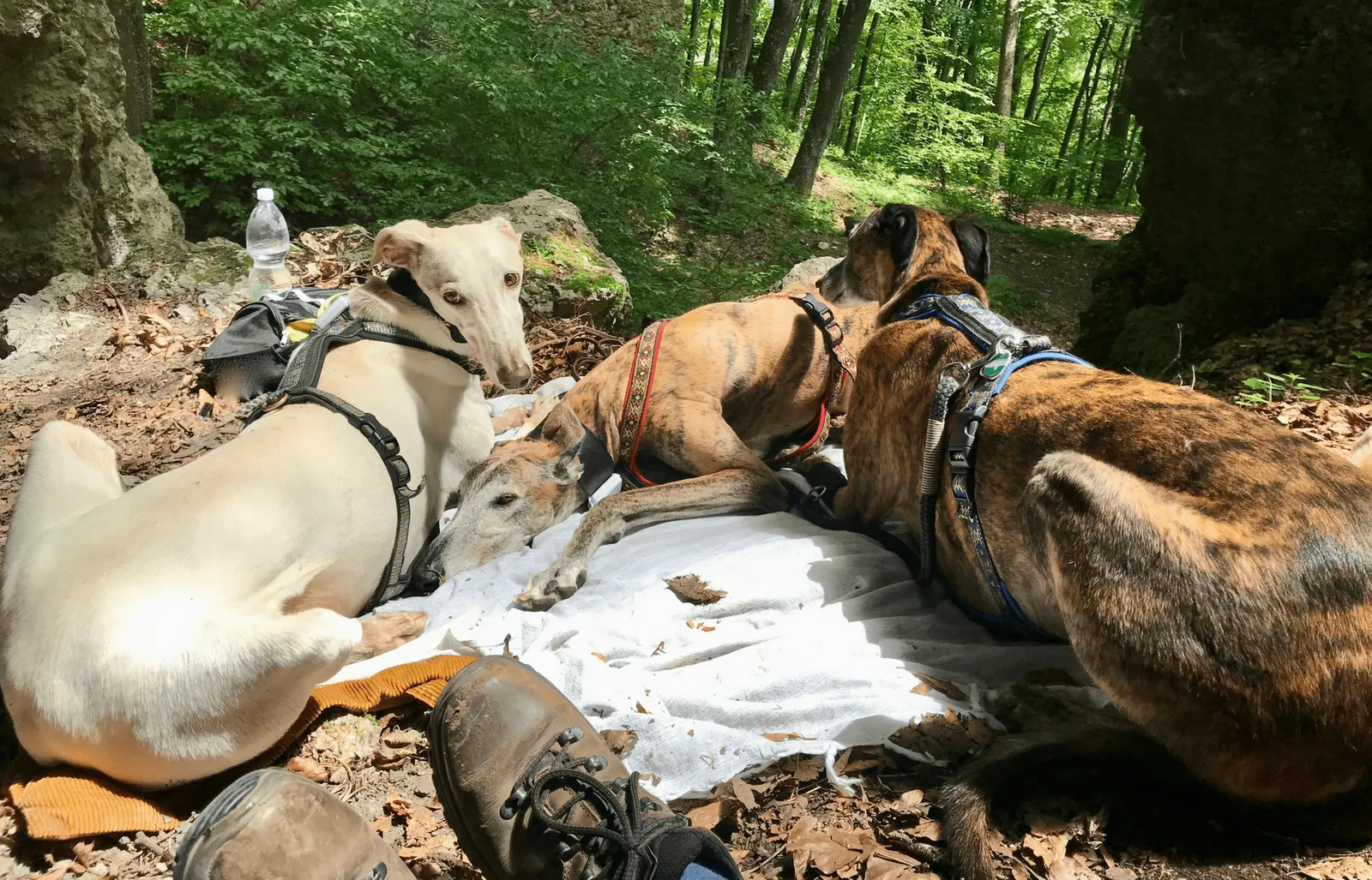
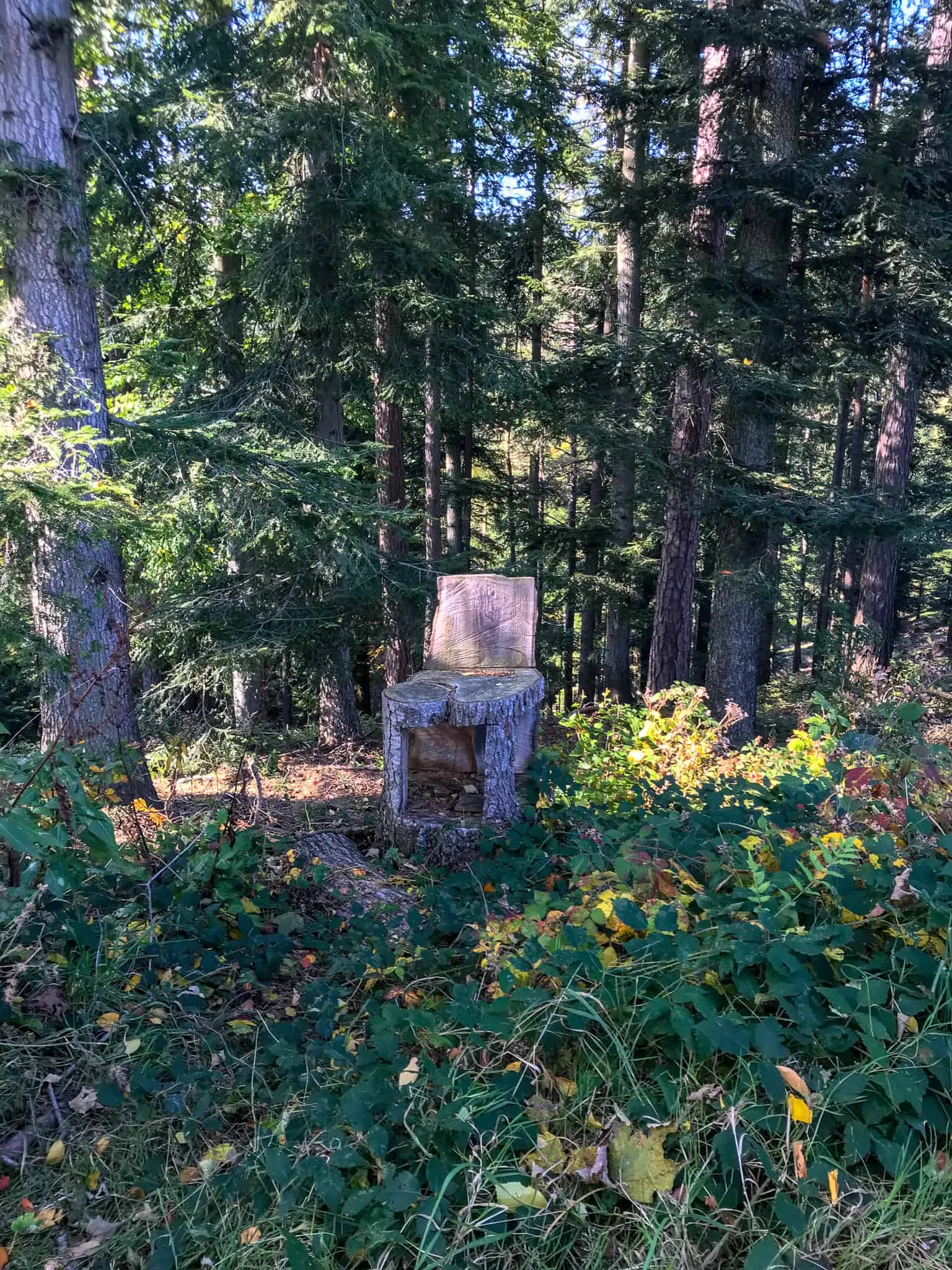
There we keep it simple and make ourselves comfortable on the forest floor with blankets for a snack break. Filled rolls for Nina and me, spreadable sausage for the dogs, and water for everyone. A bend further along, as we continue walking, we spot a wooden armchair and a table with a bench where we could have taken our break too. Would've been handy to know ;)
Back to Kaltenberg.
After a brief wrong turn caused by "app confusion", we walk along the meadow beside the main road all the way to Tafern. After that we dip once more into the wonderful autumn forest and drink in the colours gifted by the evening sun.
We reach another road, which we cross to pass through one final stretch of woodland. We cut across a meadow and join the path that leads straight back to the car park in Kaltenberg.
After roughly 3 hours we arrive, pleasantly tired, back at the starting point of our hike.
Spielplatzweg hike — Kaltenberg | Lichtenegg — Bucklige Welt — Lower Austria
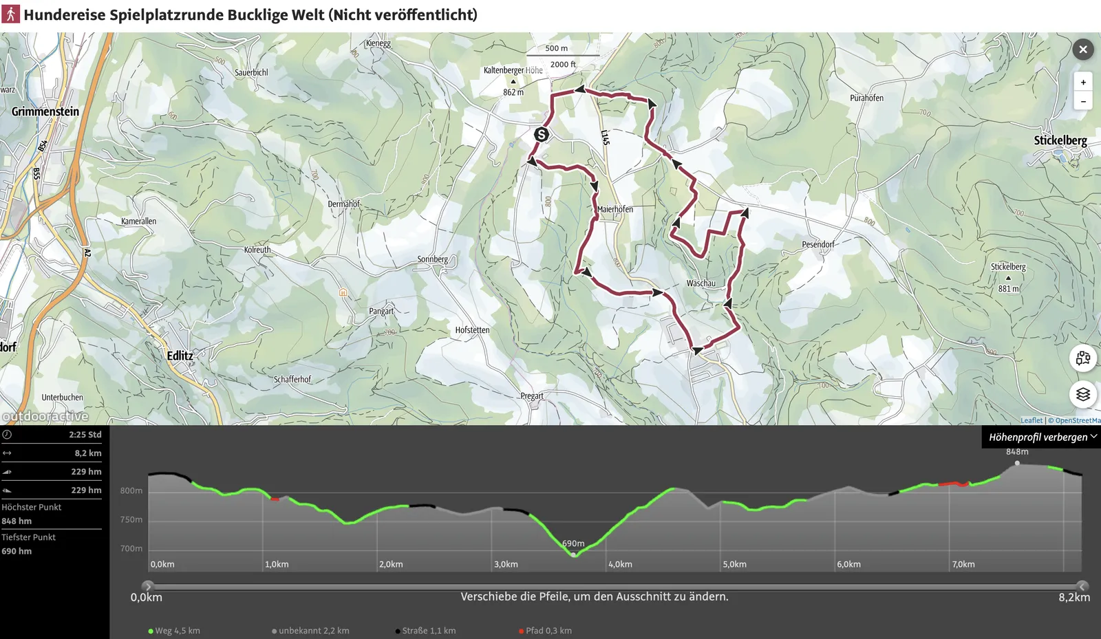
Route details
- Pace: moderate
- Walking time: approx. 2:40 hours
- Total duration: approximately 3 hours
- Distance: 8.2 km
- Ascent: 229 m
- Descent: 229 m
- Highest point: 848 m
- Lowest point: 690 m
Dog facts
- Hike through forests and small villages
- No farm dogs or cats spotted
- Alternating inclines, flat sections and descents on forest and meadow paths
- A stream to drink from is crossed along the way
- No dog encounters during the hike on this day
- Cows, horses and donkeys spotted (all fenced in)
- One deer sighting — noticed by Atlas
- Met a few walkers at the start, then no one else