Last week, Martina & Atlas attended a bonding course as part of their therapy dog training. To keep Tiago & Neroli entertained too, it was finally time for a hike with the pups again.
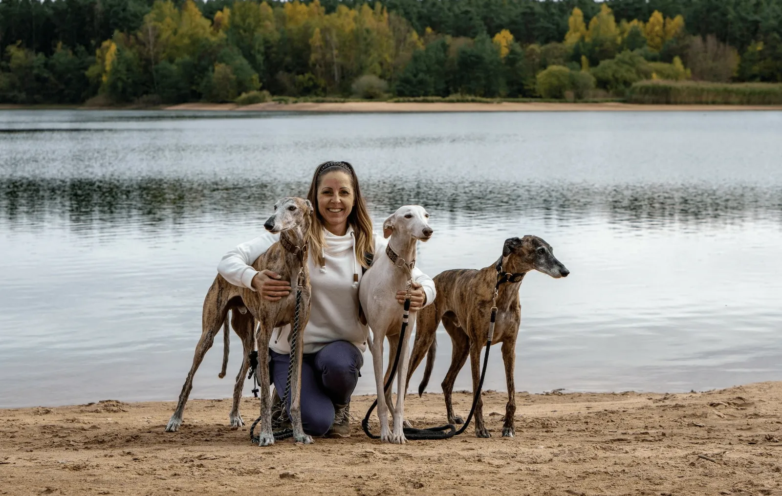
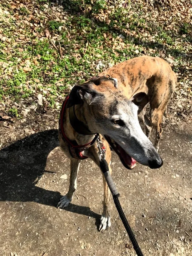
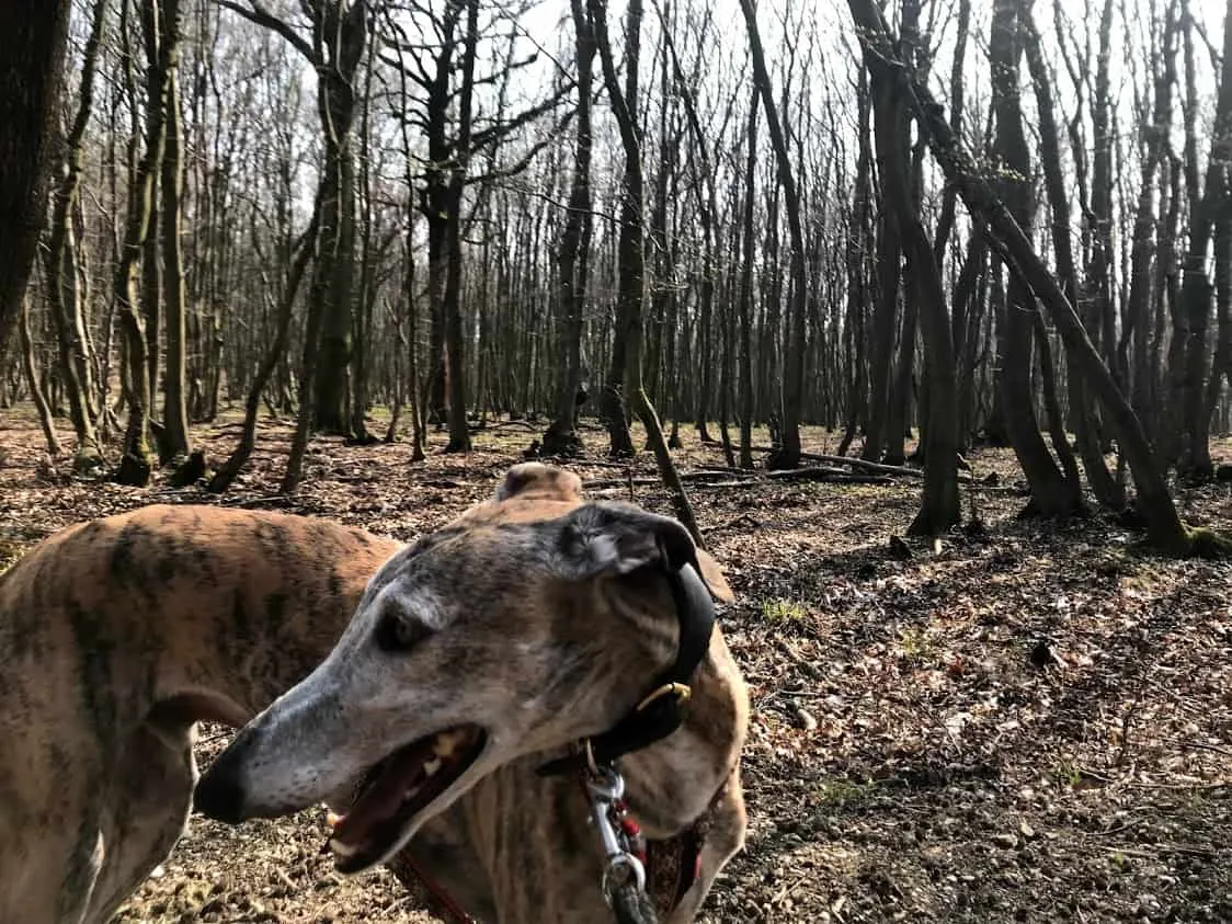
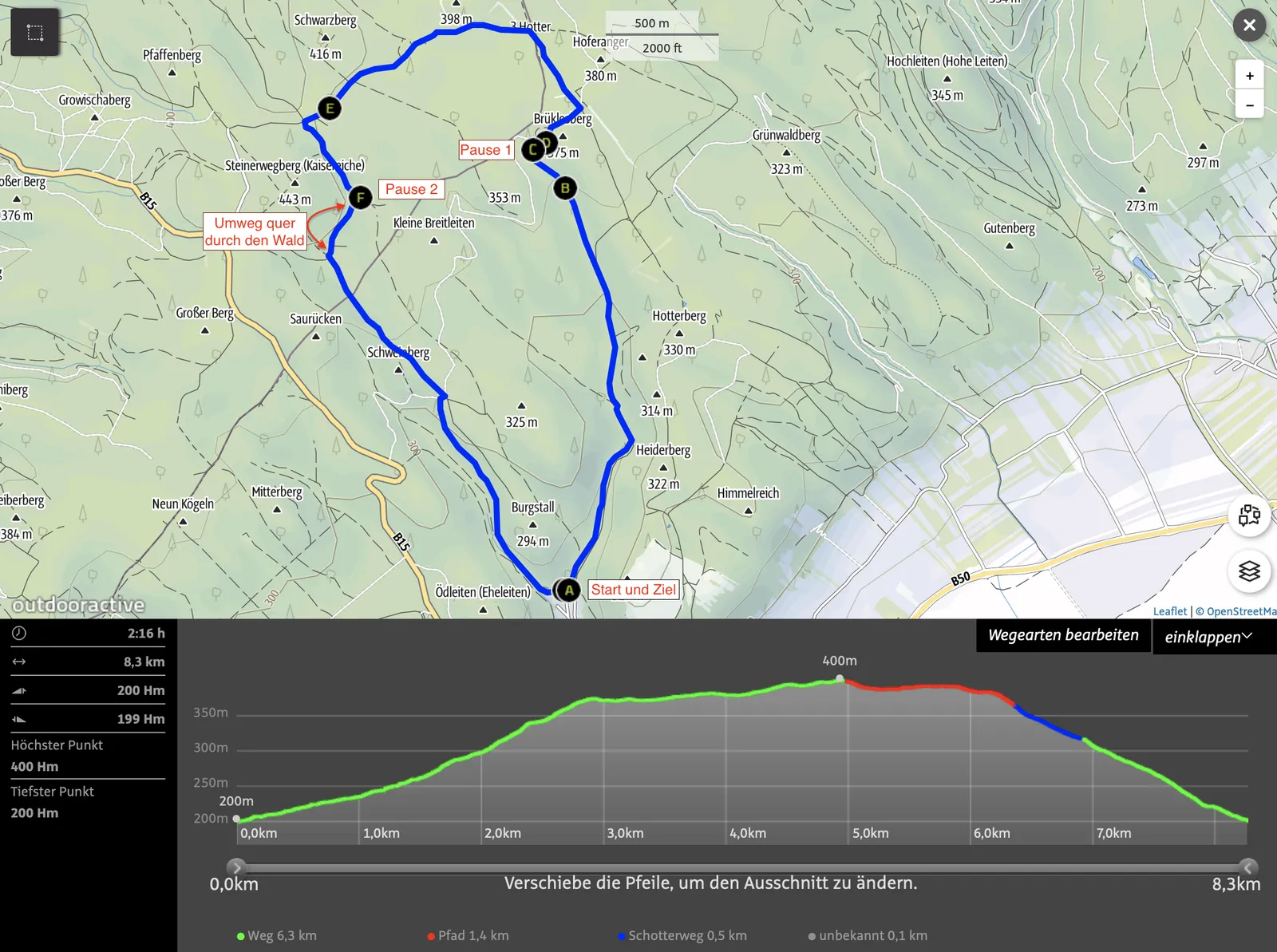
On Sunday I pick up the two Galgos along with Murphy from the therapy centre, drive over the Leithagebirge and set my sights on the small, dreamy village of Donnerskirchen in Burgenland. Archie still needs to take it easy following his toe amputation and stays home on the sofa with his dad. Tiago, Neroli, Murphy & I set off to tackle the roughly 8 km circular route.
Donnerskirchen towards the Kaisereiche
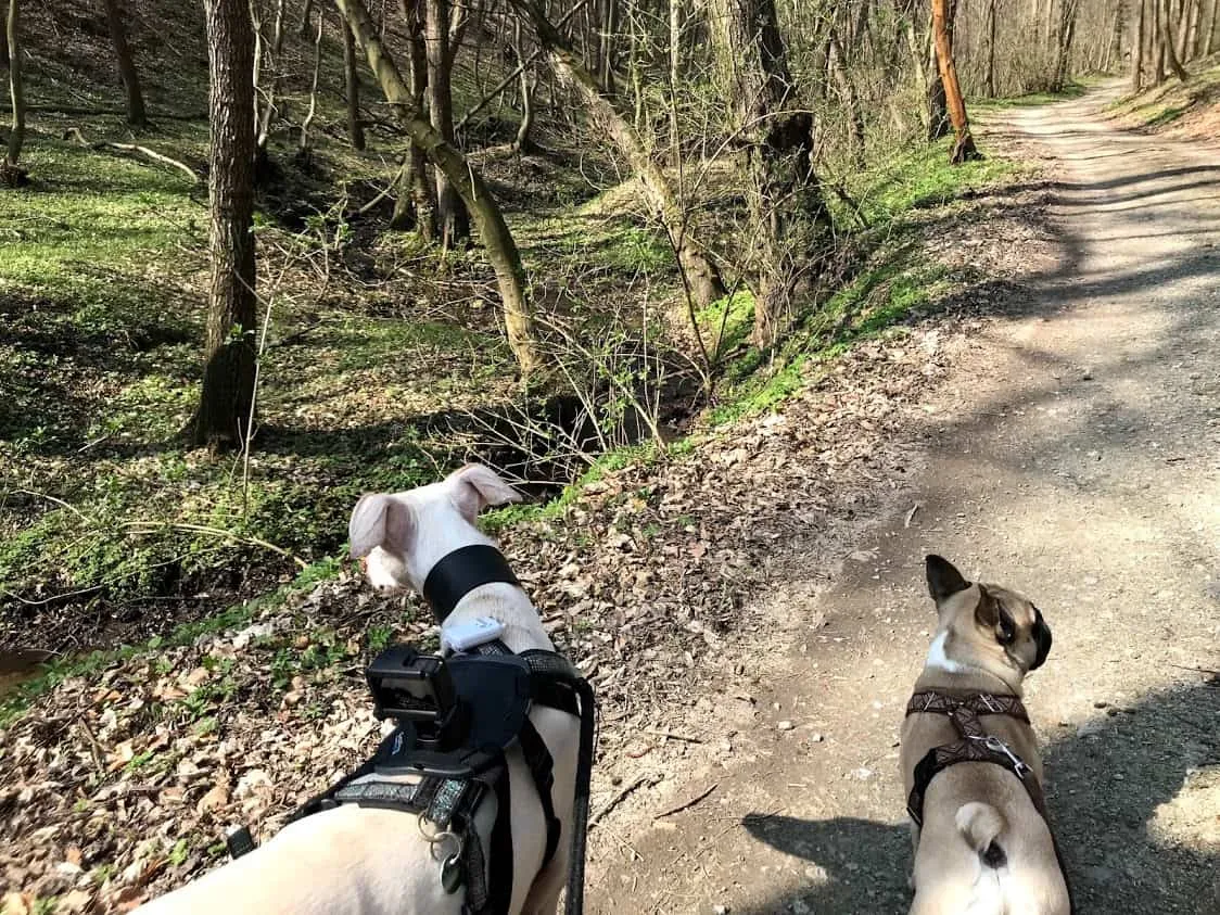
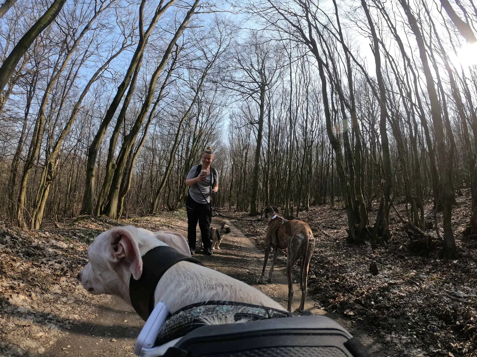
Starting Point and Camera Dog
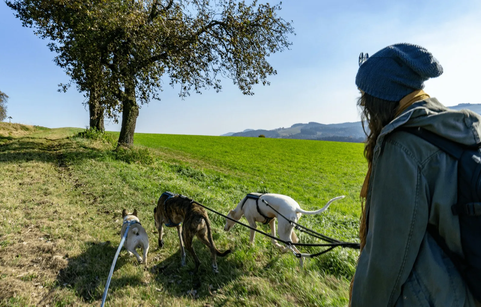
In Donnerskirchen, I don't follow the main road towards the village centre but instead turn left. At the end of the street I find a few parking spaces in front of a large meadow with a children's playground. I park there, grab my backpack and get the 3 dog lads out of the car.
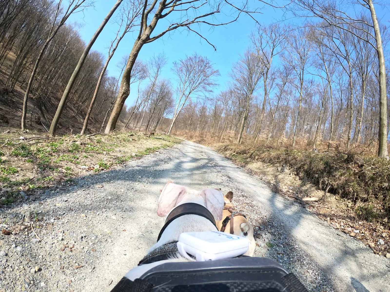
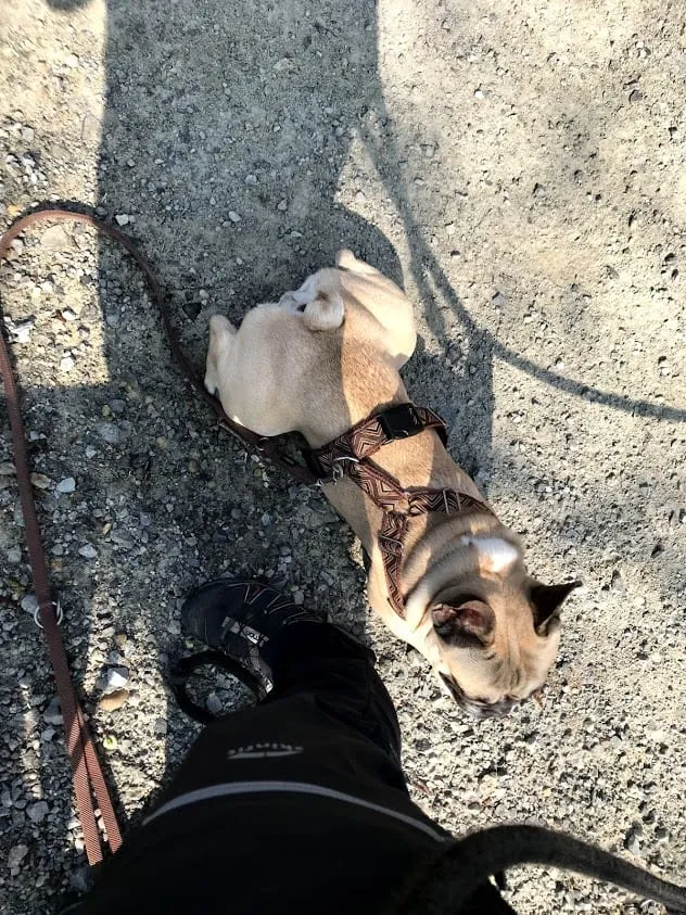
Neroli is my "guinea pig" today and gets to test a new gadget. I strap a GoPro and chest harness onto him and try to get the hike towards Mannersdorf underway. Little Neroli is a bit puzzled at first about why he has to carry a camera. But after some encouraging words about what a great job he's doing, he finds his role as camera dog pretty cool and off we go!
The Route to the First Break
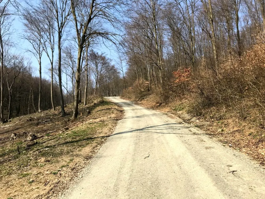
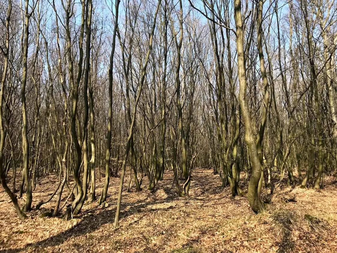
The forest road through the Teufelsgraben is all ours that day. It's midday and around 20°C. I soon shed my fleece jacket, as the path climbs steadily uphill and I'm working up a bit of a sweat (let's blame the winter fitness break...). But since this is only the second proper spring day of the year, I savour the feel of the sun on my skin all the more.
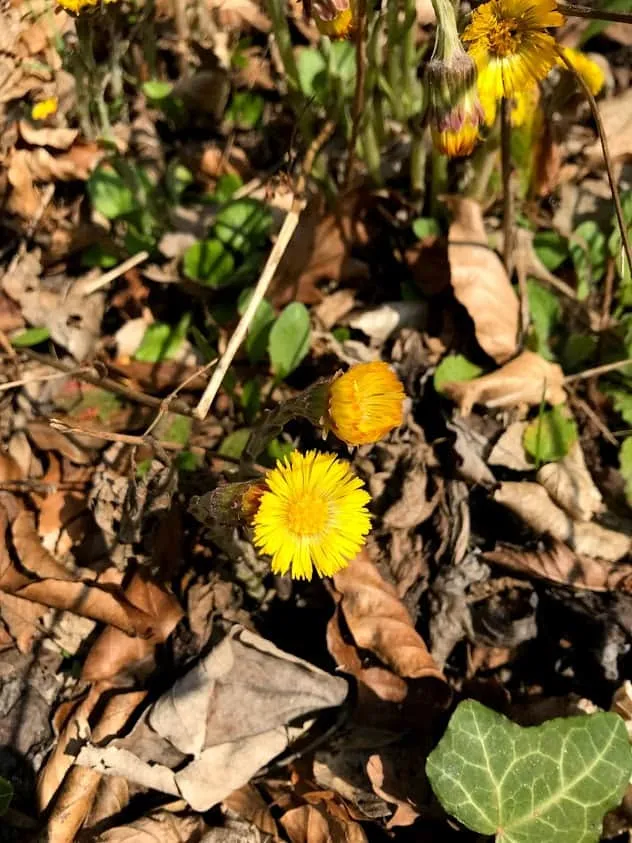
Nature is slowly waking from its winter slumber and we notice a lot of rustling in the leaves: the lizards are stirring in the warmth. Countless butterflies accompany us at the start of the hike and I spot a few spring flowers on the ground.
The little stream at the start of the trail is easily accessible for the dogs, and Murphy immediately wades in to cool his paws. Later, refreshment comes "only" from a water bottle. At a small hunting stand we take our first proper rest.
Meadow Track – "3 Hotter" Junction – Brünnlweg – Karl Watzke Weg
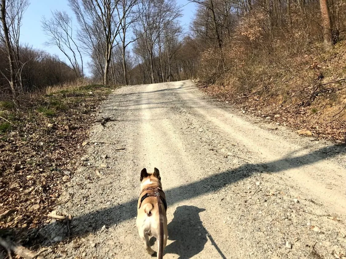
Refreshed and ready, we head right along the gravel track until we reach a beautiful meadow path. There we enjoy the cooler air on the flat trail through the forest. At the "3 Hotter" junction you could also continue straight ahead across "the Desert" towards Mannersdorf.
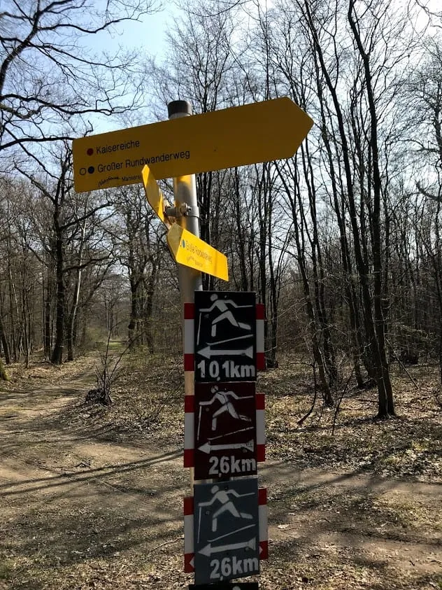
Murphy, Neroli, Tiago and I turn left onto the Brünnlweg, where we encounter the only other hikers on our route. First a couple who find it amusing that Neroli is wearing a camera, and shortly after, another pair with a small dog.
The GoPro battery lasts until this point, so here's where I'd like to show you the video:
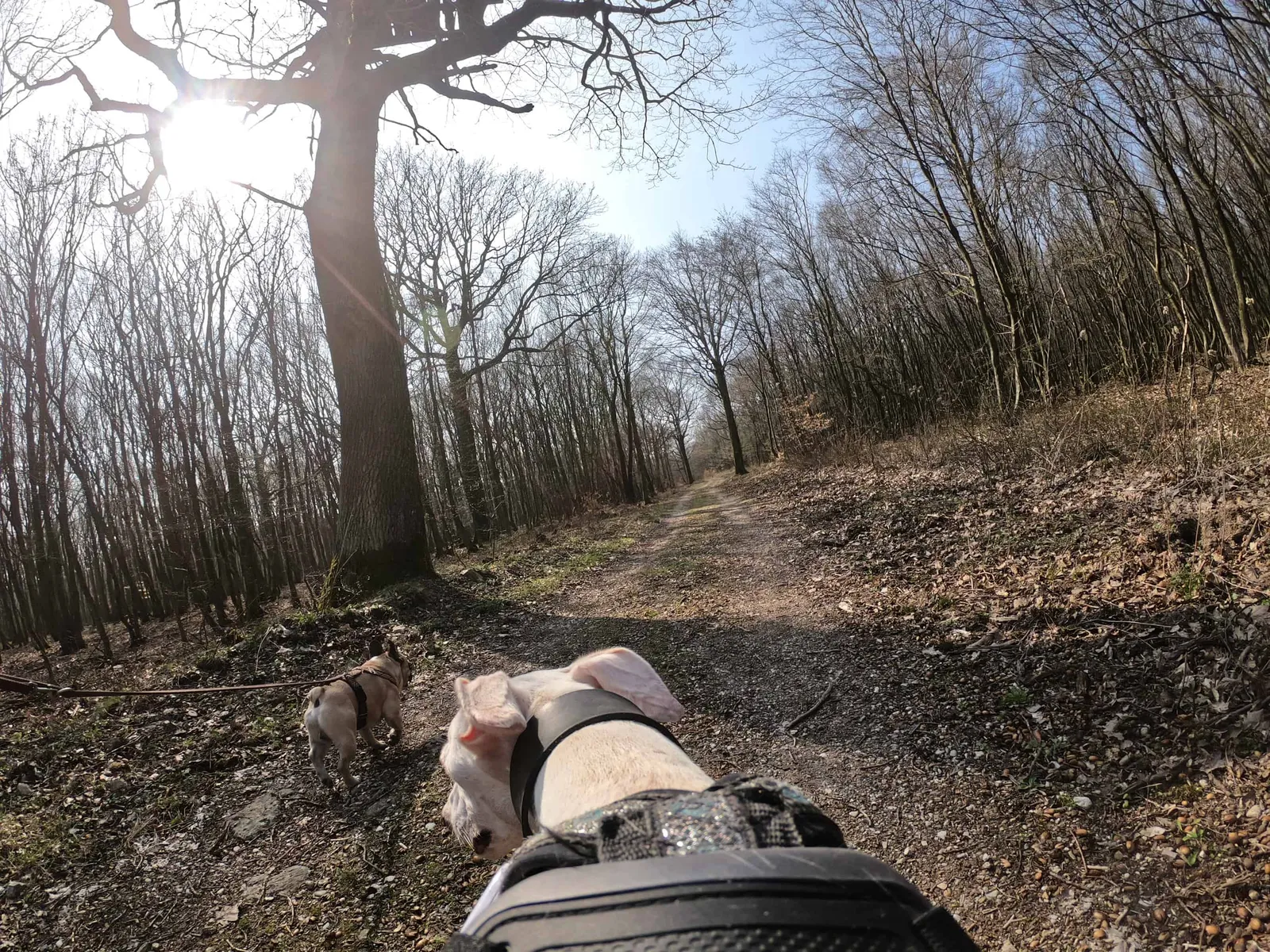
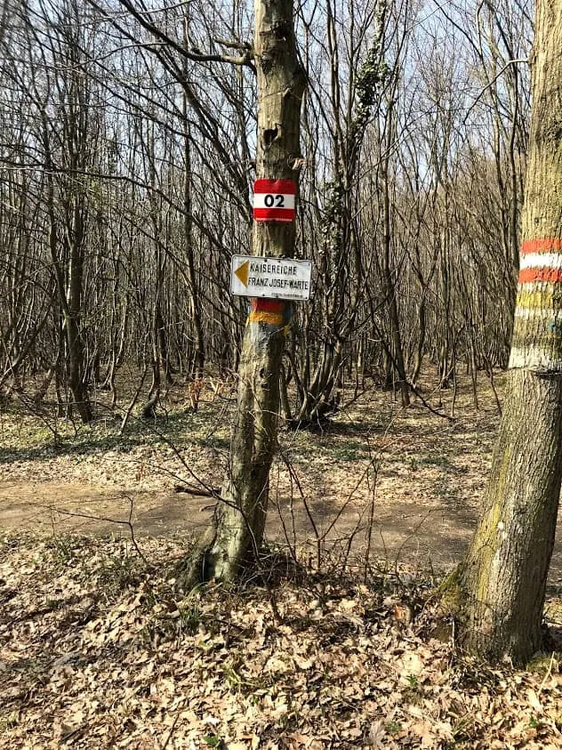
We pass some wonderfully quirky trees that look like works of art and sculptures, until the Karl-Watzke Weg beckons us to the left. This gently downhill forest track leads us to the junction towards the Kaisereiche. A sign points to an even narrower path with a fairly steep ascent. I start to hesitate.
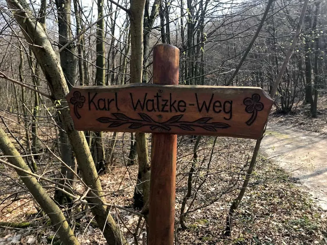
Do we really want to climb up to the Kaiser Franz Josef Warte (= Kaisereiche)? I decide against it and follow the Karl-Watzke Weg. Wrong decision — I can tell you that right now! The stone tower, built in 1888, would most likely have offered a stunning panoramic view that day.
Anyway... the journey is the destination! And downhill is at least a good start, I thought to myself. The 2 Galgos, the Frenchie and the hiking app have no objections, so after a quick snack we march on. A dotted path appears on the screen...
Somewhere in the Middle of Nowhere to the Steinerweg
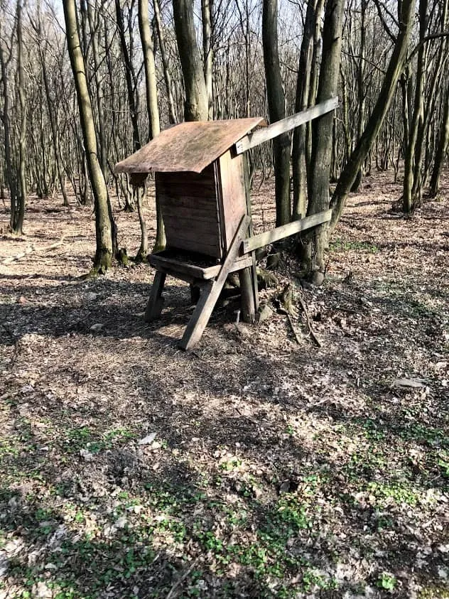
Tiago, Neroli, Murphy and I hike on until a small clearing with a deer feeding station comes into view. In theory we can simply carry straight on. In practice, there's nothing but scrub and not even a path to be seen. And so begins our adventure section: we four warriors battle cross-country through the leaf litter and between the branches.
I have to briefly explain to Murphy that it would be helpful if he stayed close to me to keep the lead chaos manageable. But after that, all 3 dogs work brilliantly together and we conquer the undergrowth without a scratch ;) (unfortunately the GoPro battery was already dead during the action)
We've found our way back to a marked hiking trail — one that leads directly away from the Kaisereiche meadow. But since today is apparently just that kind of day, I now miss the turning to reach the Steinerweg. Branches, thorns and company are so overgrown at this dead end that we have to turn back.
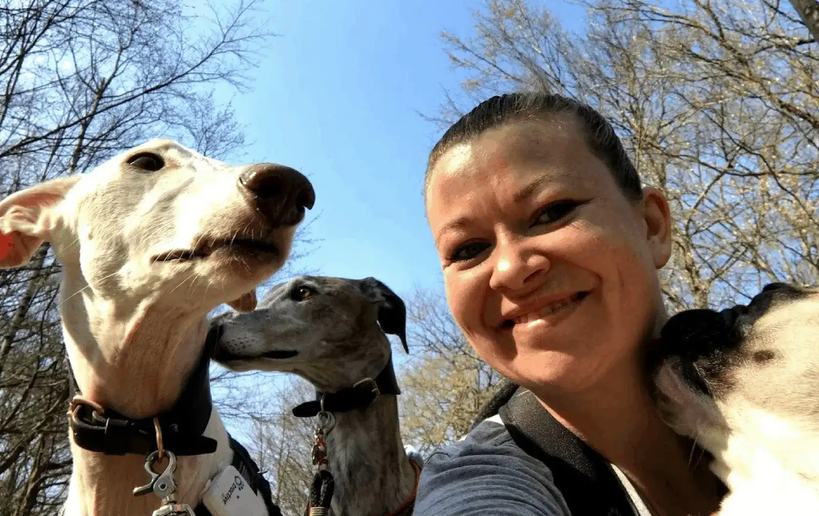
When we finally reach the Steinerweg, I'm so happy that it's time for a group selfie (see the post's cover photo). I've just managed to put everything away and stand back up straight when I notice mountain bikers coming from above. They're not going flat out and they do slow down, but for a split second I get a little fright. The dogs couldn't care less.
For the rest of the descent we're on our own, enjoying the peace and quiet. The last left-hand bend leads us back to the children's playground and the car park. Neroli, Tiago & Murphy get another drink of water. I take a sip too, bundle the furry crew into the car and zoom back to Martina — happy and tired.
Hike Donnerskirchen towards Kaisereiche | Burgenland
Route Data
- Pace: moderate
- Walking time: approx. 2:15 hours
- Total duration: approx. 2:45 hours
- Distance: 8.2 km
- Ascent: 200 m
- Descent: 199 m
- Highest point: 400 m
- Lowest point: 200 m
Dog Facts
- Hike along forest roads, meadow and woodland paths
- steady uphill at the start, followed by a flat stretch, then downhill back to the starting point
- a small stream for drinking is easily accessible at the beginning
- Hardly any other hikers that day, one brief dog encounter, 2 mountain bikers
- no wildlife sightings (only heard lizards rustling in the leaves and spotted plenty of butterflies)