In last week's post I told you about our Hundereise to the Pielachtal, also known as the Dirndltal. Murphy, Vincent, my favourite person and I are staying at the Steinschalerhof and already completed the first hike from Warth towards Kirchberg an der Pielach.
Today I'm adding more hiking and day-trip tips for Lower Austria's Mostviertel. We tried out the first three ourselves – the others are still on the bucket list or simply come highly recommended!
Burgruine Rabenstein
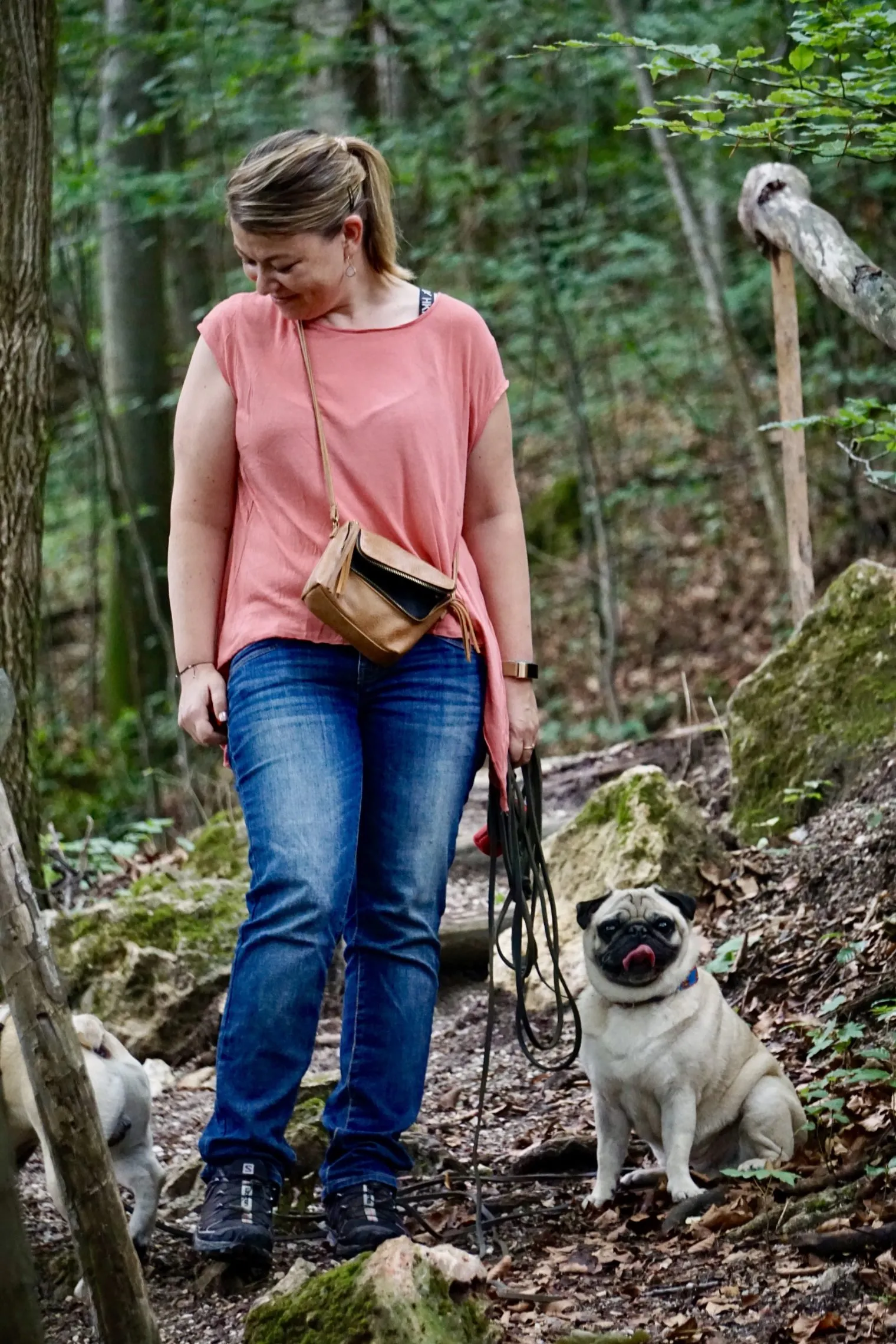
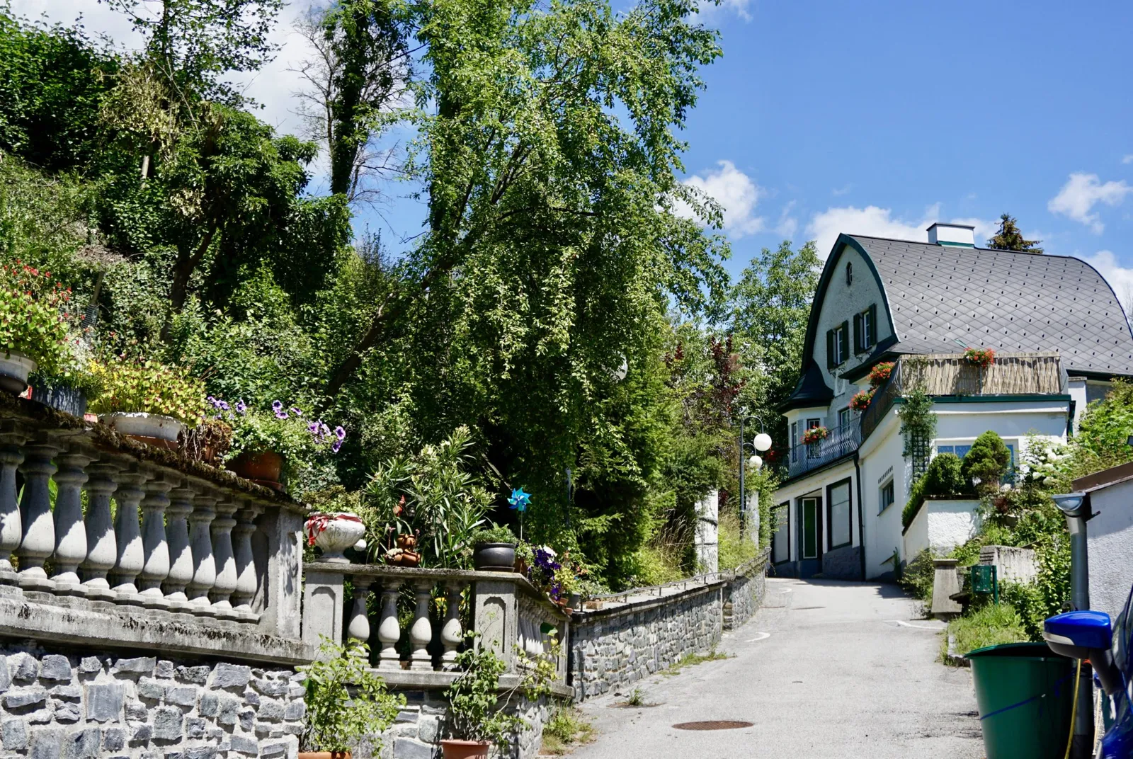
After a generous breakfast from the organic buffet at the nature hotel, Murphy, Vincent and my favourite person are ready to climb Burgruine Rabenstein with me. We drive to the Rabenstein volunteer fire station, where parking is permitted, and leave the car there.
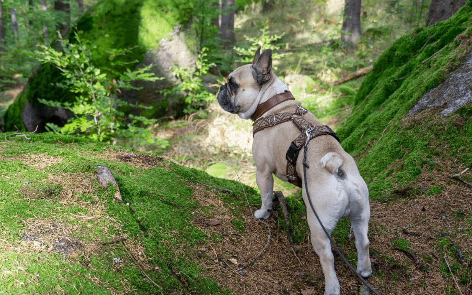
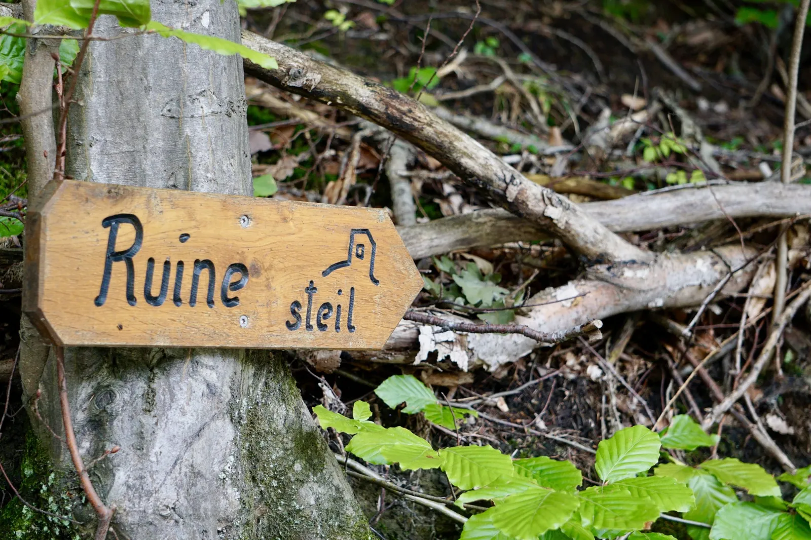
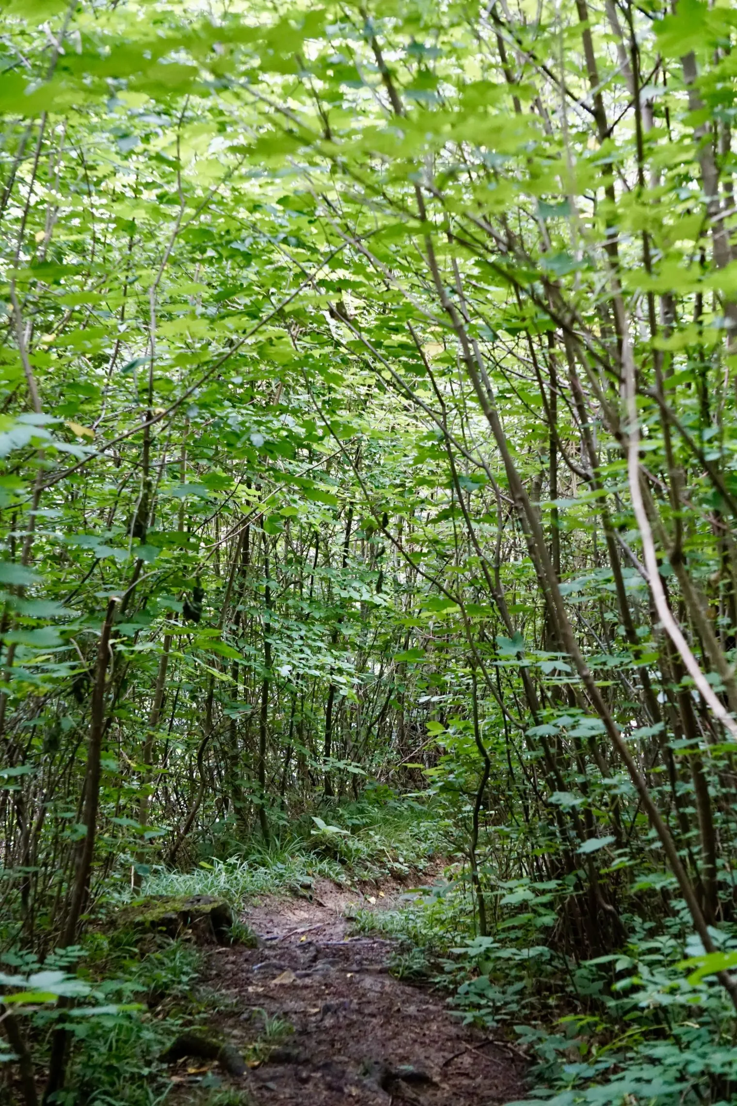
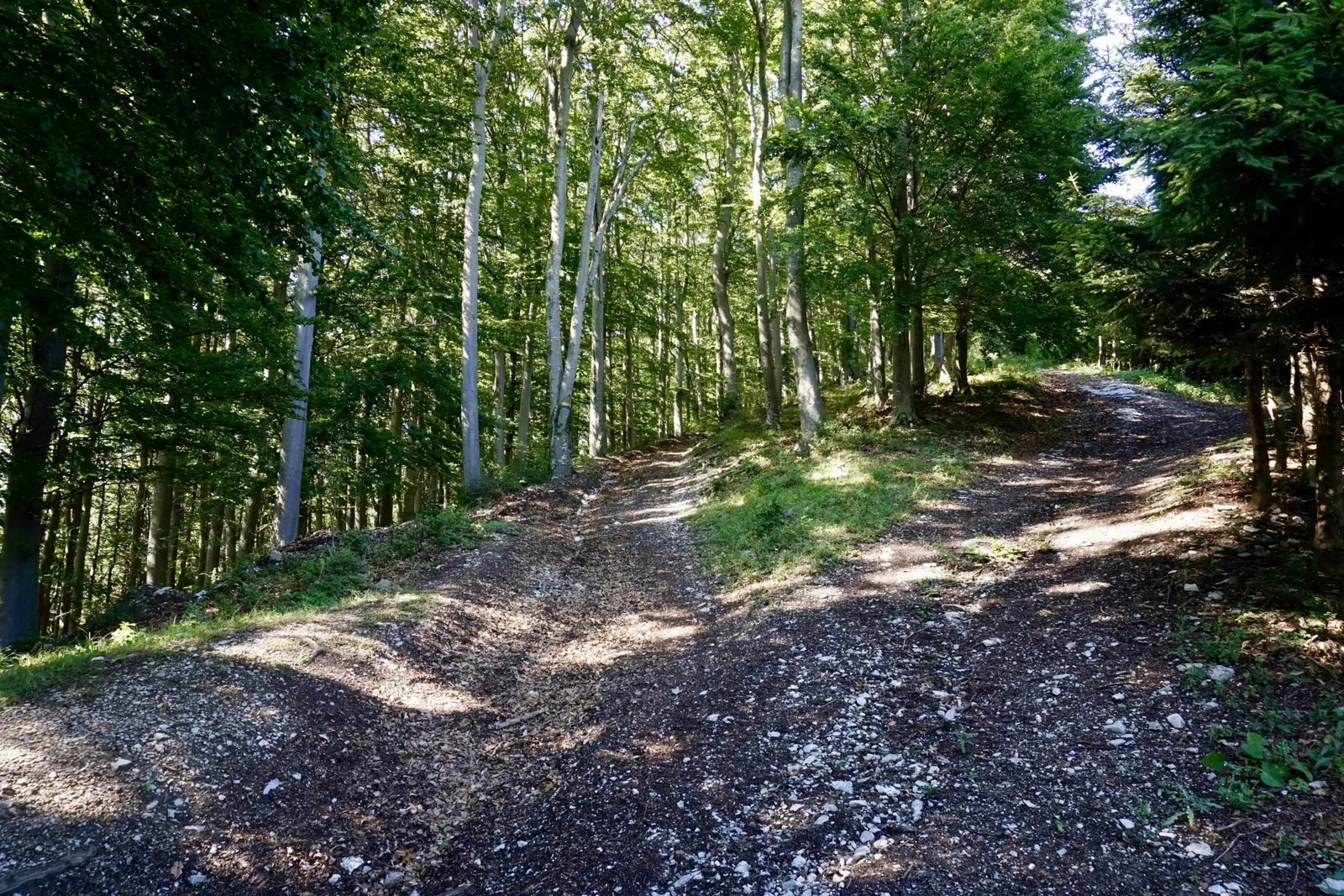
We cross the main road and can already spot the signs pointing towards the ruin. Turning left, we take the forest track where dogs must be kept on a lead. Cycling and horse riding are prohibited. Just past the mandatory and prohibitory signs, a wooden sign marks the steep path through the forest – and that's the one we take!
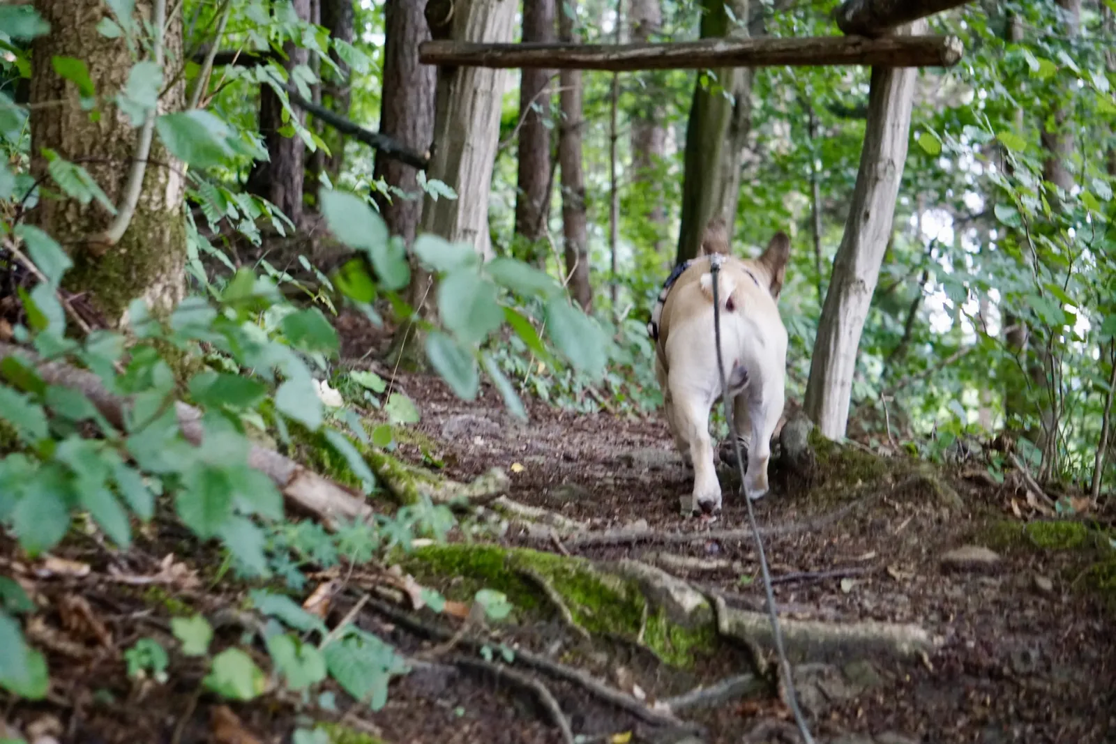
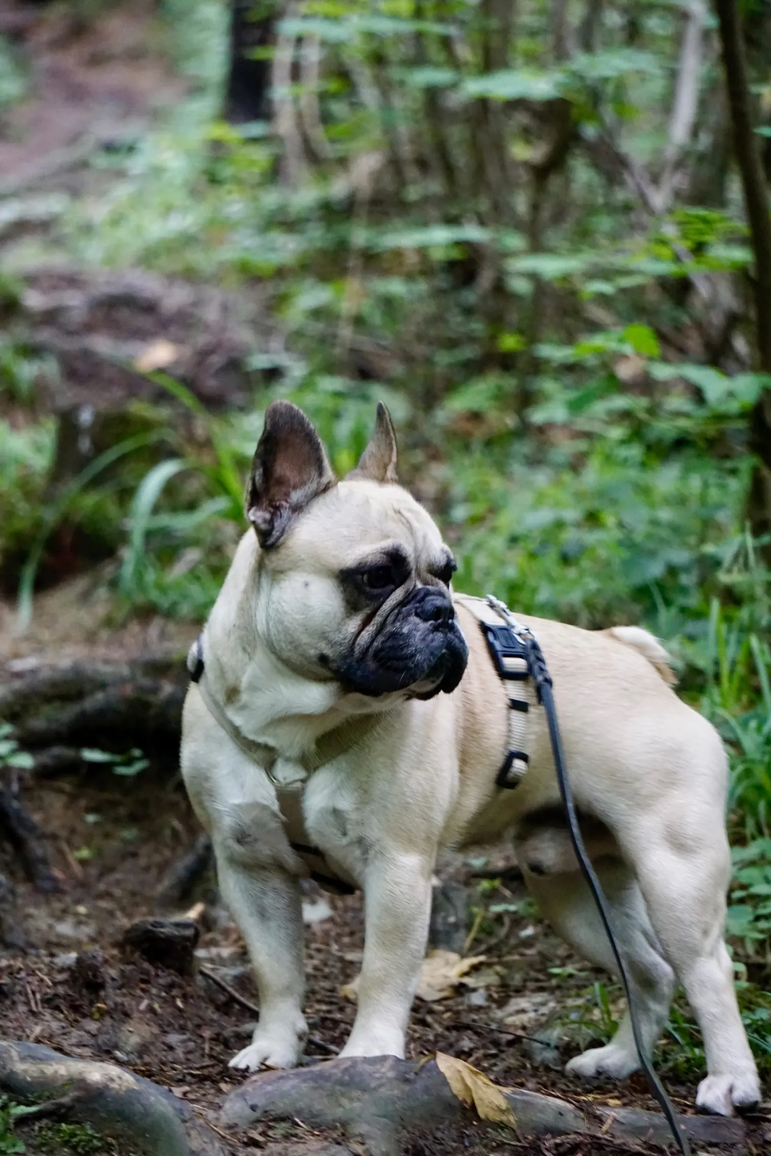
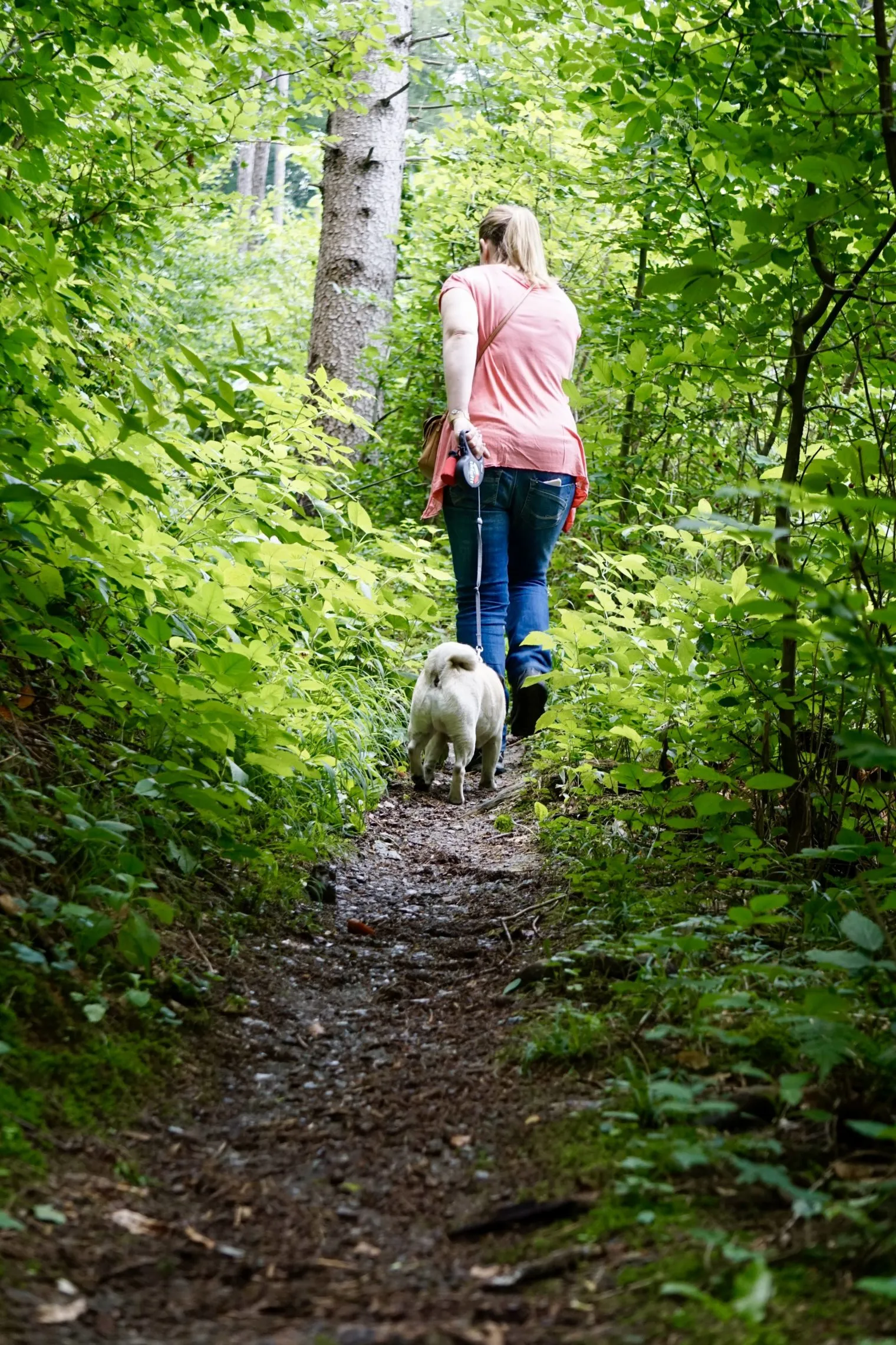
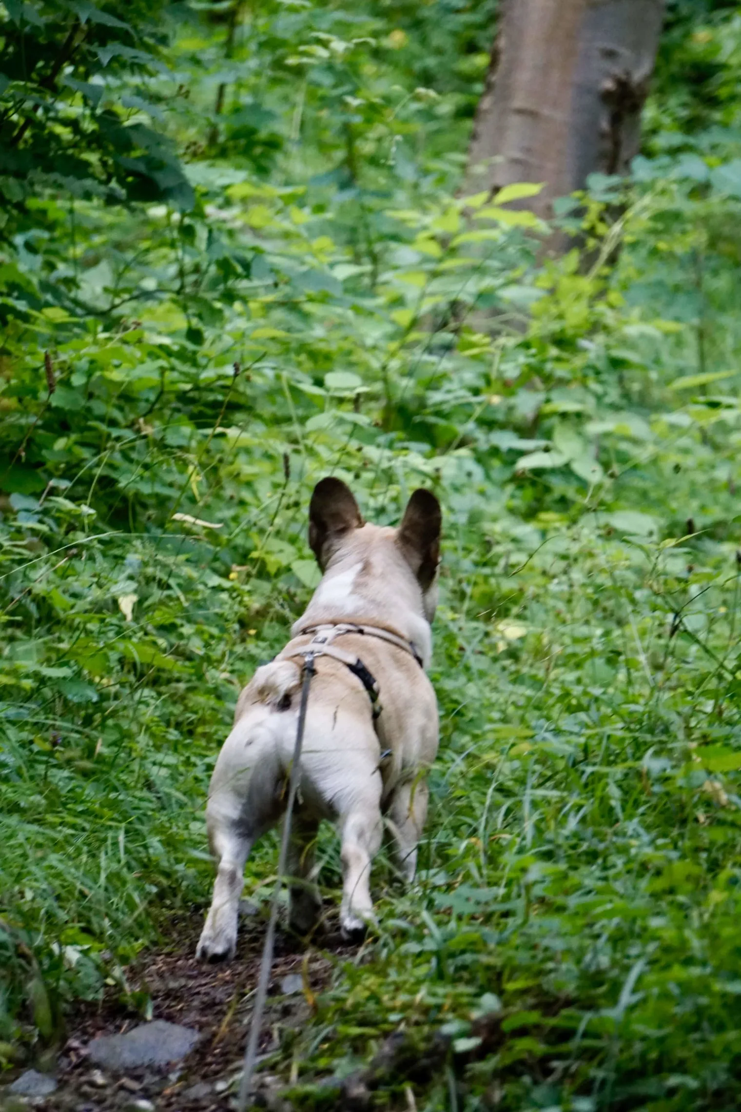
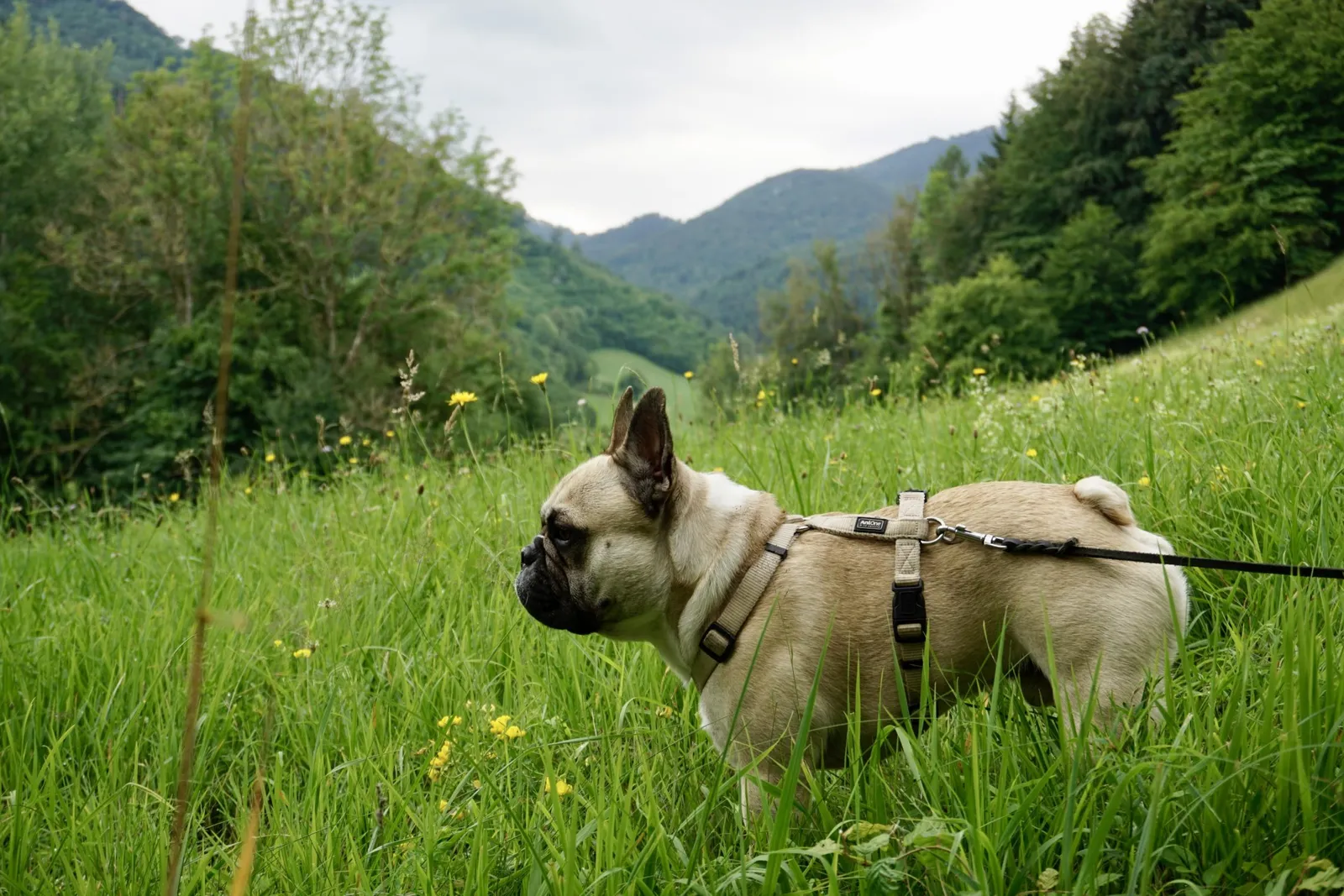
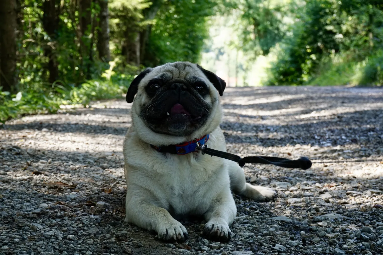
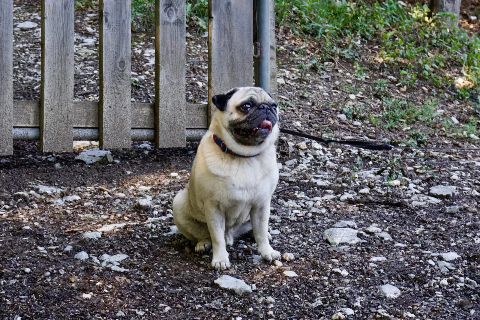
I'm not sure whether it's the slightly overcast weather, but we barely meet a soul on the walk (up at the ruin we briefly encounter a friendly group of hikers). The two dogs are well-behaved companions. Murphy trots ahead boldly and inquisitively, while Vincent plods bravely alongside me, soaking up the nature.
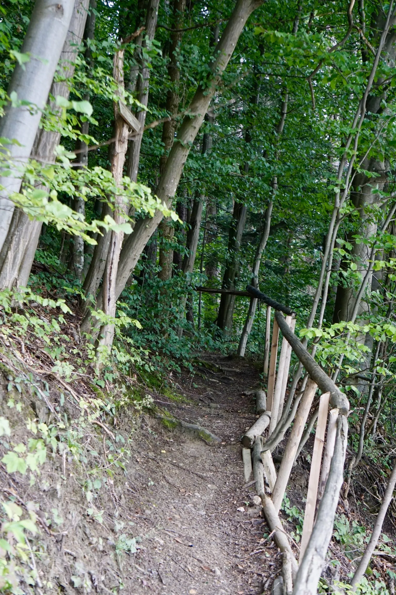
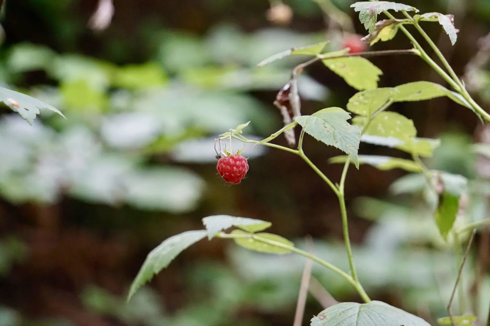
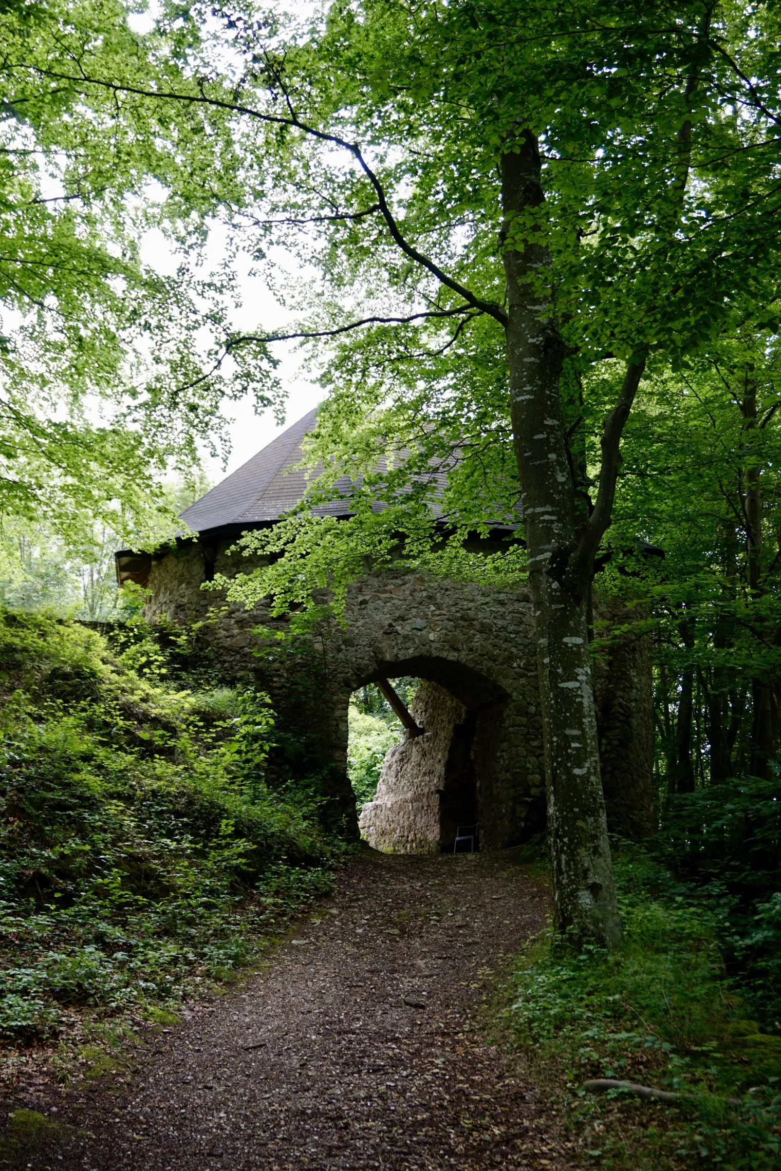
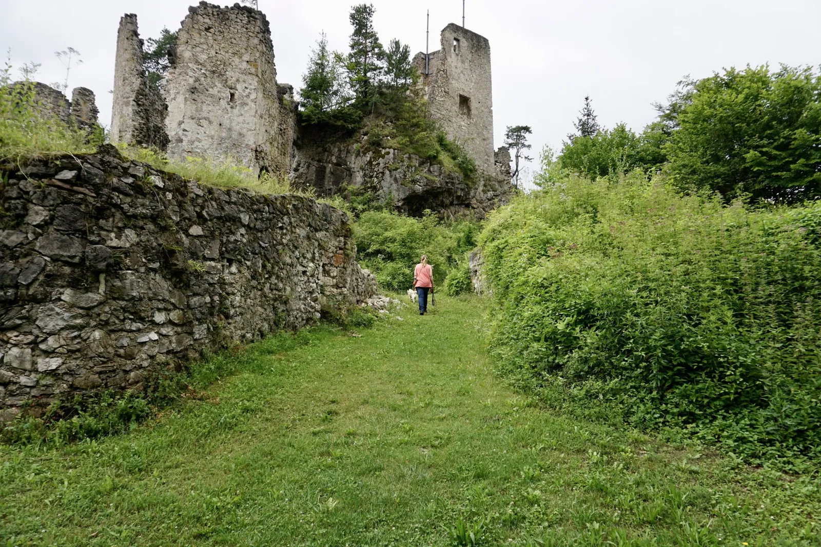
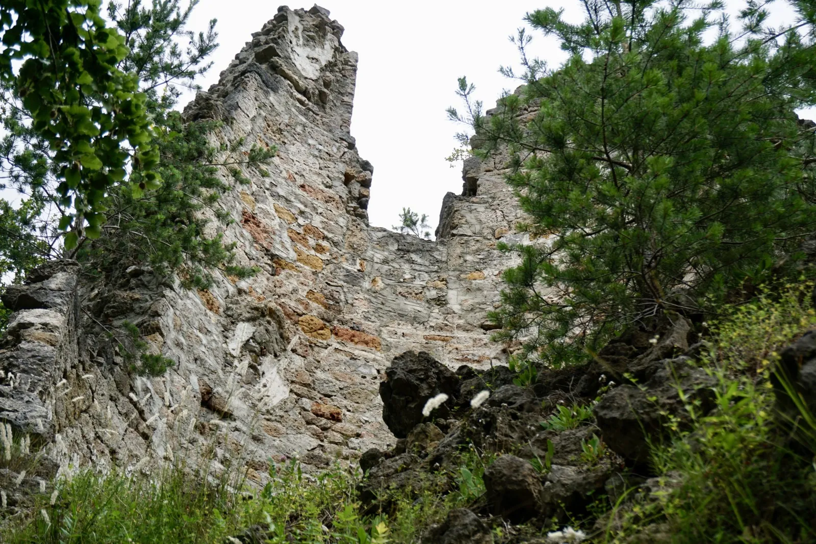
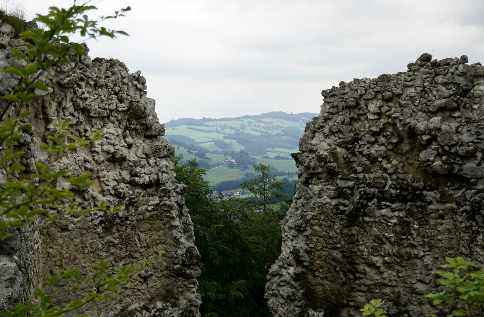
Along forest paths lined with raspberry bushes, we reach broad earthy steps that lead us back onto the forest track, which takes us all the way to the ruin. Beyond the castle gate a slightly larger open area awaits, complete with a bin (for our northern readers: a rubbish bin 😉 – not an unimportant piece of information for those of us carrying poo bags).
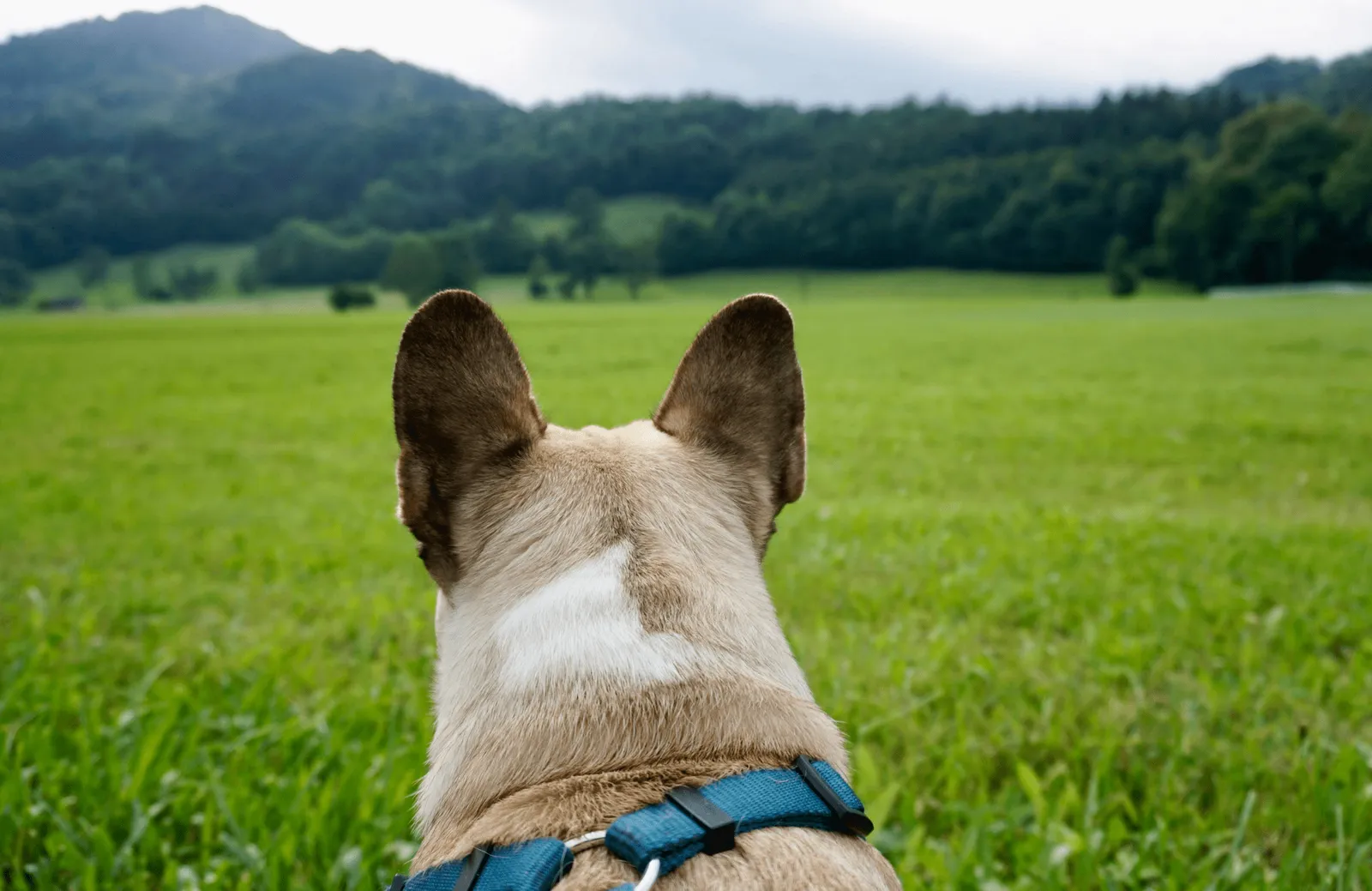
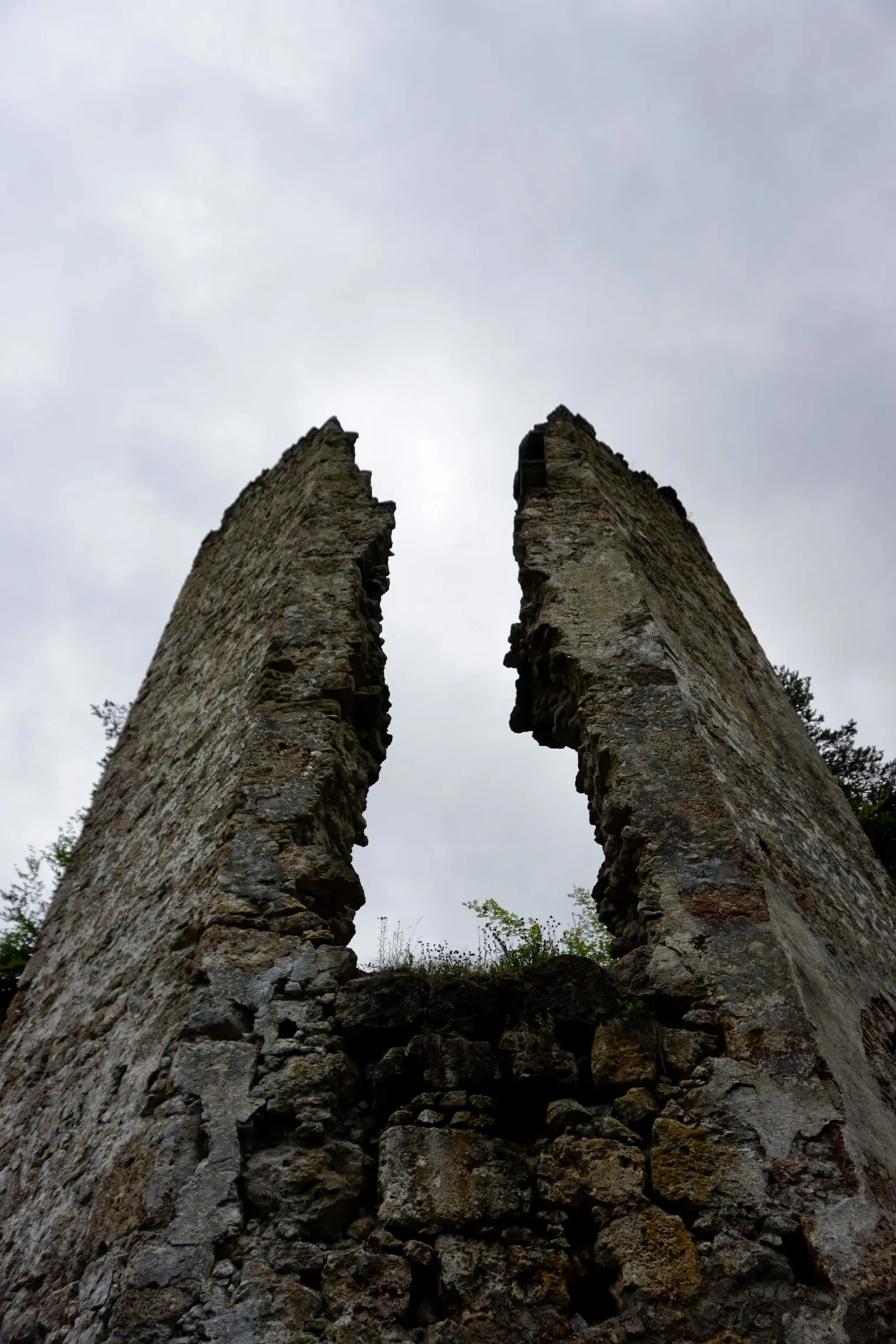
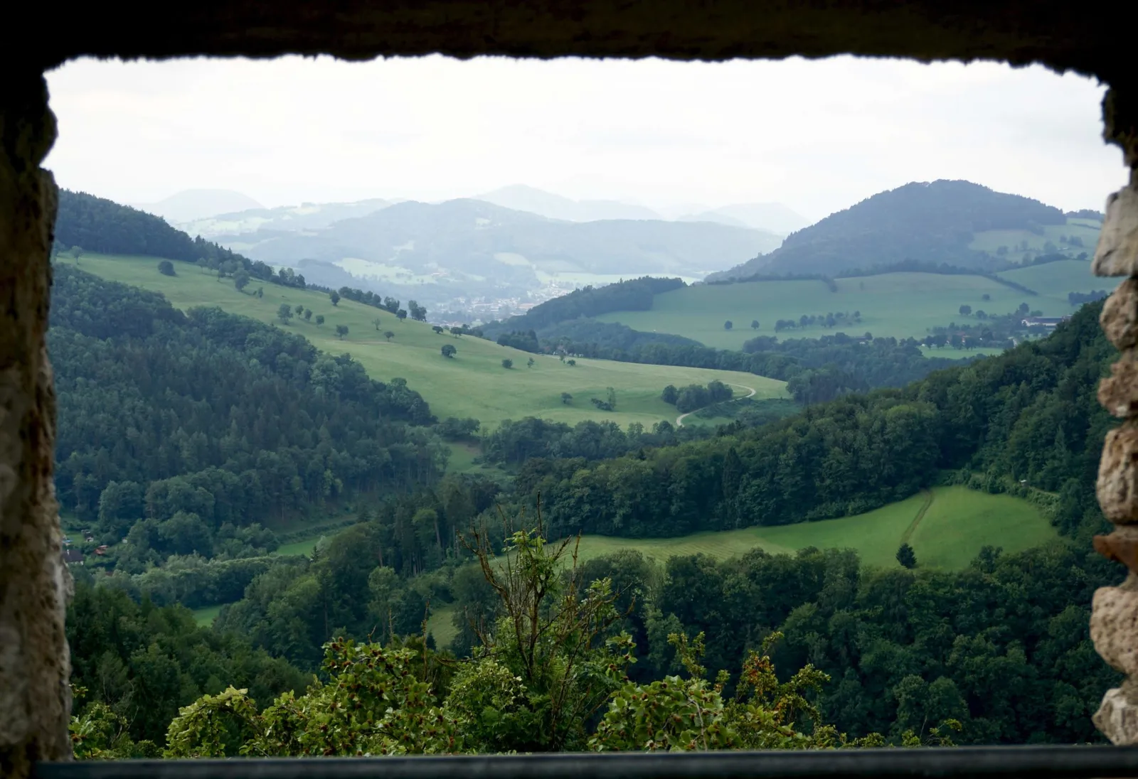
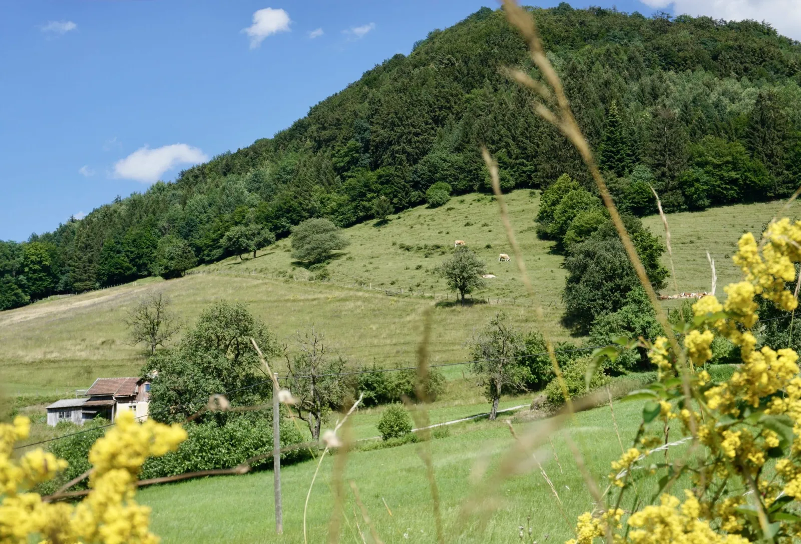
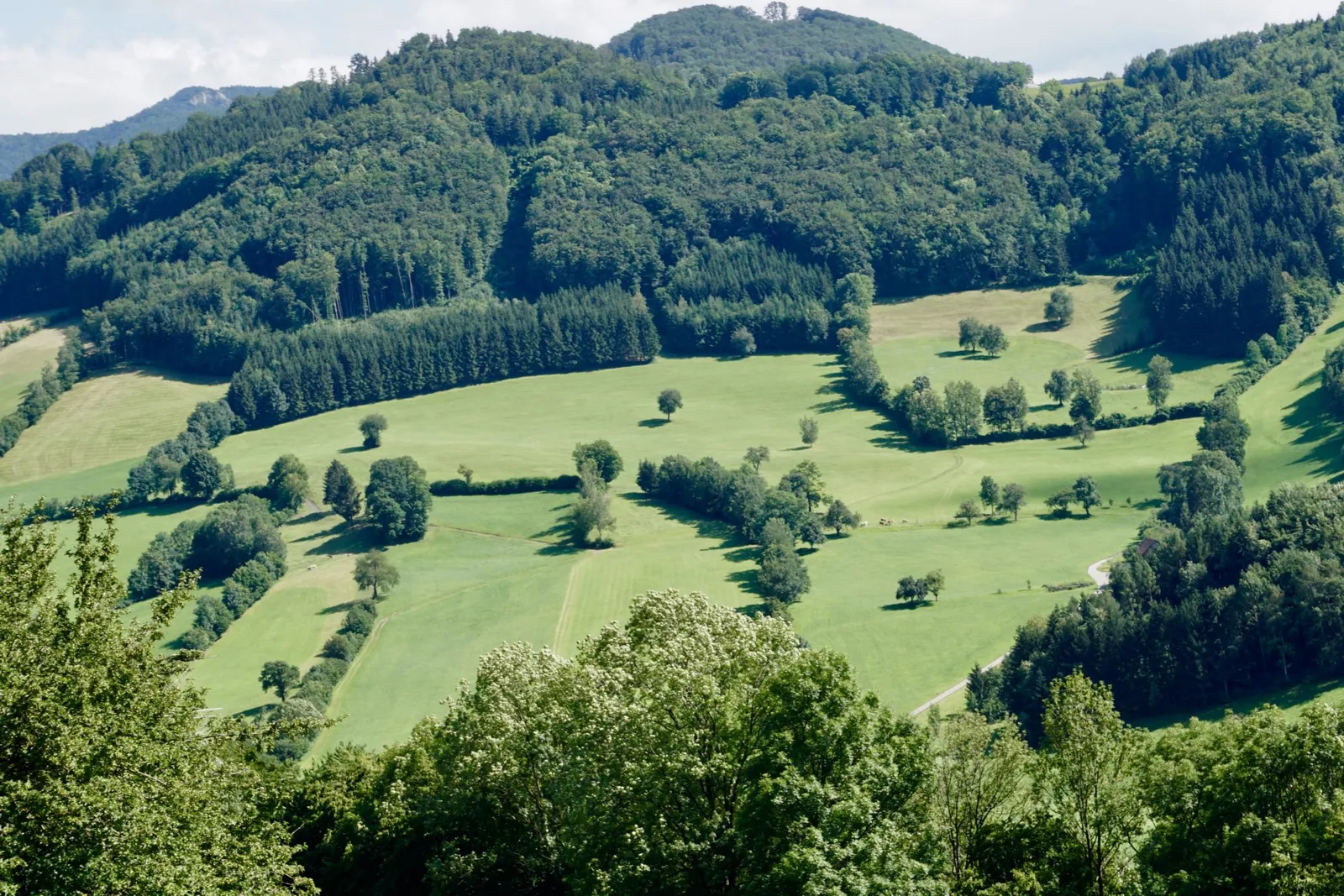
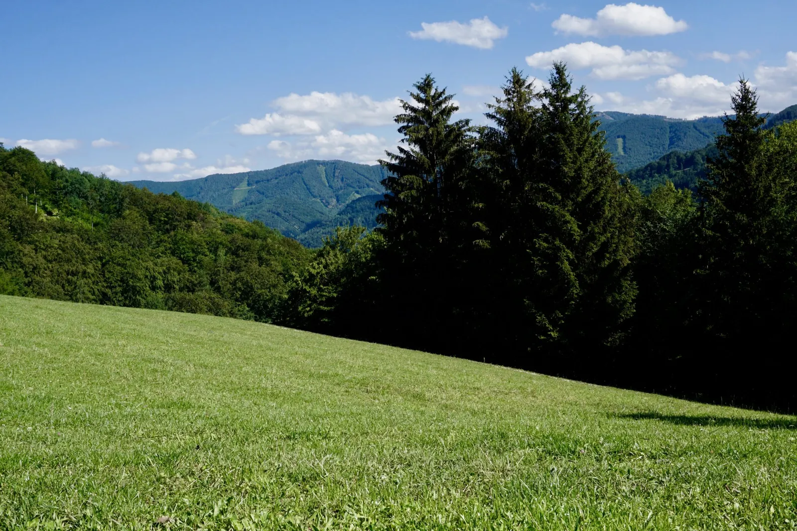
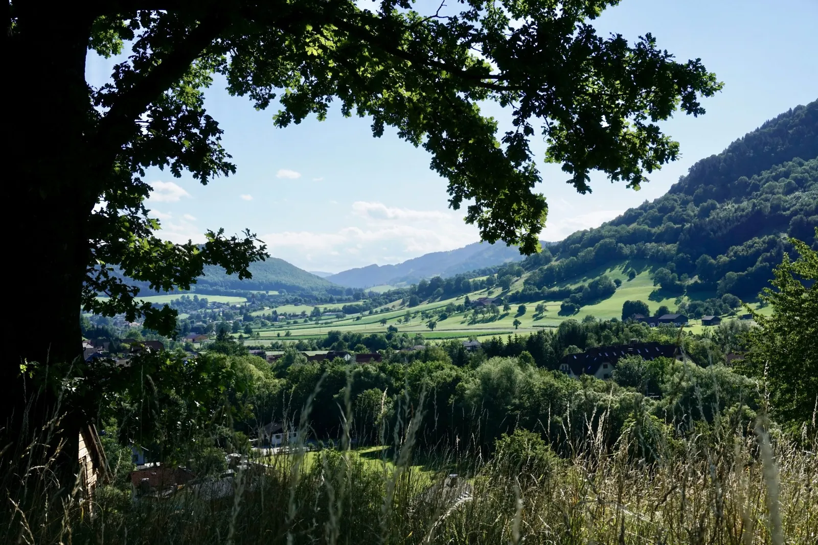
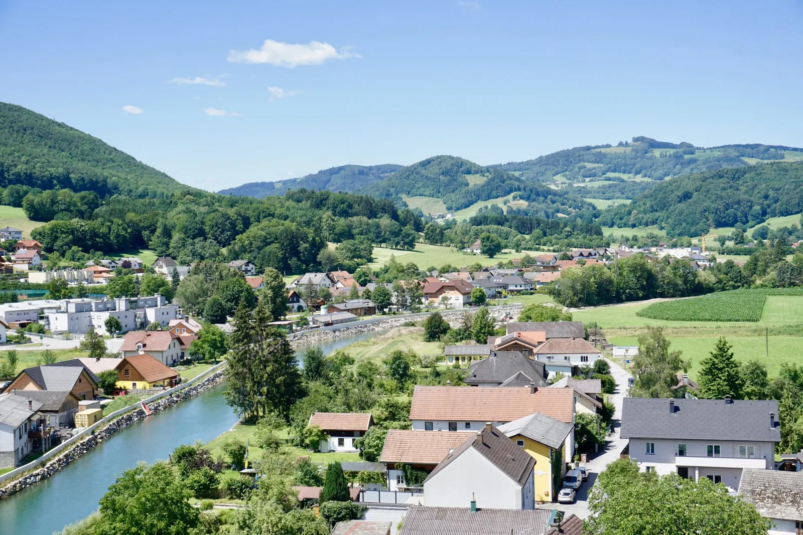
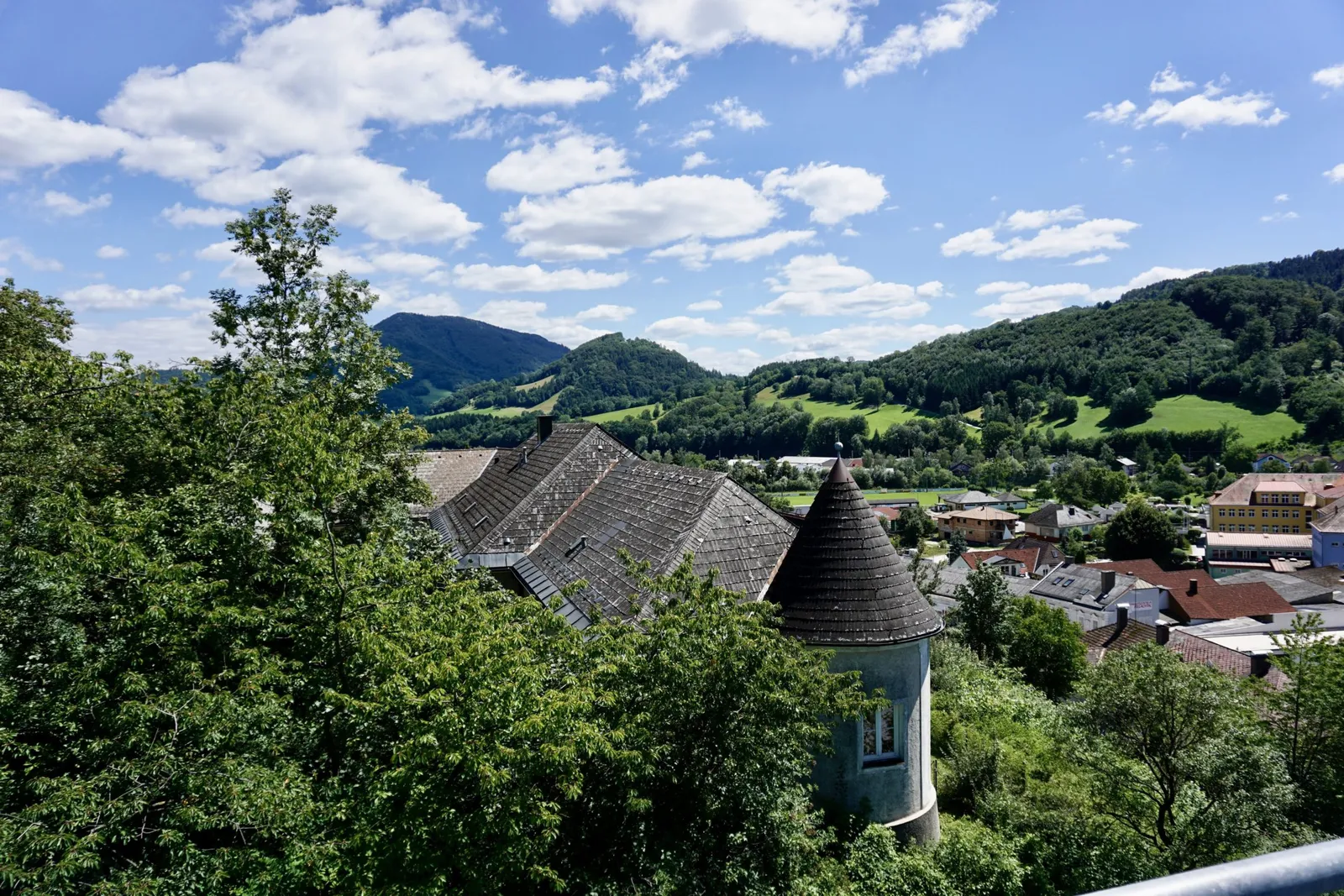
We head towards what remains of the castle and climb a metal staircase – carrying the furry ones – to reach the tower. Despite the hazy weather, the green Dirndltal beams up at us and we enjoy the view.
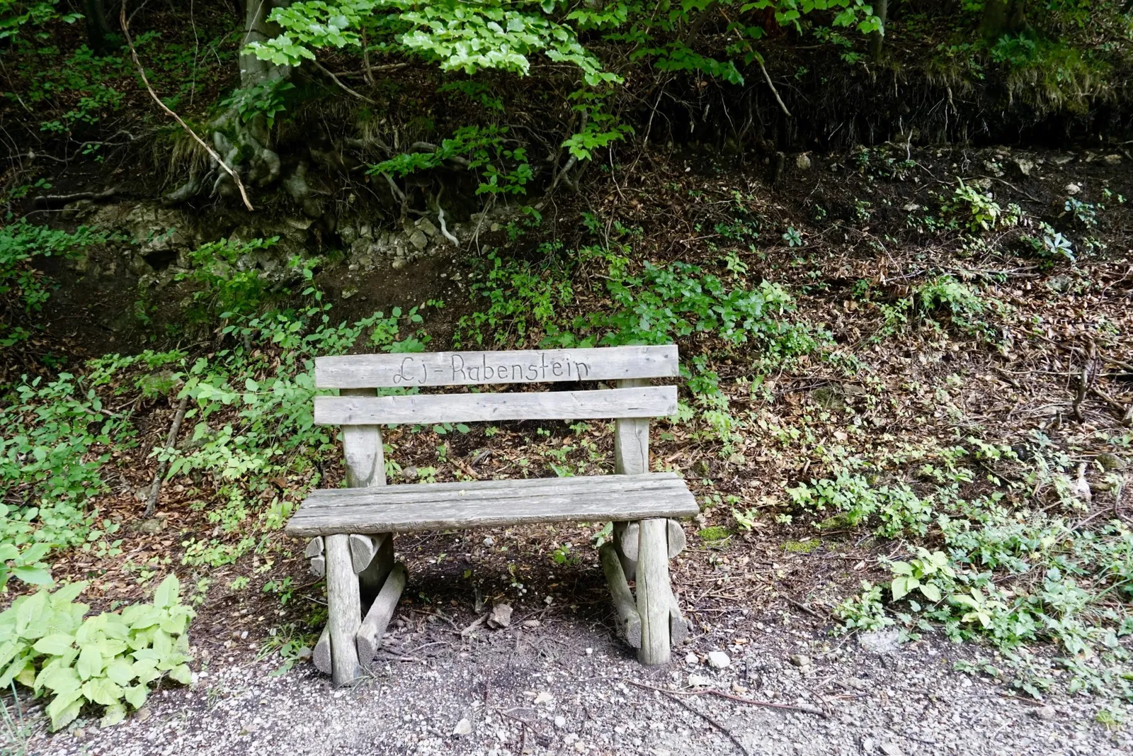
The "ascent" has made us thirsty. We take a little break on a bench in the green meadow. The two blond lads lap up some water, roll around in the cool grass and relax, just like us. The four of us Hundereise travellers set off back home in a very relaxed mood.
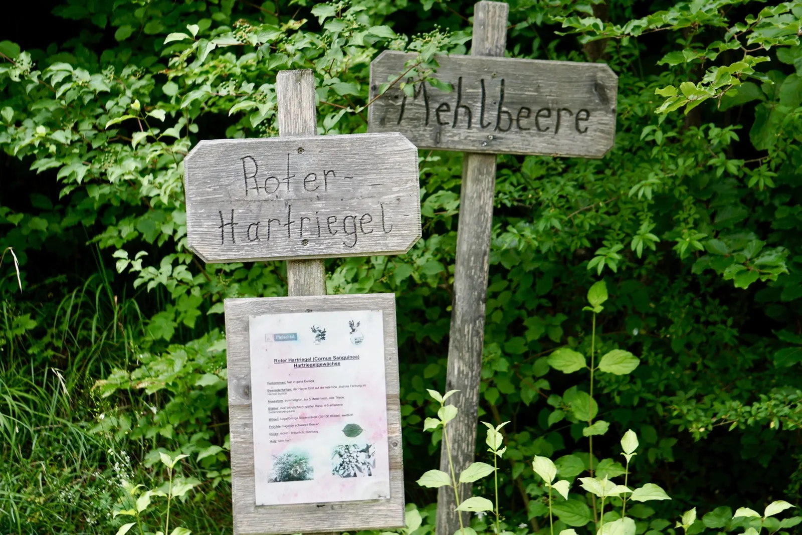
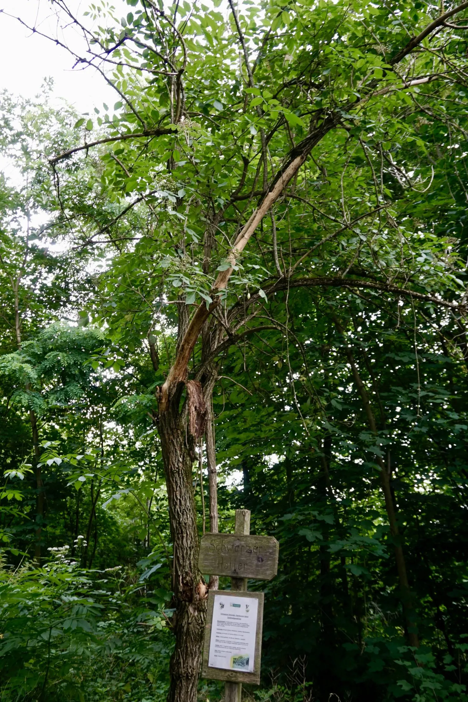
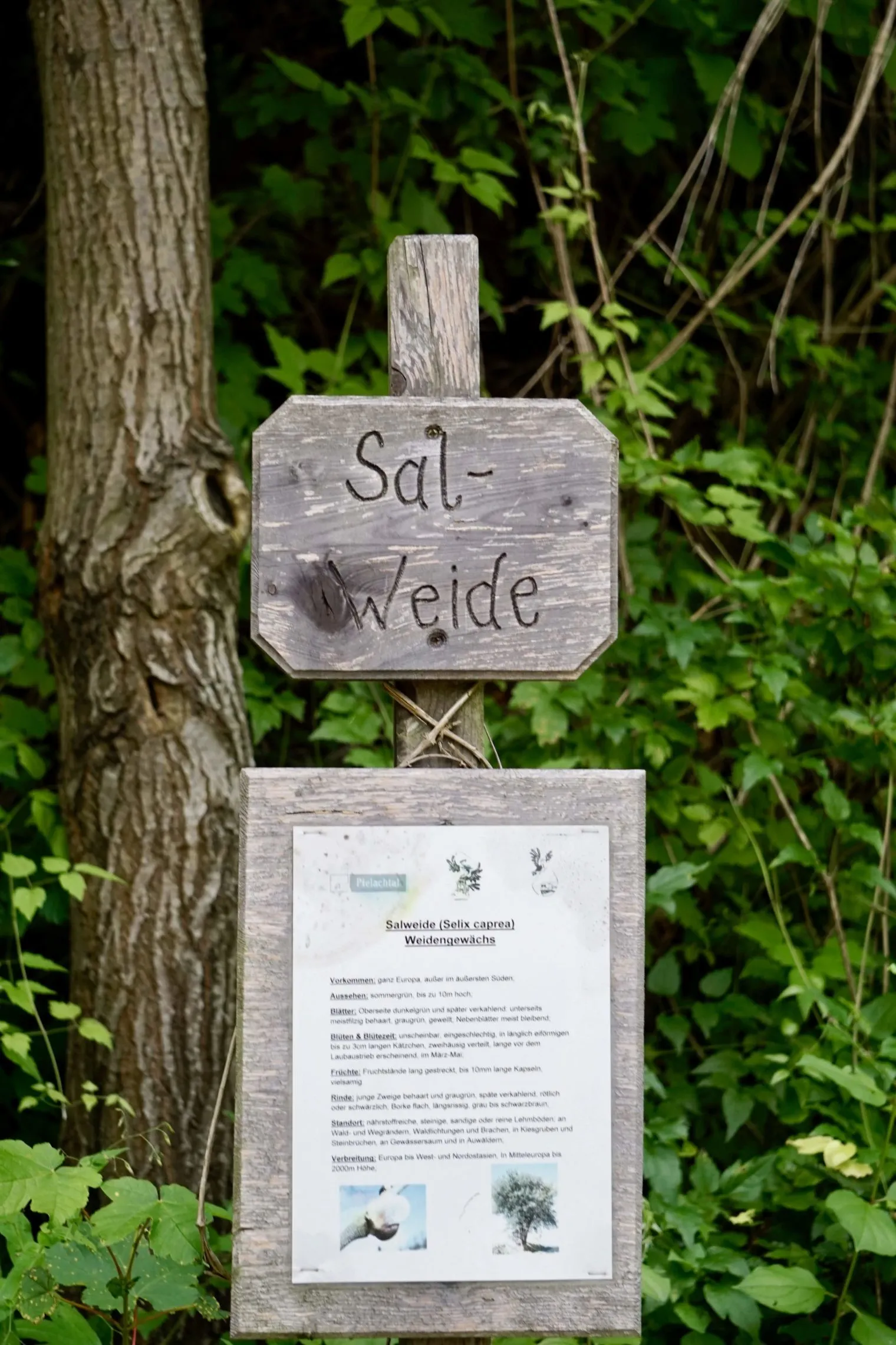
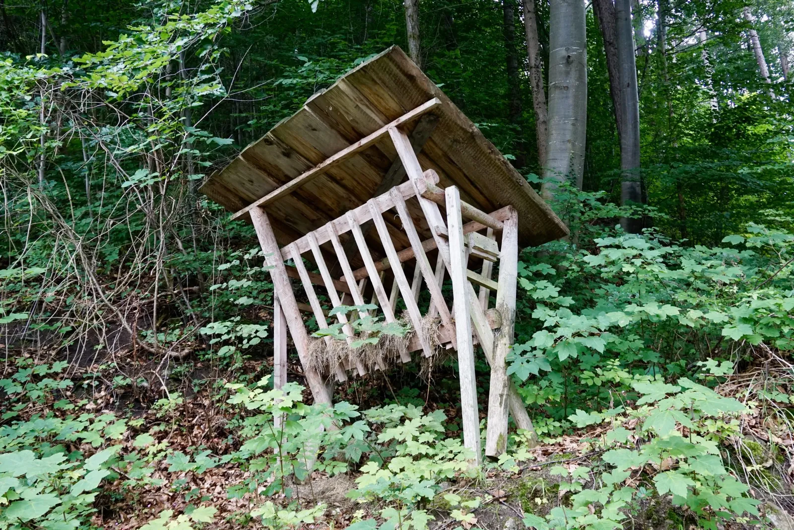
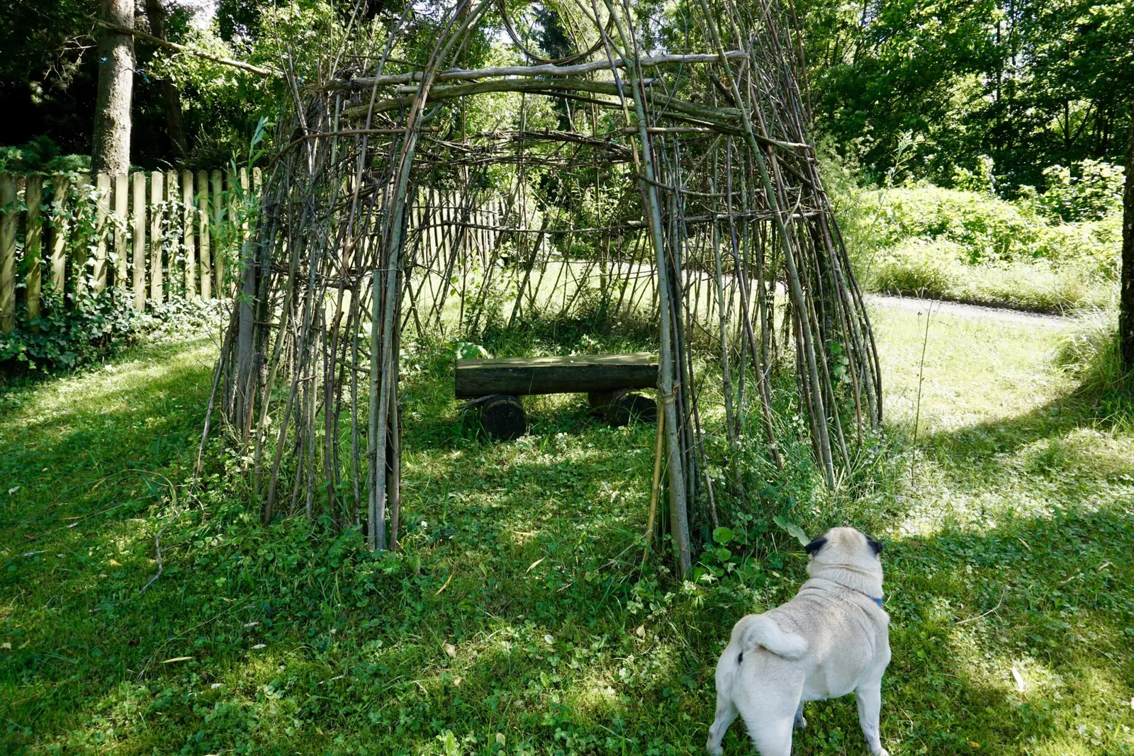
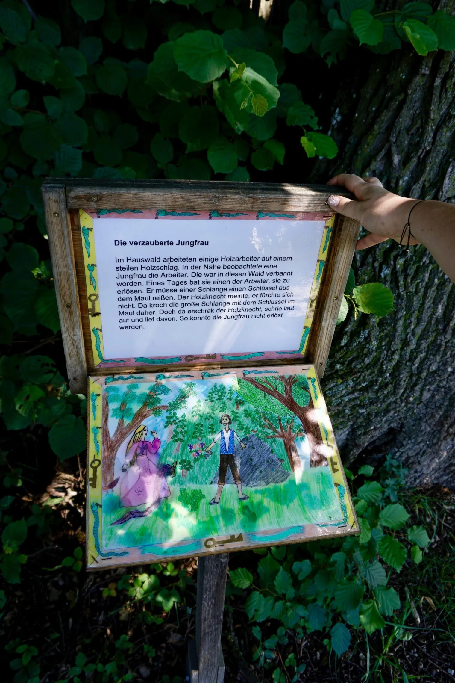
The forest track is easy going – not too steep and quite wide. The various stations of the Dirndlwaldlehrpfad encourage you to look at nature more closely.
Dog Facts for the "Burgruine Rabenstein" hike
Distance: 2.4 km
Duration including rest, play and photo breaks: 1:30 h, without: 0:55 h
Lowest point: 339 m
Highest point: 474 m
Steeper path through the forest, flatter along the forest track
Lead required, due to private land and mandatory signage
Der Geißbühel
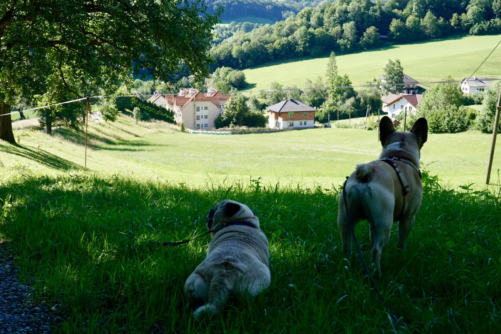
After a leisurely lunch break at home with supplies from the supermarket, we want to climb Warth's local mountain. In the late afternoon we stroll from the Mariazeller Bahn station, turning right up the road.
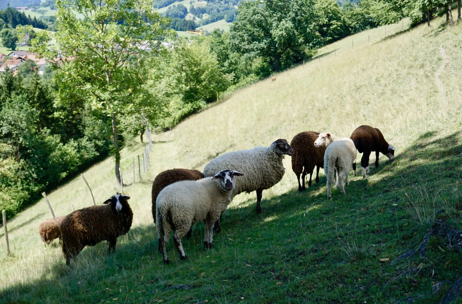
A few residential houses and scattered farmsteads mark the edge of the village. A man working in his garden with a chainsaw and the group of hikers from the morning come our way – those are the only two-legged creatures we encounter.
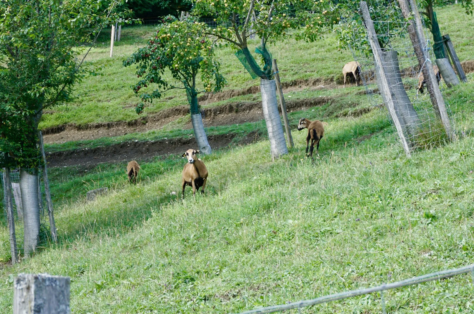
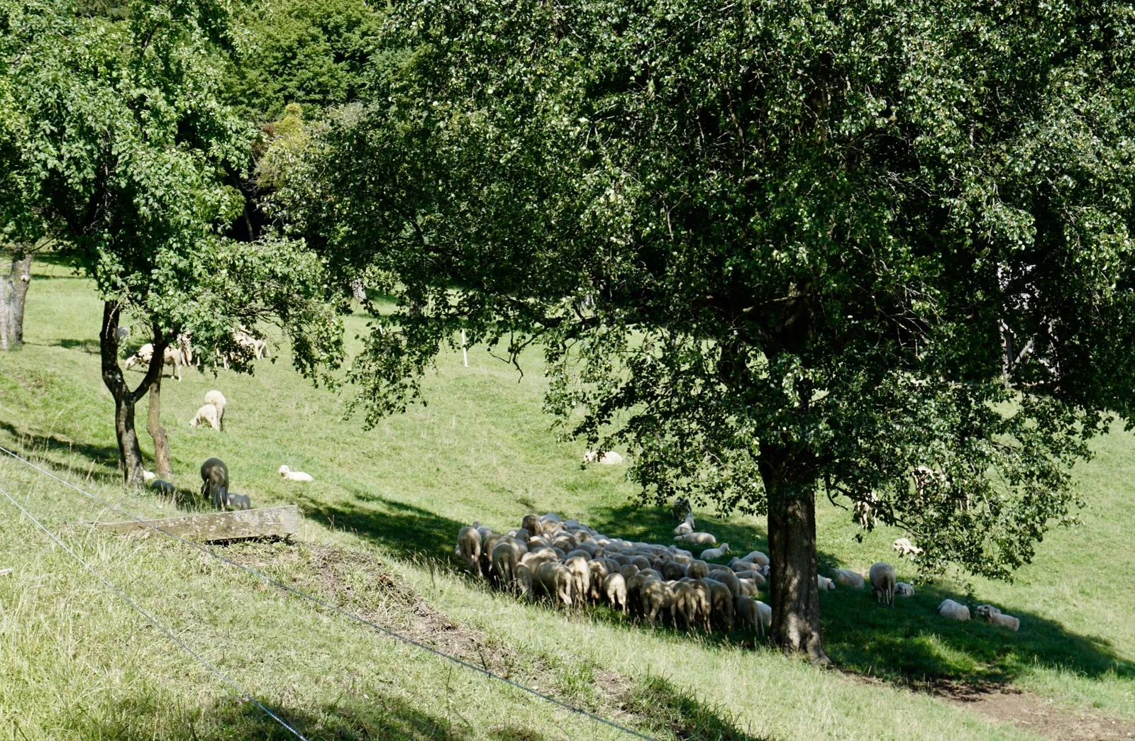
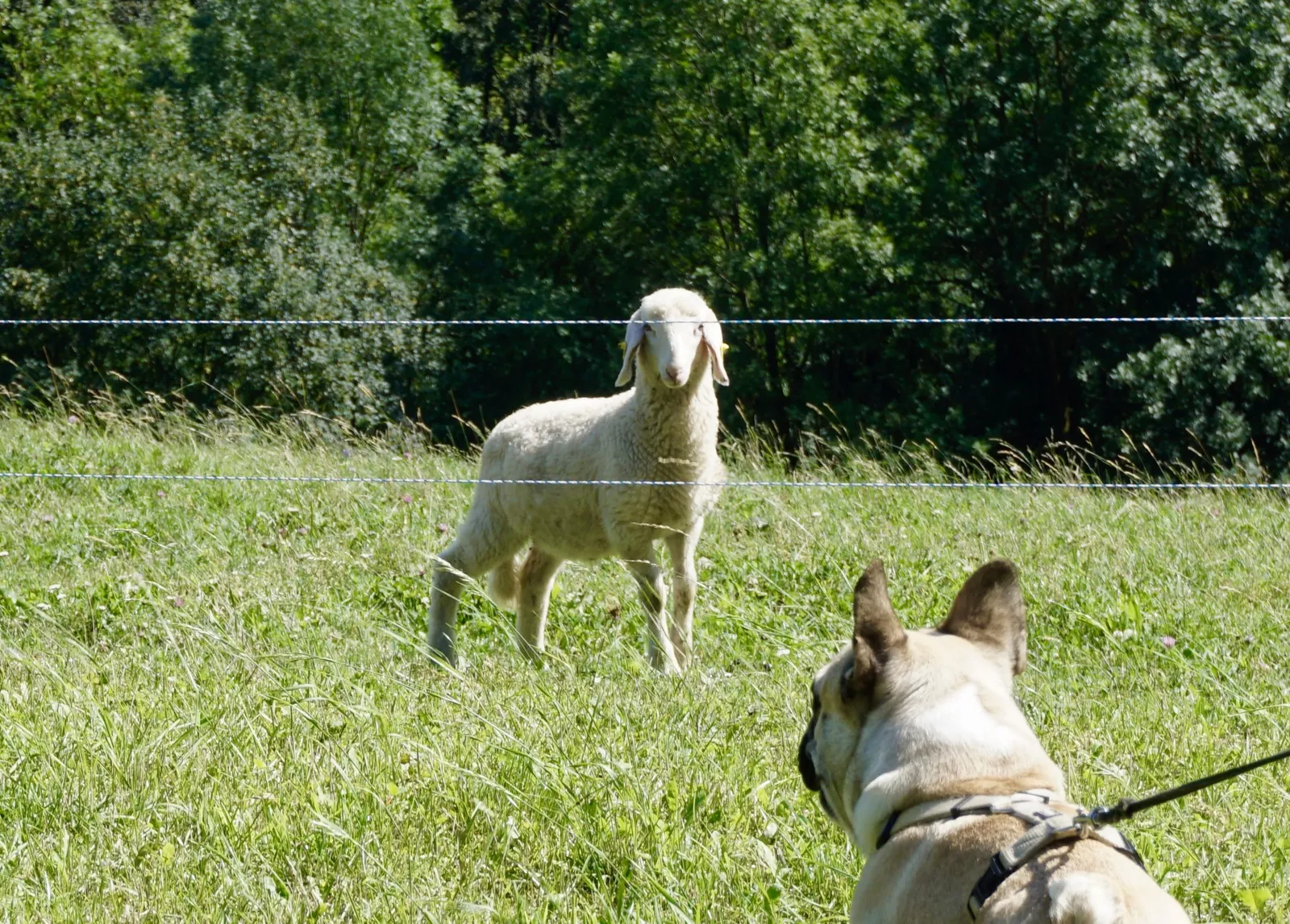
We greet each other cheerfully and from that point on we only meet cows, goats and sheep, all watching us curiously. Luckily all behind fences 😉 Aside from the pastures, we mostly hike along shady forest paths, taking regular drinking and rest breaks along the way.
As it's simply too warm for us despite everything, after all these impressions we decide to take a break in a meadow. We head back and wind down the evening in a relaxed way.
Dog Facts for the "Geißbühel" hike
We were motivated, but never made it to the summit
Distance: 4.4 km
Duration including rest, drink and photo breaks: 2:00 h, without: 1:30 h
Lowest point: 357 m
Highest point: 542 m
Mostly shady forest path, partly in the sun alongside the grazing animals
Lead required, due to grazing animals (all fenced in)
Skywalk am Kirchenberg
On Sunday we raid the Steinschalerhof's breakfast buffet once more. The answer to our question about check-out makes me happy: since no new guests are arriving until Monday, we're welcome to use the pond house for as long as we like.
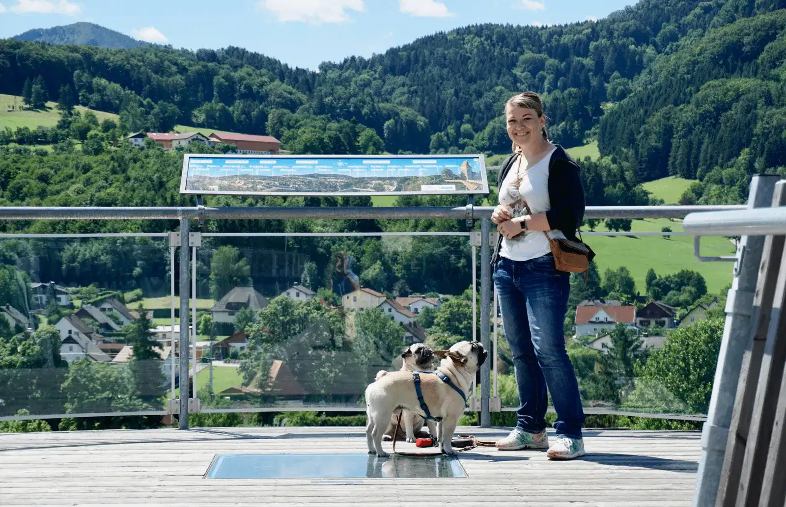
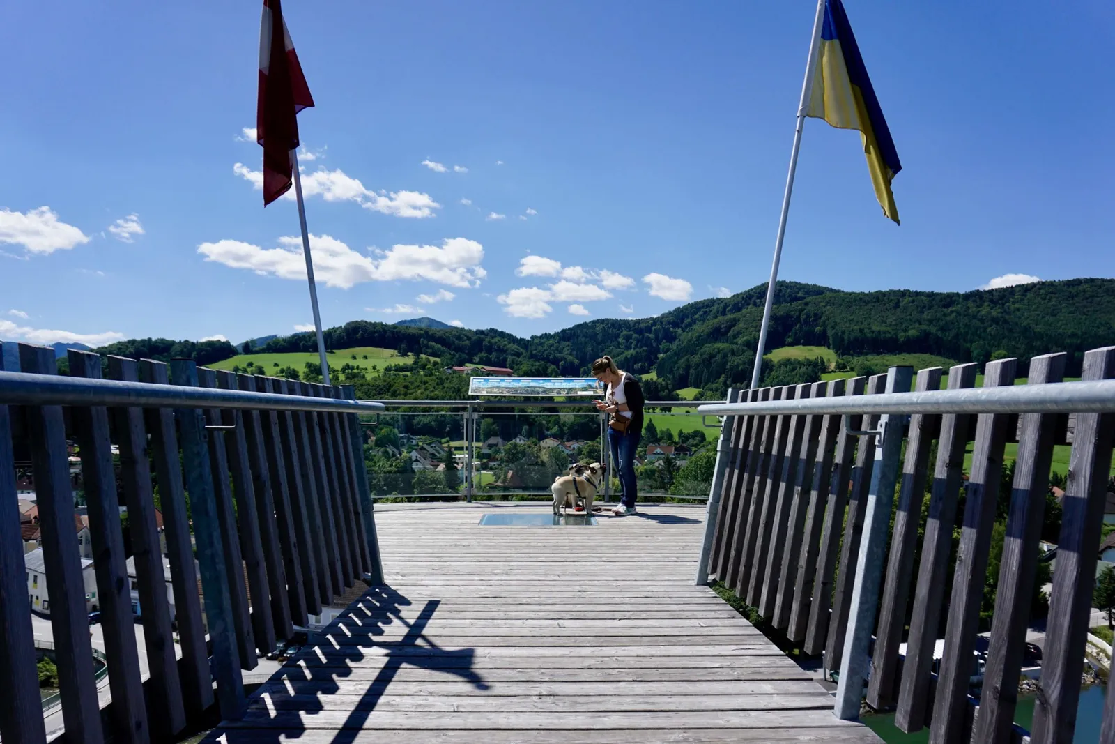
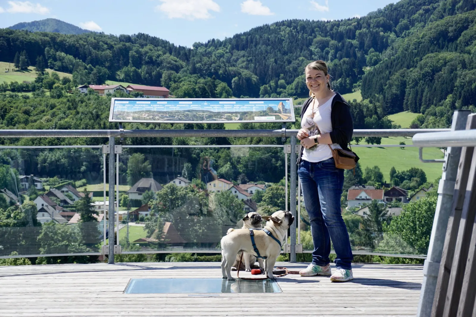
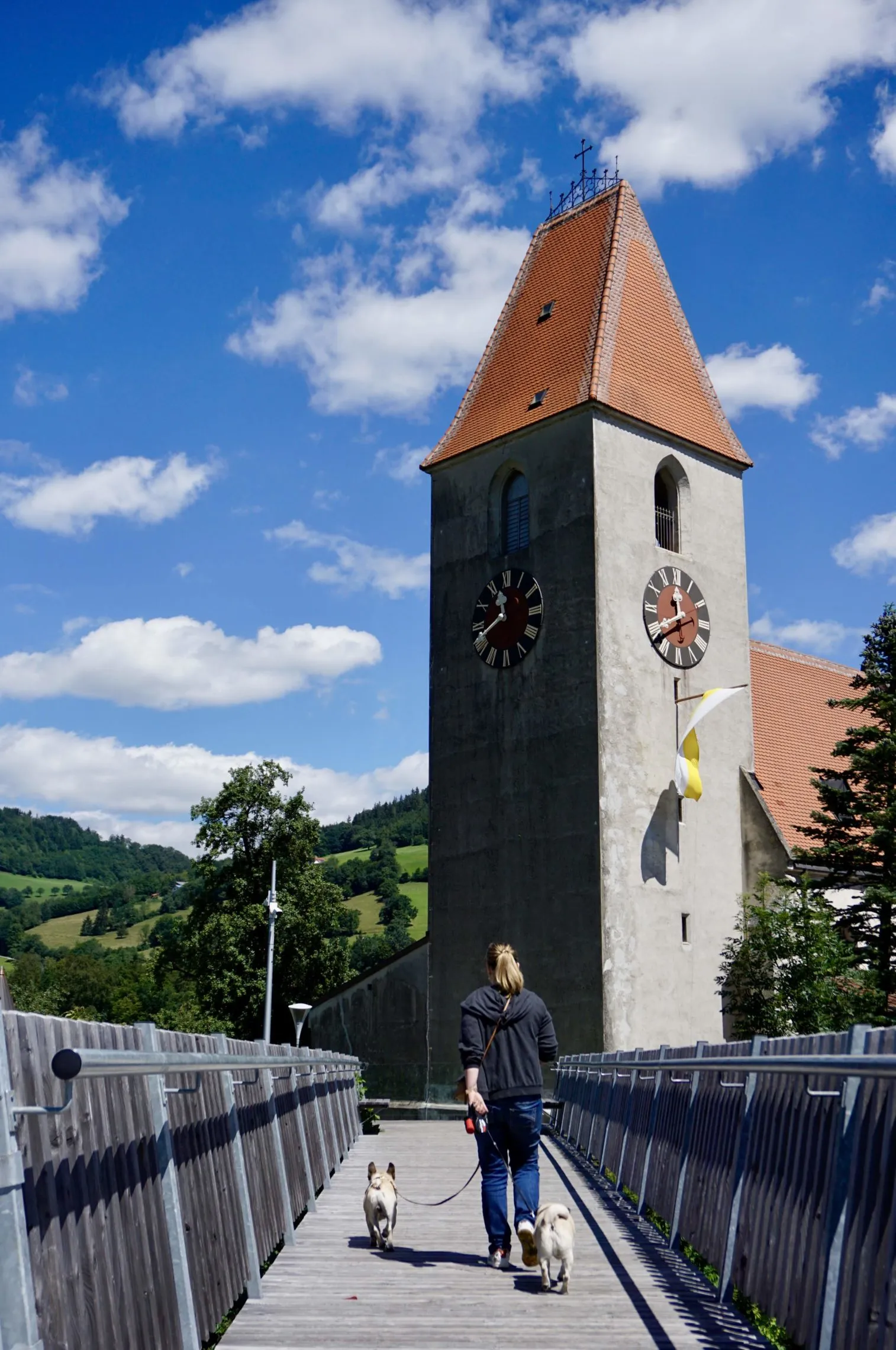
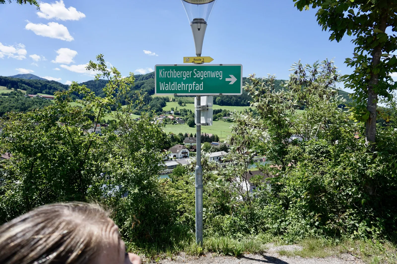
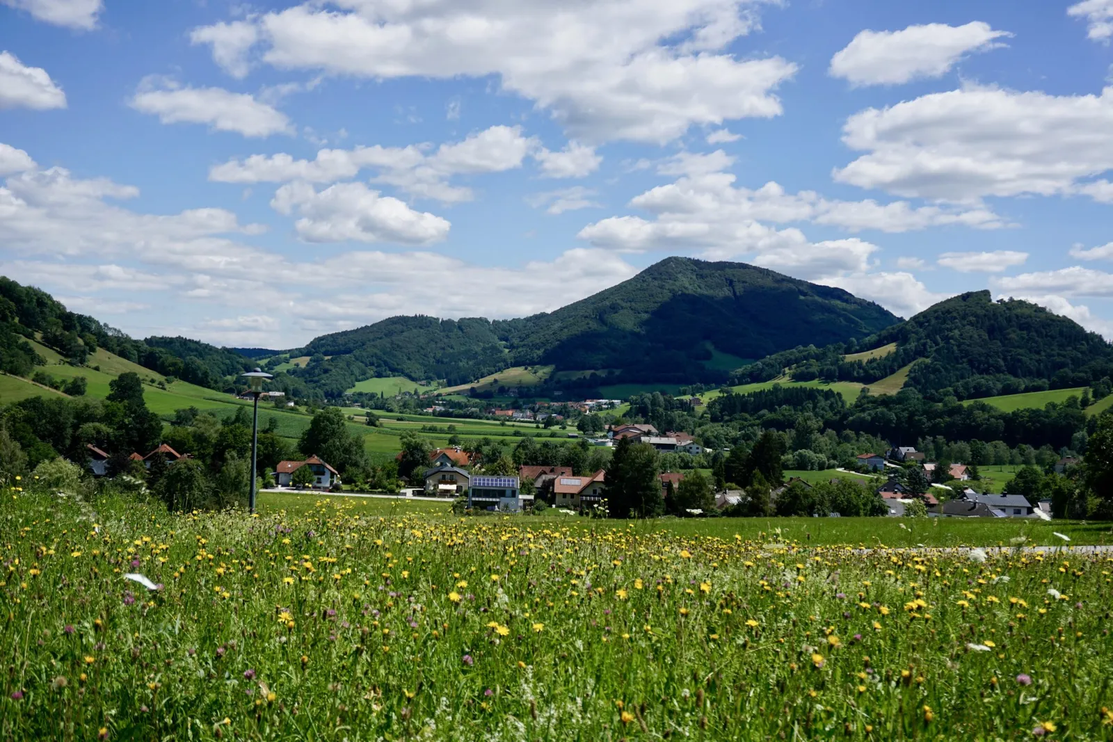
So we take it easy and enjoy the veranda and the pond a little longer before driving to Kirchberg an der Pielach to visit the Skywalk. This viewing platform, built four years ago, offers a spectacular view over the Dirndltal.
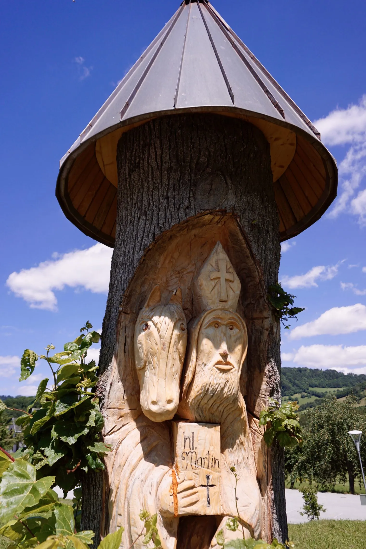
We park down in the village centre and stroll through a little alley towards the church, where the Skywalk awaits. Murphy & Vincent bravely join me at the front and gaze out over the countryside together with me. This is also where the Kirchberger Sagenweg begins, along with another forest nature trail.
Ötschergräben
The Ötschergräben gorges are often called the "Grand Canyon of Austria" thanks to their rugged cliffs, unique ravine landscape and fascinating waterfalls, offering a truly one-of-a-kind nature experience. From the Pielachtal you can reach them either by car (approx. 50 min.) or by the Mariazellerbahn (1 h 10 min.) to Wienerbruck, from where most of the trails begin.
Mariazell
This pilgrimage site, known for around 860 years, lies in the northern part of Upper Styria, not far from the Lower Austrian border. The Basilica draws pilgrims from near and far time and again, arriving via all manner of routes. Pilgrimages on foot (per piedes) are very popular in Austria, but the Mariazellerbahn is a beloved option too.
Das Dirndltal
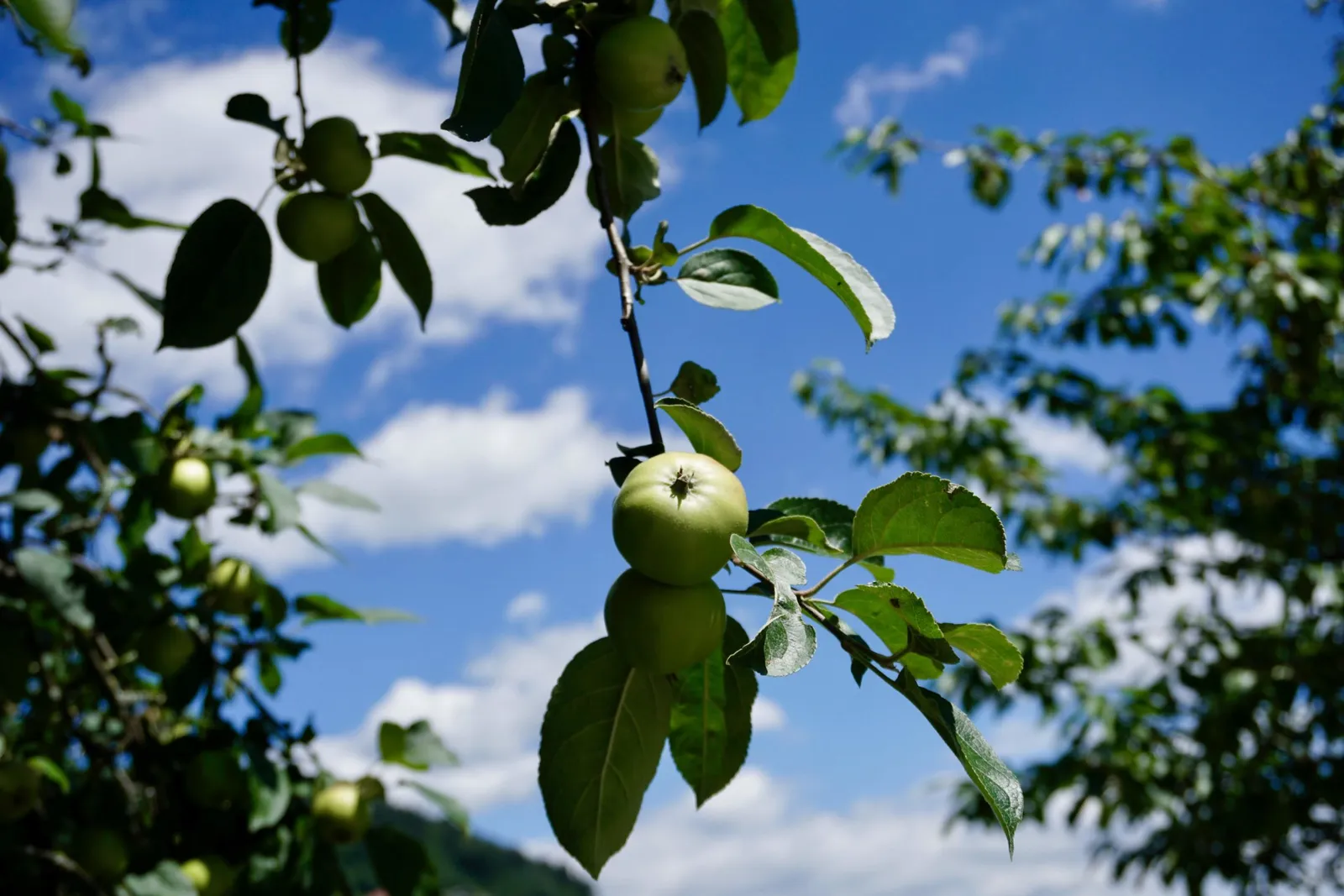
The Pielachtal is also known as the Dirndltal, because the cornelian cherry (Dirndl) grows and thrives so abundantly in this cultural landscape. You can read all about what Dirndl means and what the fruit is used for in Part 1.
We will definitely be back in this part of the Mostviertel — the surroundings were wonderfully restorative and the entire stay was very dog-friendly.