The mystical Waldviertel has plenty to offer dog owners. In this post we already introduced you to the beautiful Schlosshotel Rosenau as our accommodation. Today we're sharing 3 magical day-trip destinations that you can combine with wonderful hikes.
First we visit the Ottensteiner Stausee. Then comes the Mandelstein on the Czech border, and finally the Weltkugel near Groß Gerungs.
Our 1st Day Trip
The Ottensteiner Stausee
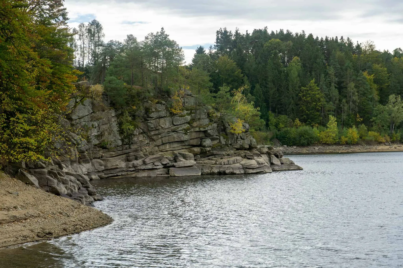
As you can read here, the natural reservoirs in the heart of the Waldviertel entered the audience-vote show "9 Plätze – 9 Schätze" representing Lower Austria. They came third in the overall ranking. Not just the Ottensteiner Stausee, but also the two smaller ones — Dobra and Thurnberg — are part of the group.
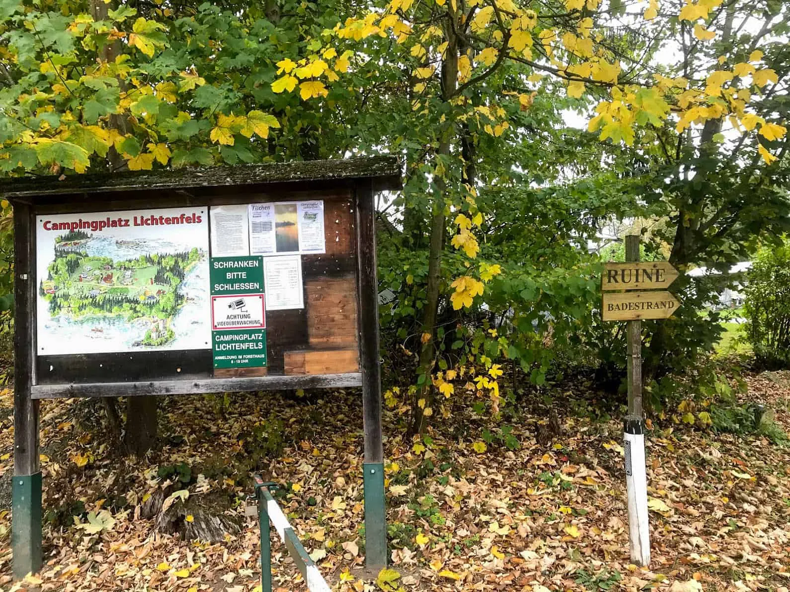
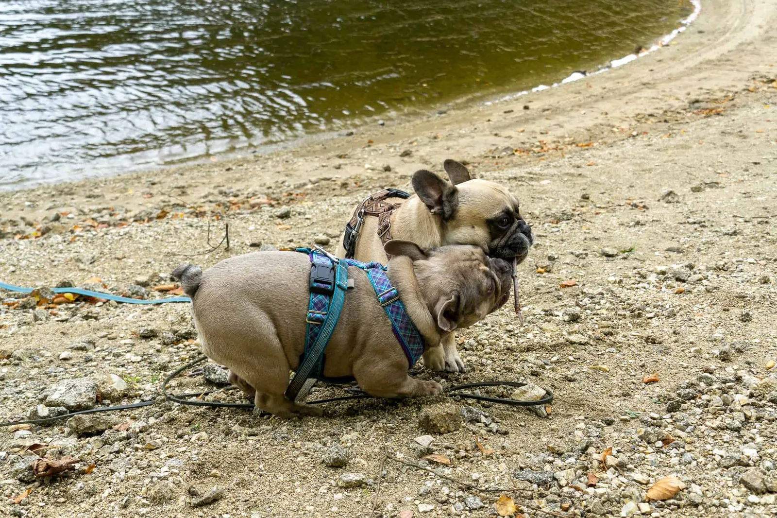
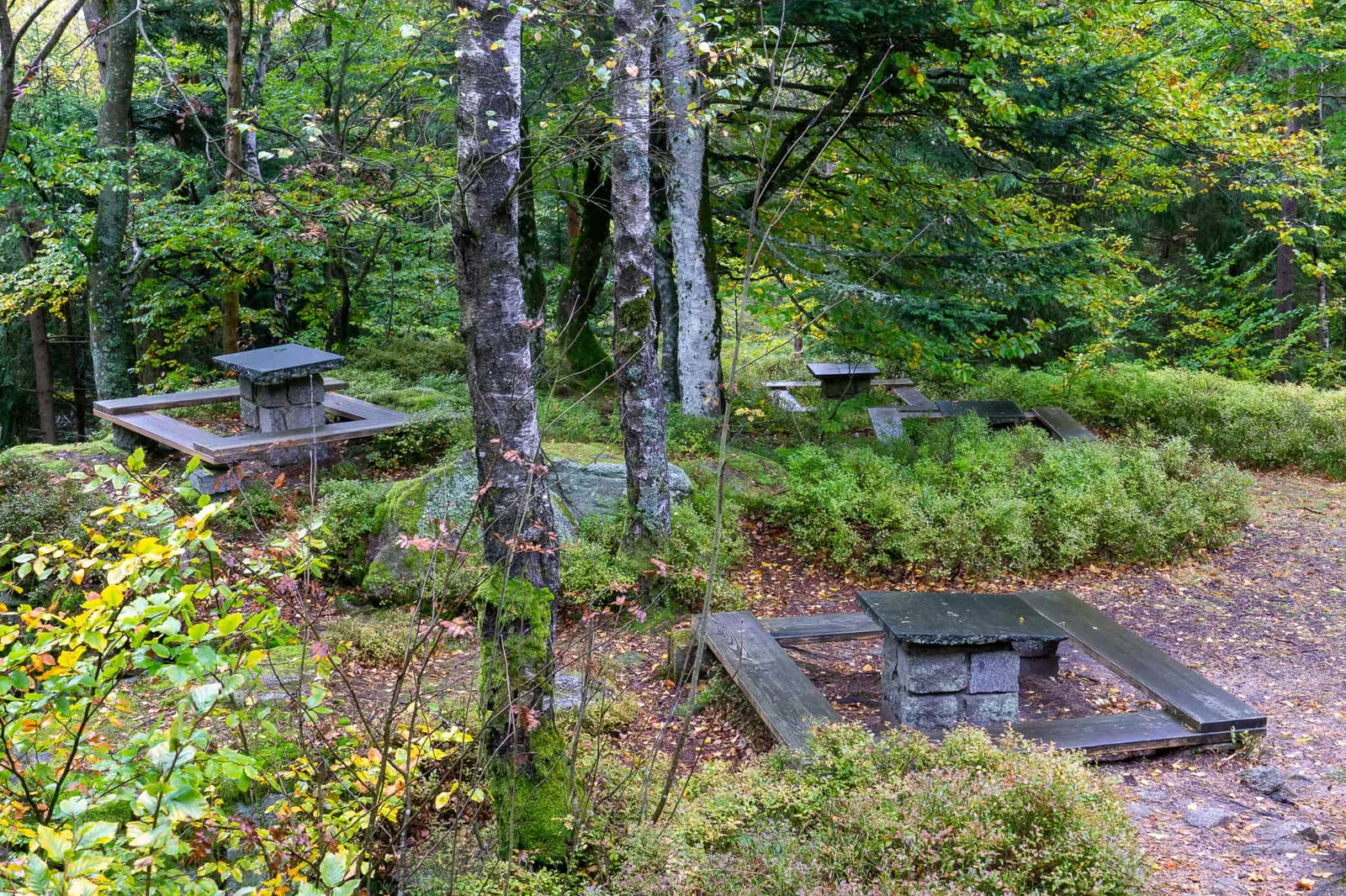
My favourite man, the 2 woofs and I park at the Campingplatz Lichtenfels after just a 20-minute drive. Since we're the only car in the car park, the ruin is all ours today. Wonderful! And so it is. We stroll through the campsite grounds until they merge into a path carpeted with autumn leaves. Before the four of us explore the ruin, we veer right and descend a broad flight of steps to the lake.
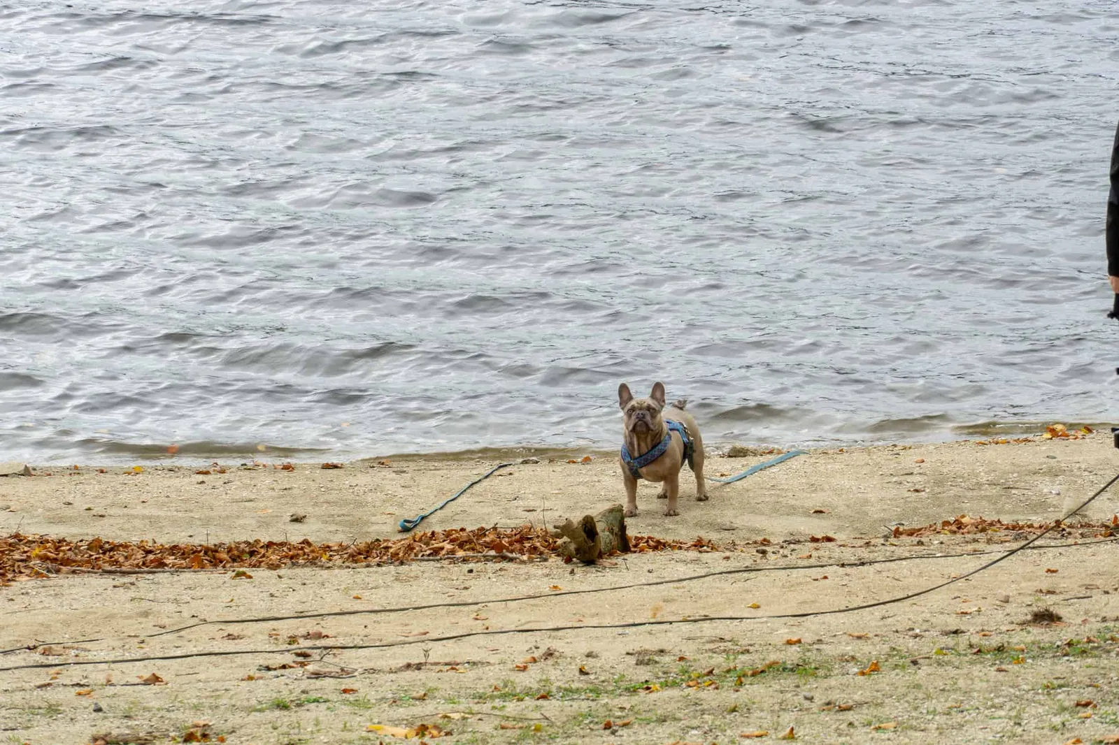
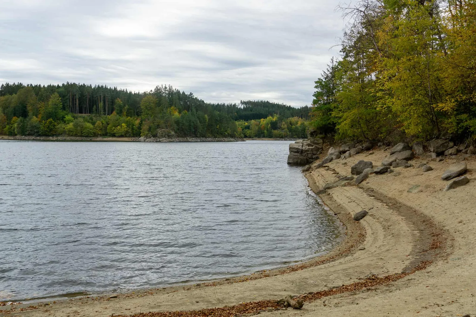
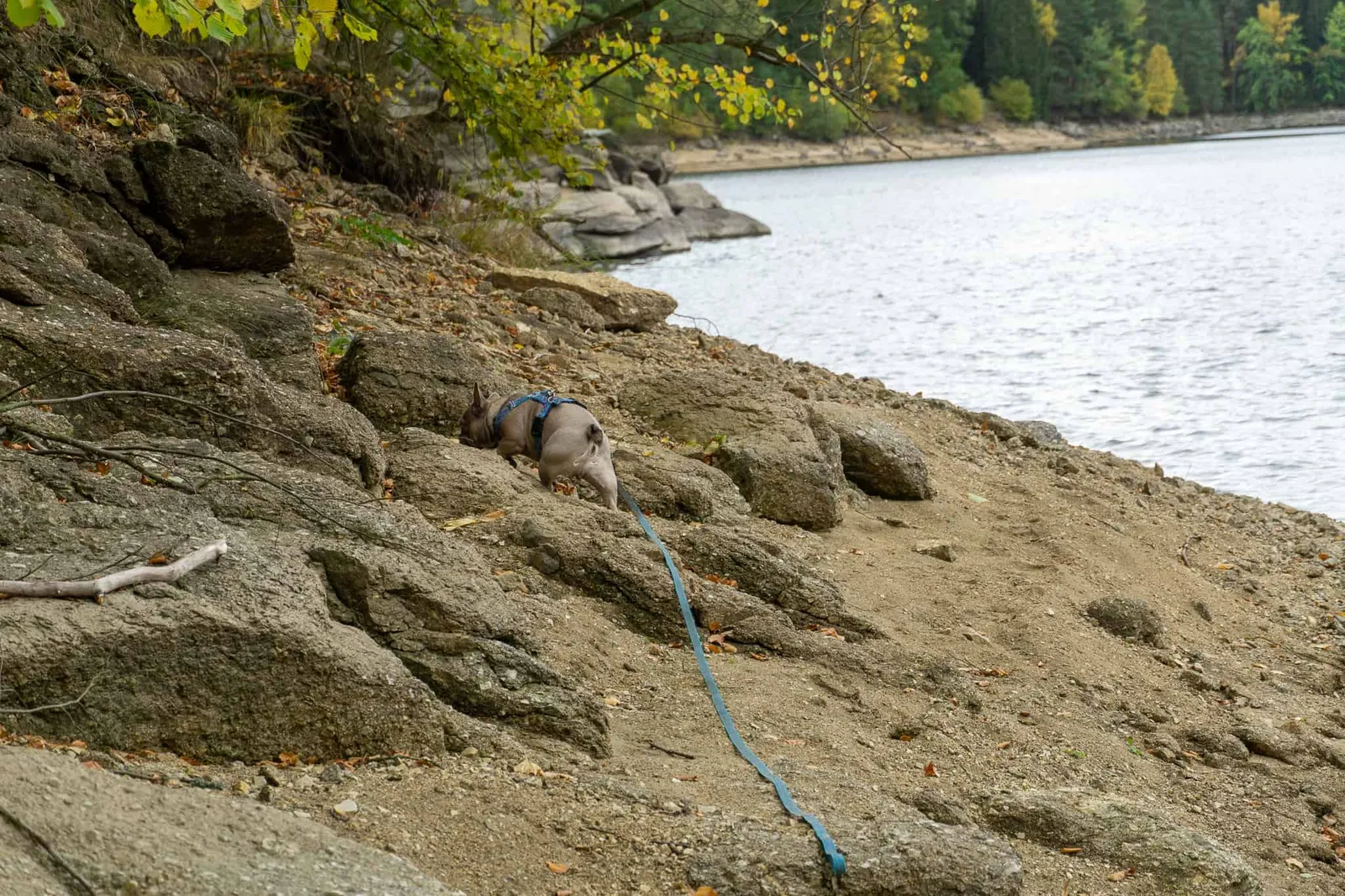
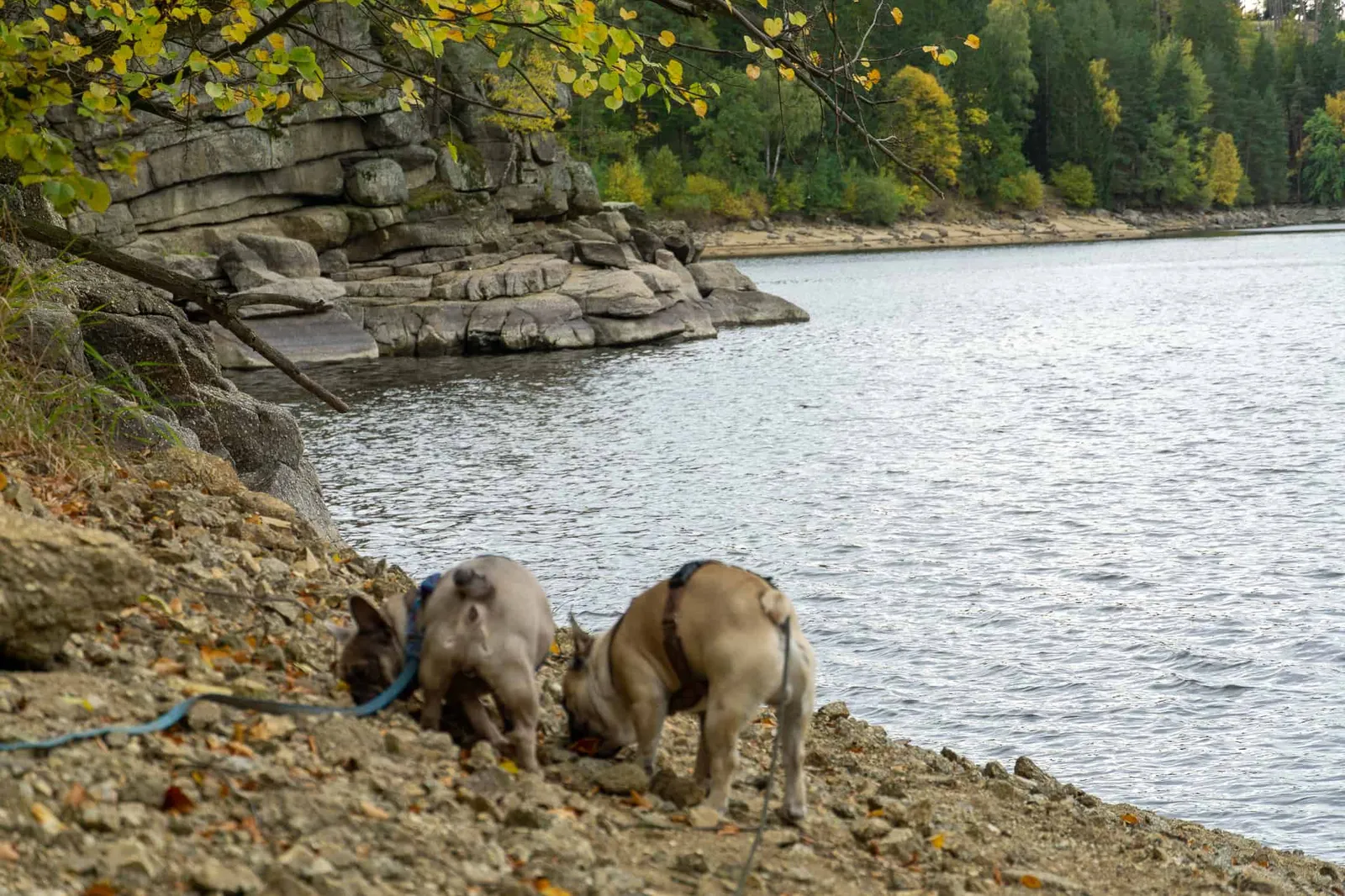
The reservoir fully earns its nickname "the Scandinavia of the Waldviertel" with its fjord-like inlets. Even though it's already too chilly for a splash, Murphy and Archie inspect the deserted beach with great thoroughness. Once we've soaked up the atmosphere to our hearts' content, we move on.
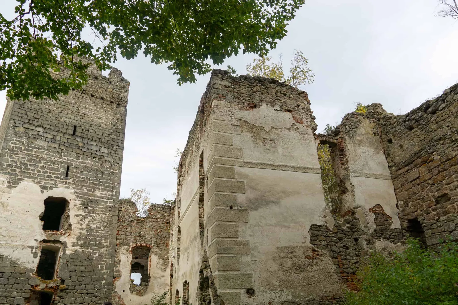
The Ruine Lichtenfels
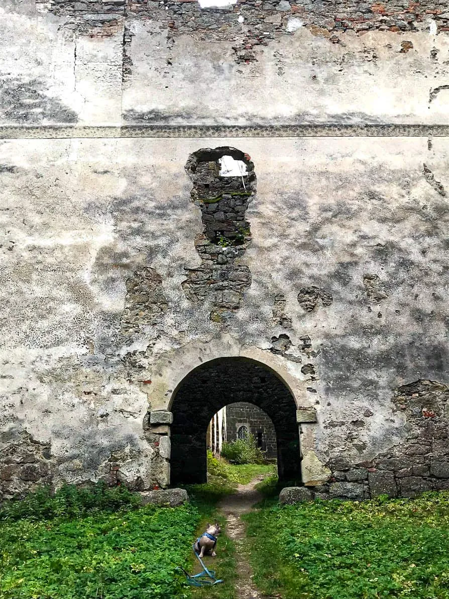
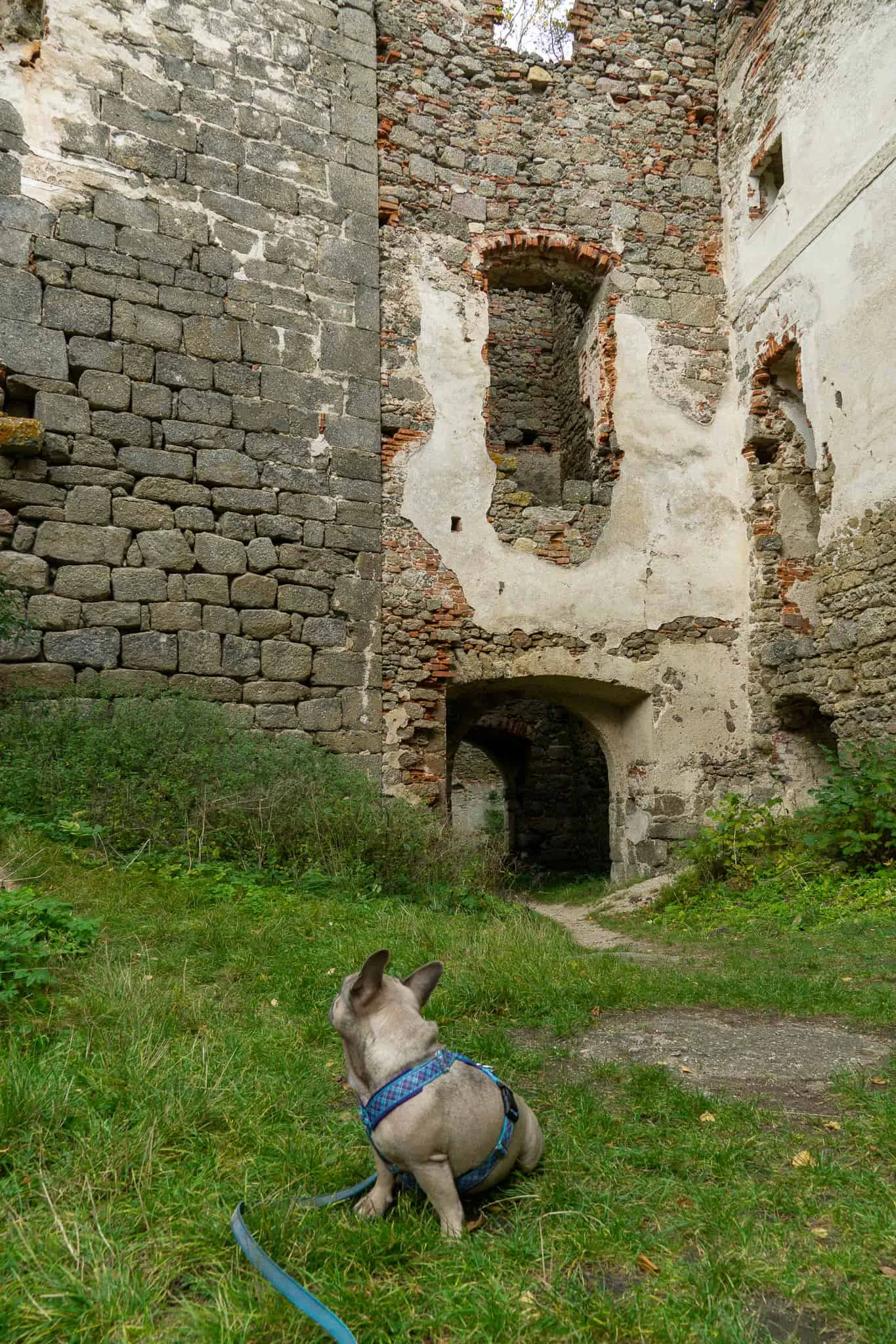
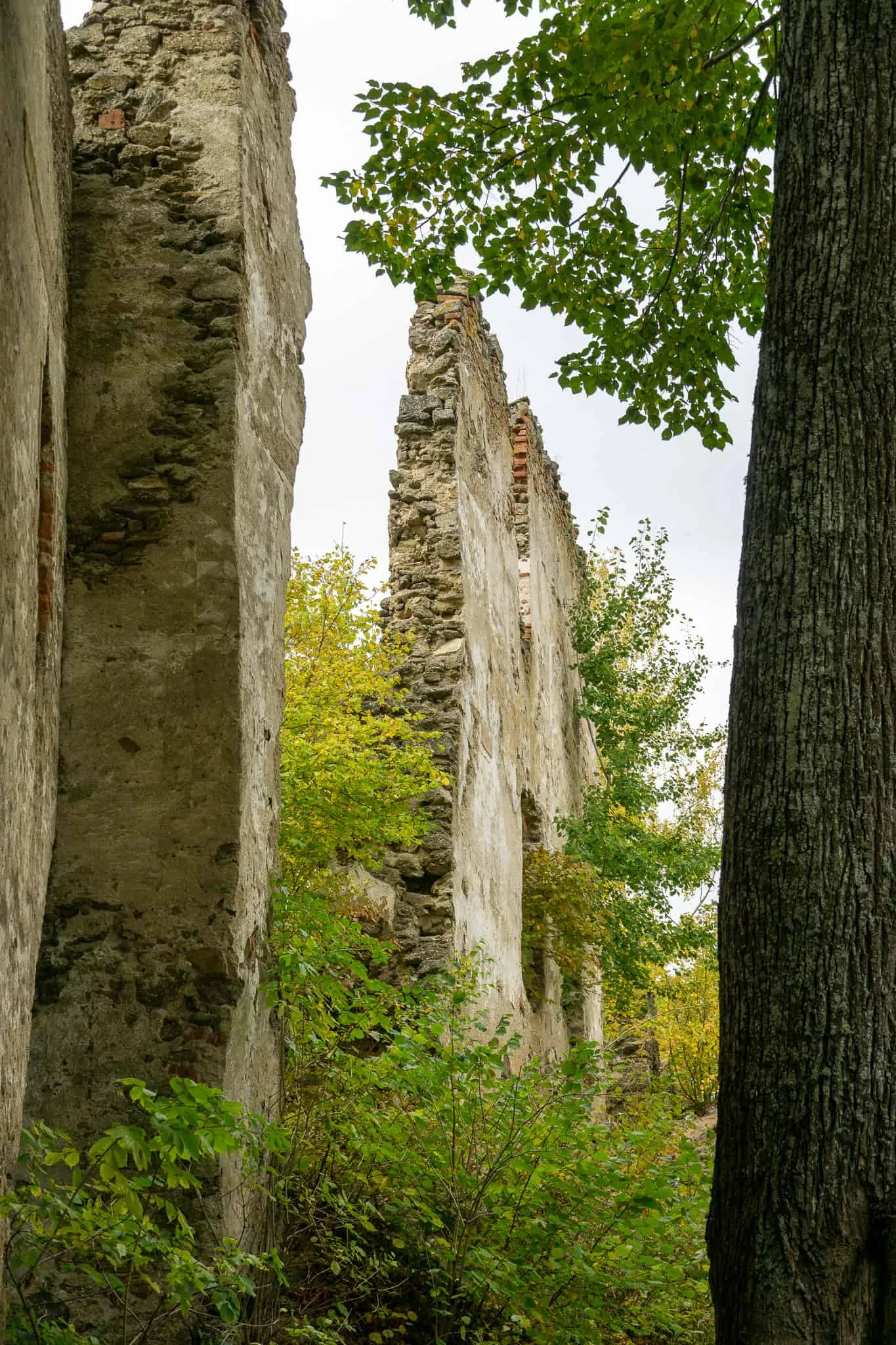
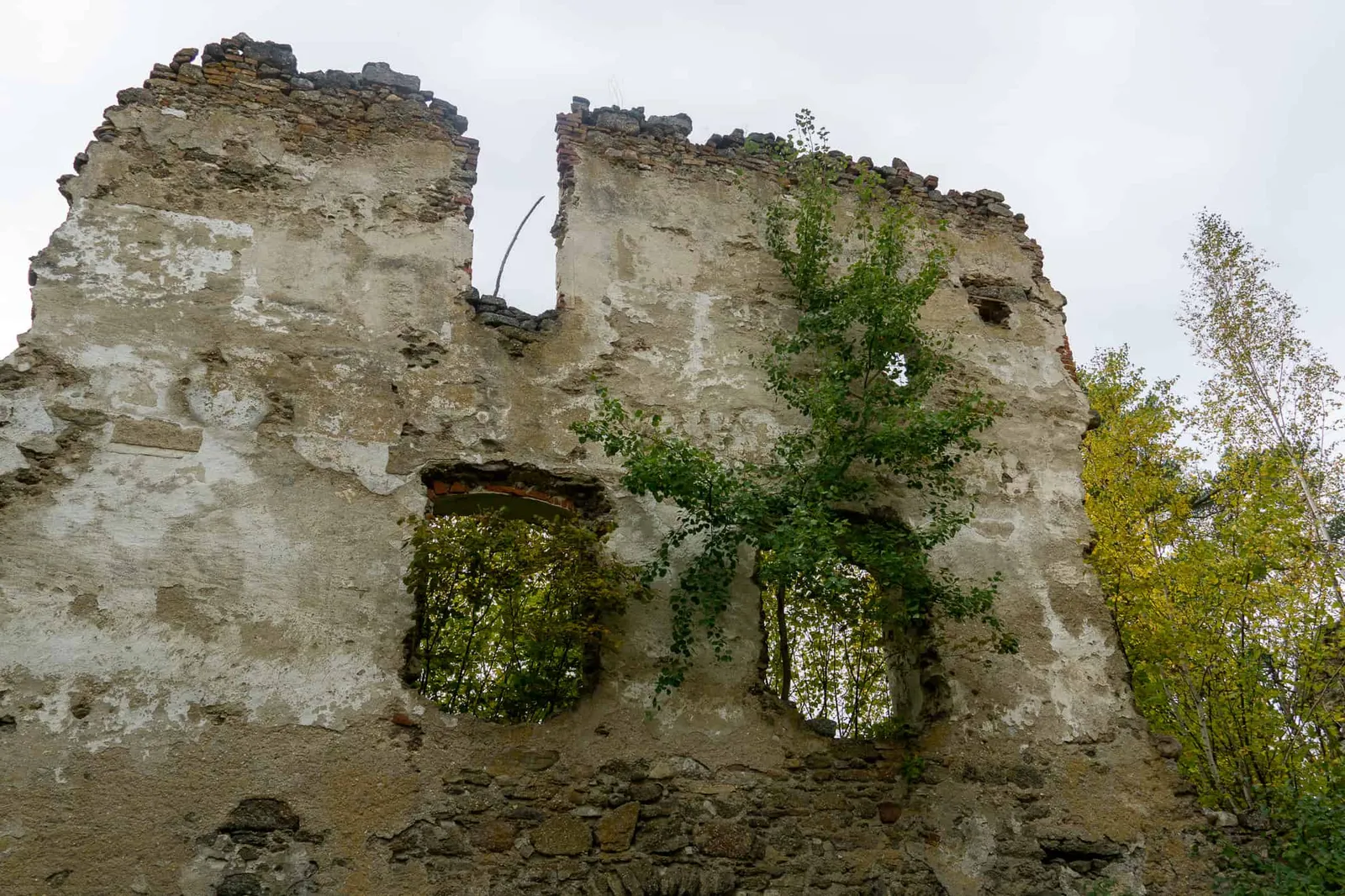
We cross the wooden bridge and enter the former hilltop fortress. It was built around 1150 on a wooded rocky outcrop above the left bank of the Kamp. Passing through 3 gateways, we eventually reach the inner courtyard. Only a single tower still has a roof — that's where the Chapel of Saint Paul is housed. Right up until last century it was a popular pilgrimage destination.
Watch the video of the ruin here
The circular trail around the ruin
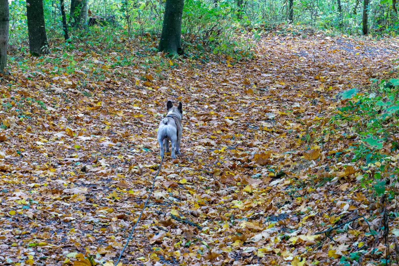
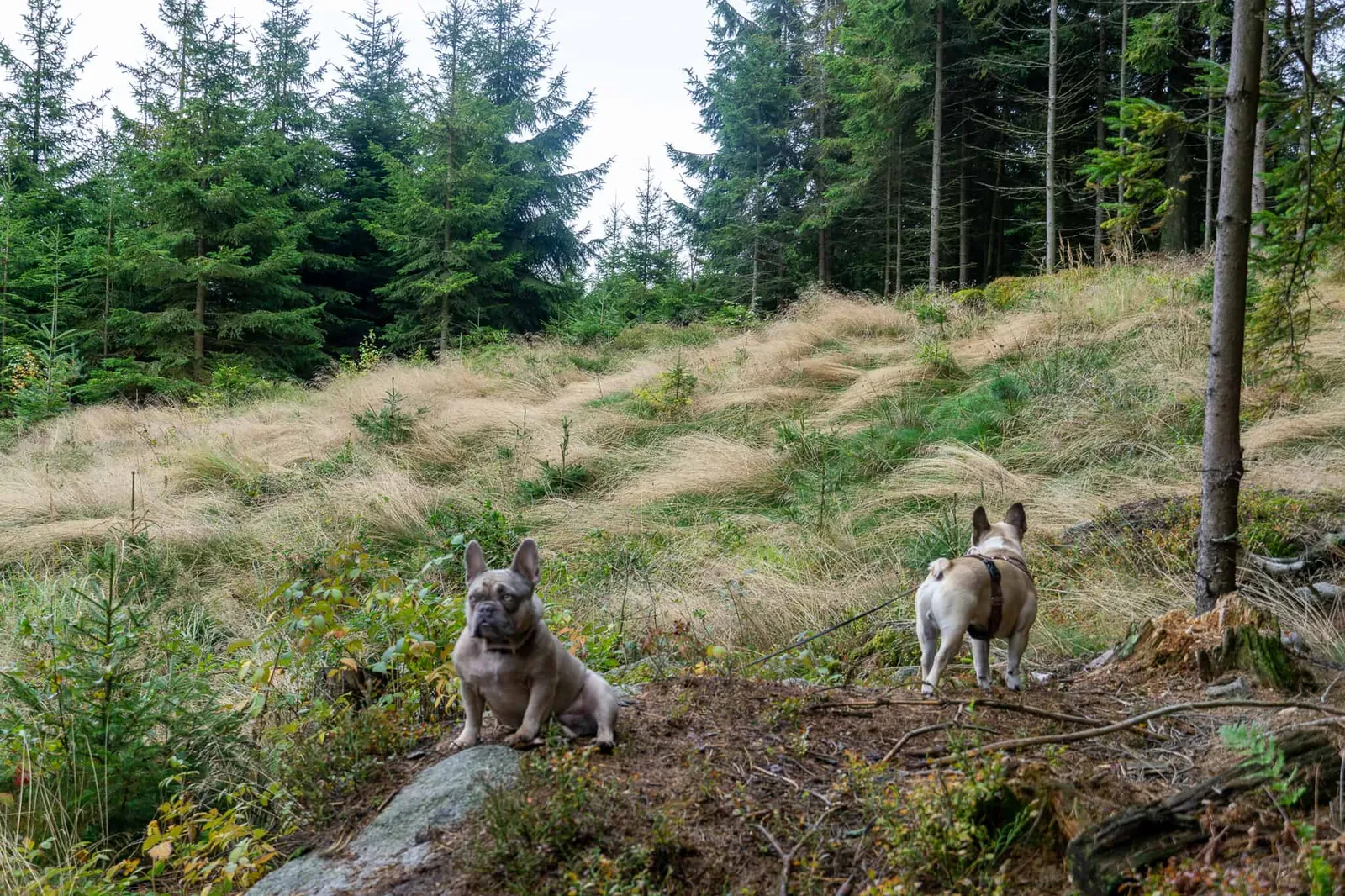
After exploring the crumbling walls, we turn right and enter a narrow wooded path that leads us all the way around the ruin.
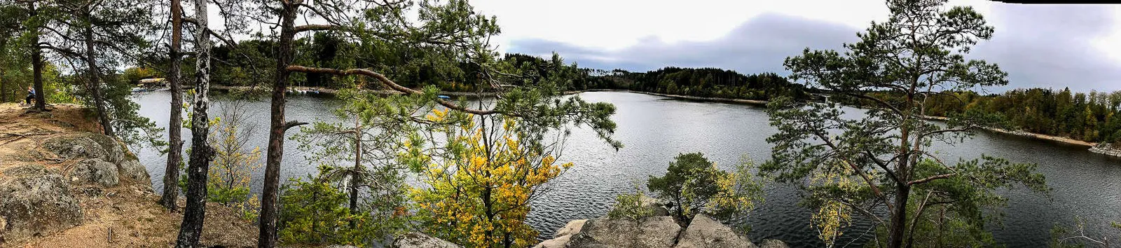
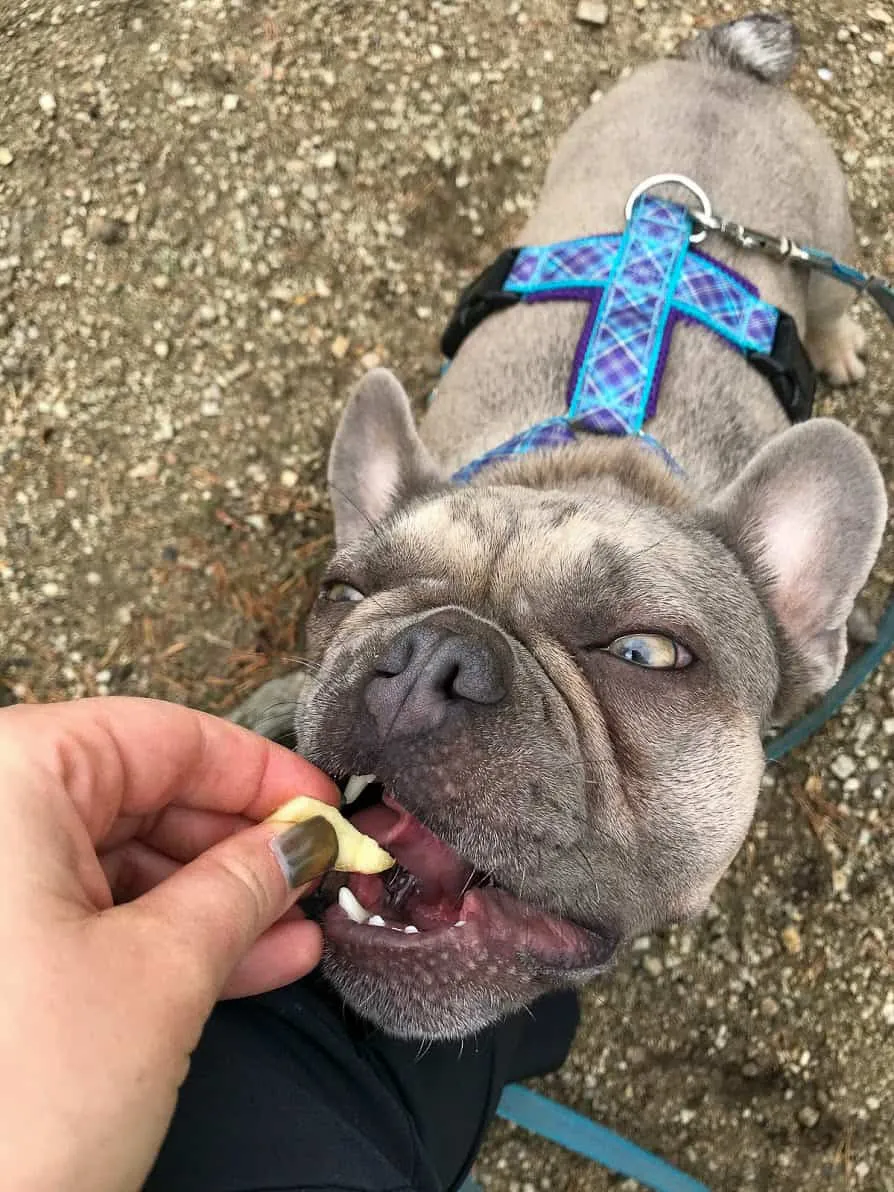
On the rocky ridge we take in the view of the reservoir and share an apple between us, while on the far bank the boats are being put away for winter.
Join us on the circular trail around the ruin
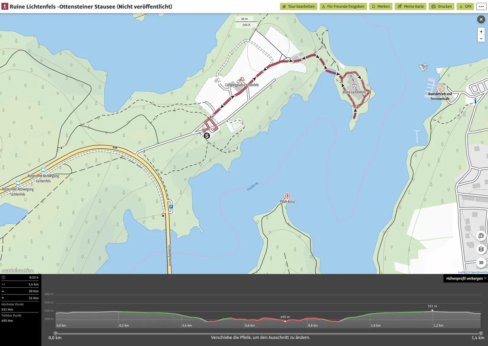
Trail details
- Pace: leisurely
- Stated walking time: 25 minutes
- Our actual time: 1 hour
- Distance: 1.4 km
- Ascent: 30 m
- Descent: 31 m
- Highest point: 521 m
- Lowest point: 495 m
Dog facts
- The hike is mostly on a lovely trail.
- Very easy route.
- Right at the start we found a spot in the bay where the dogs could have a swim.
- On that day we didn't meet any other walkers, hikers or dog owners.
Our 2nd Day Trip
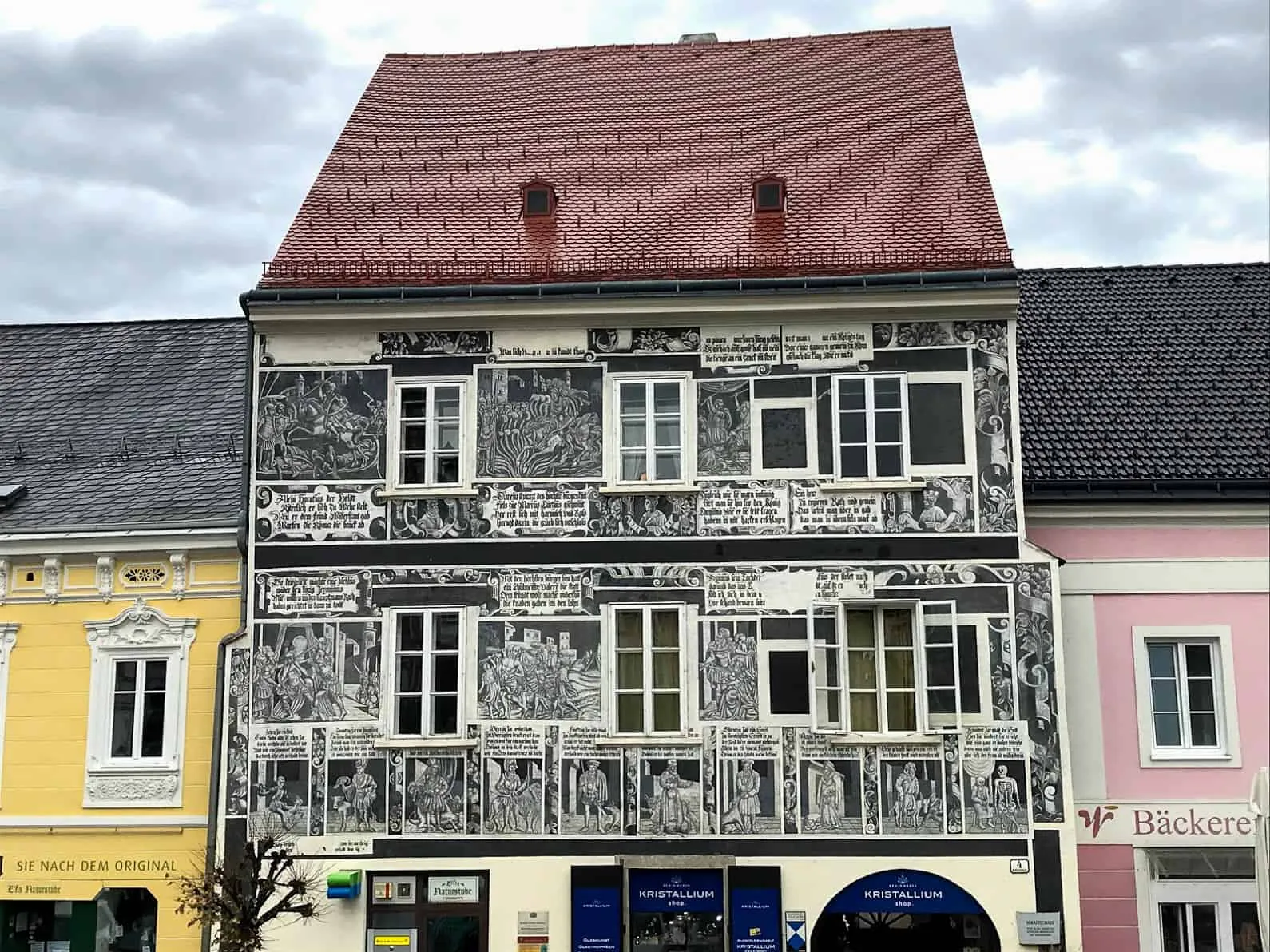
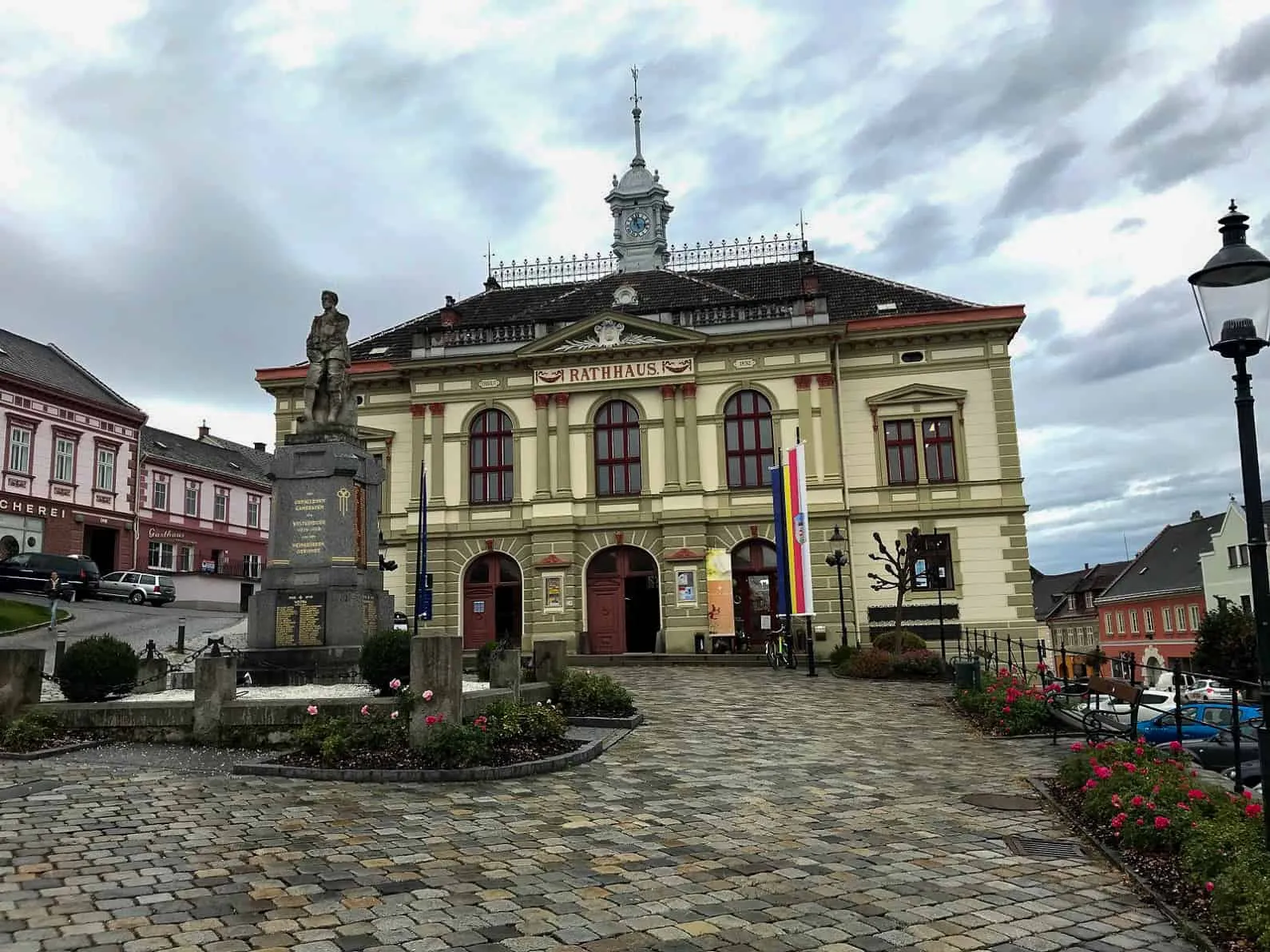
Weitra – Austria's oldest brewing town
On the way to our destination for the day we make a brief stop in Weitra. This medieval market town boasts a charming main square that delights with its variety of colourful facades. The residents of the old town all seem relaxed, friendly and easy-going.
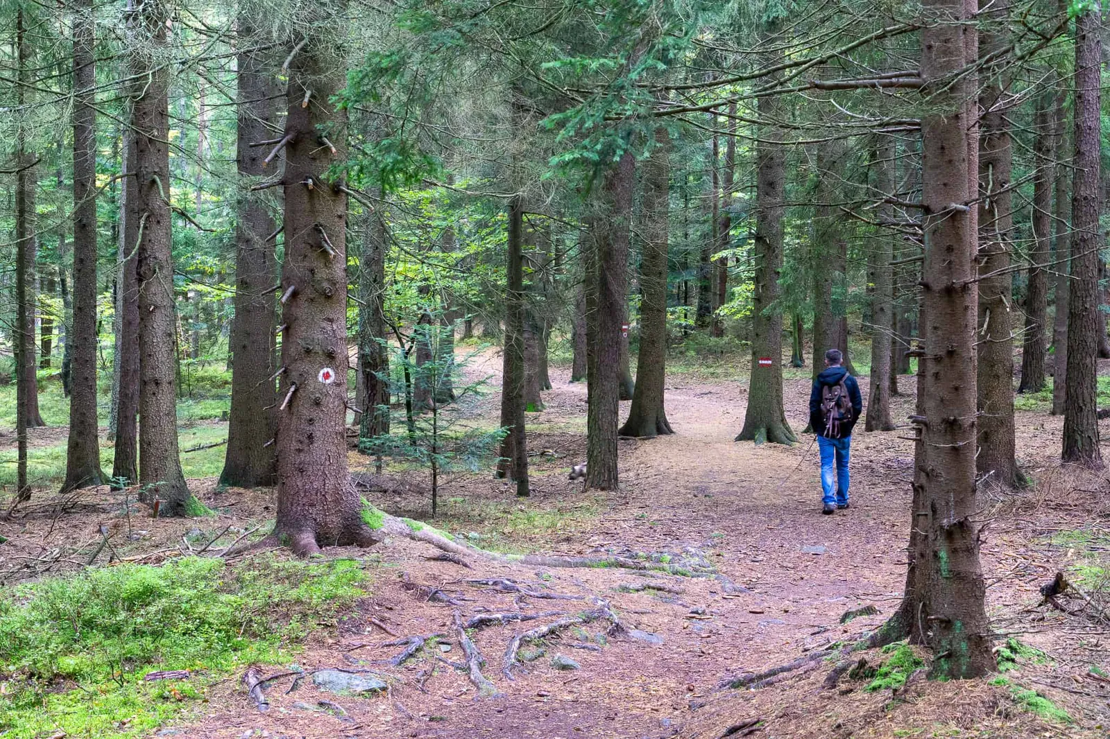
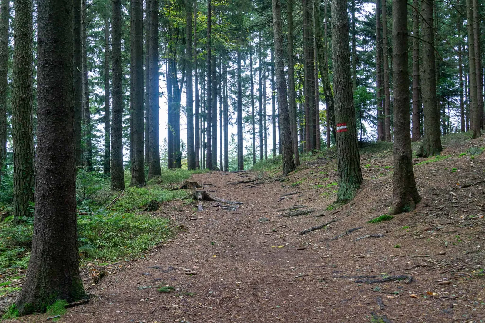
The Mandelstein – a view into the Czech Republic
We drive through the villages of Wultschau, Harbach and Maarbad to the car park. From there it's supposed to be only a 20-minute climb to the viewing platform — meaning up and down should be very doable in 45. I'll say it straight away: "We took 2 hours!"
"Why?"
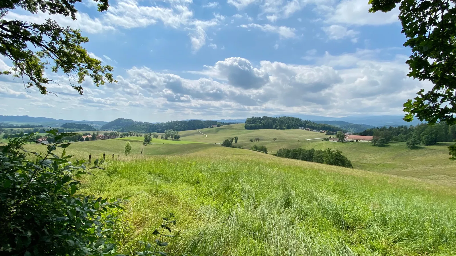
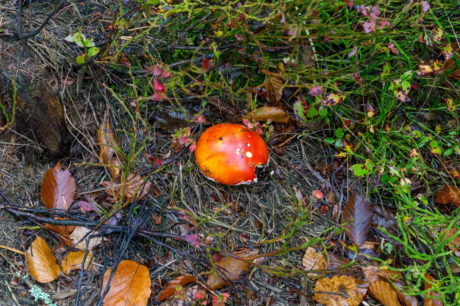
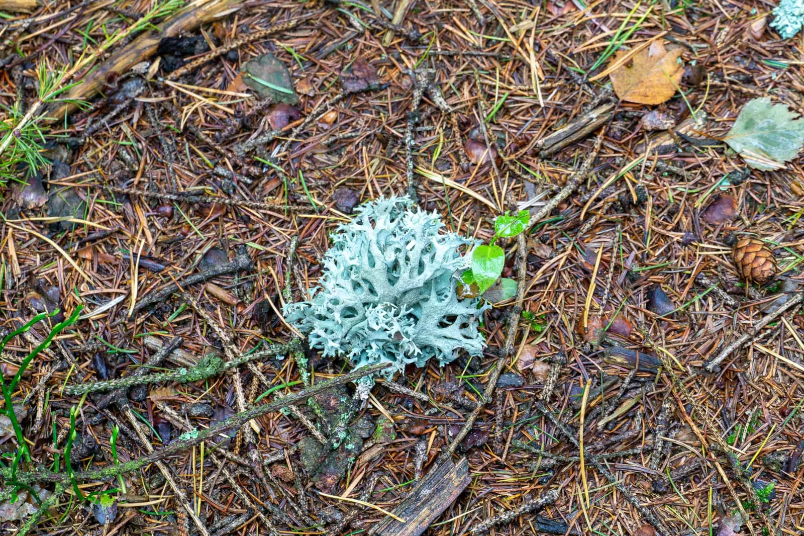
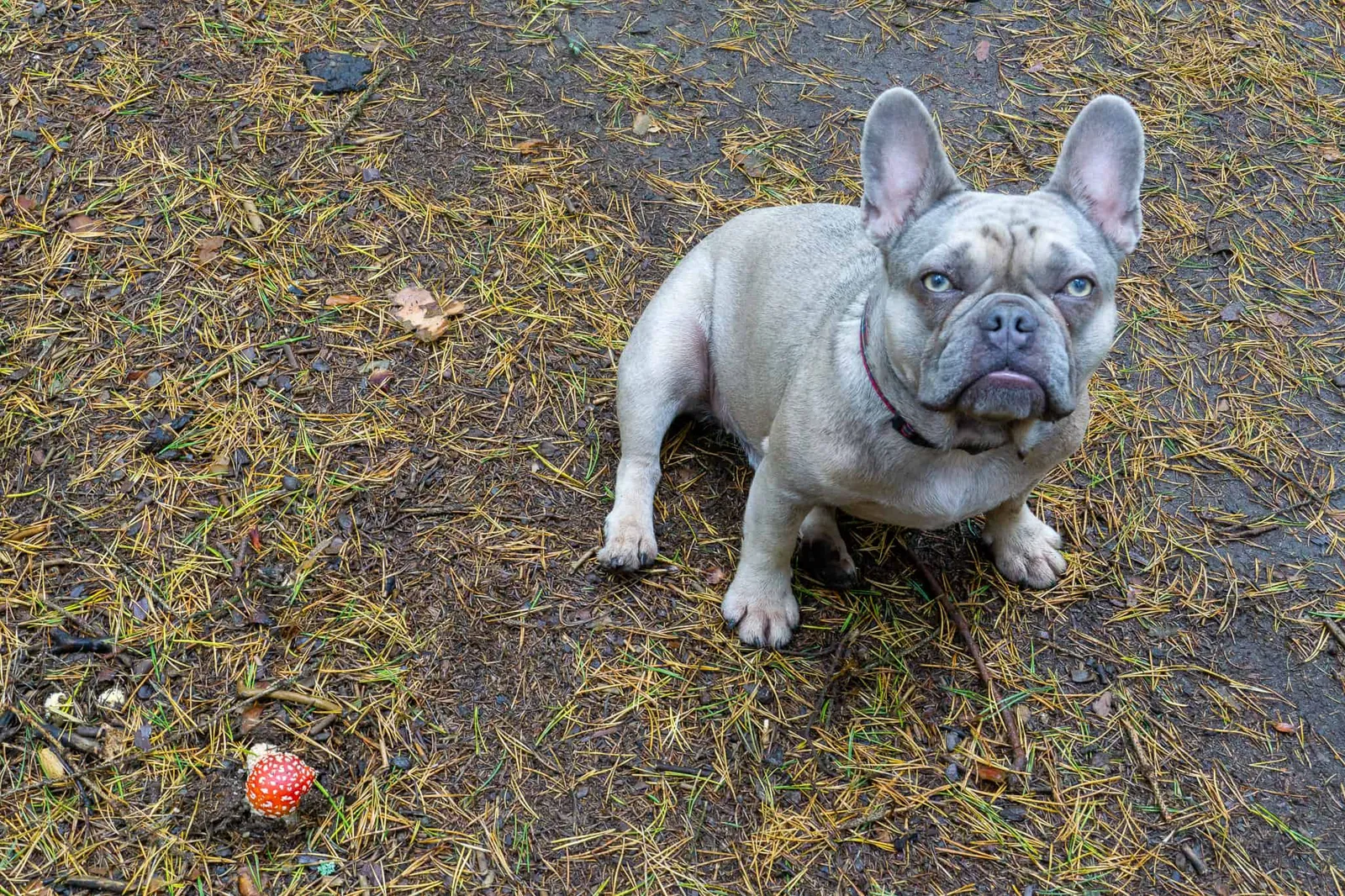
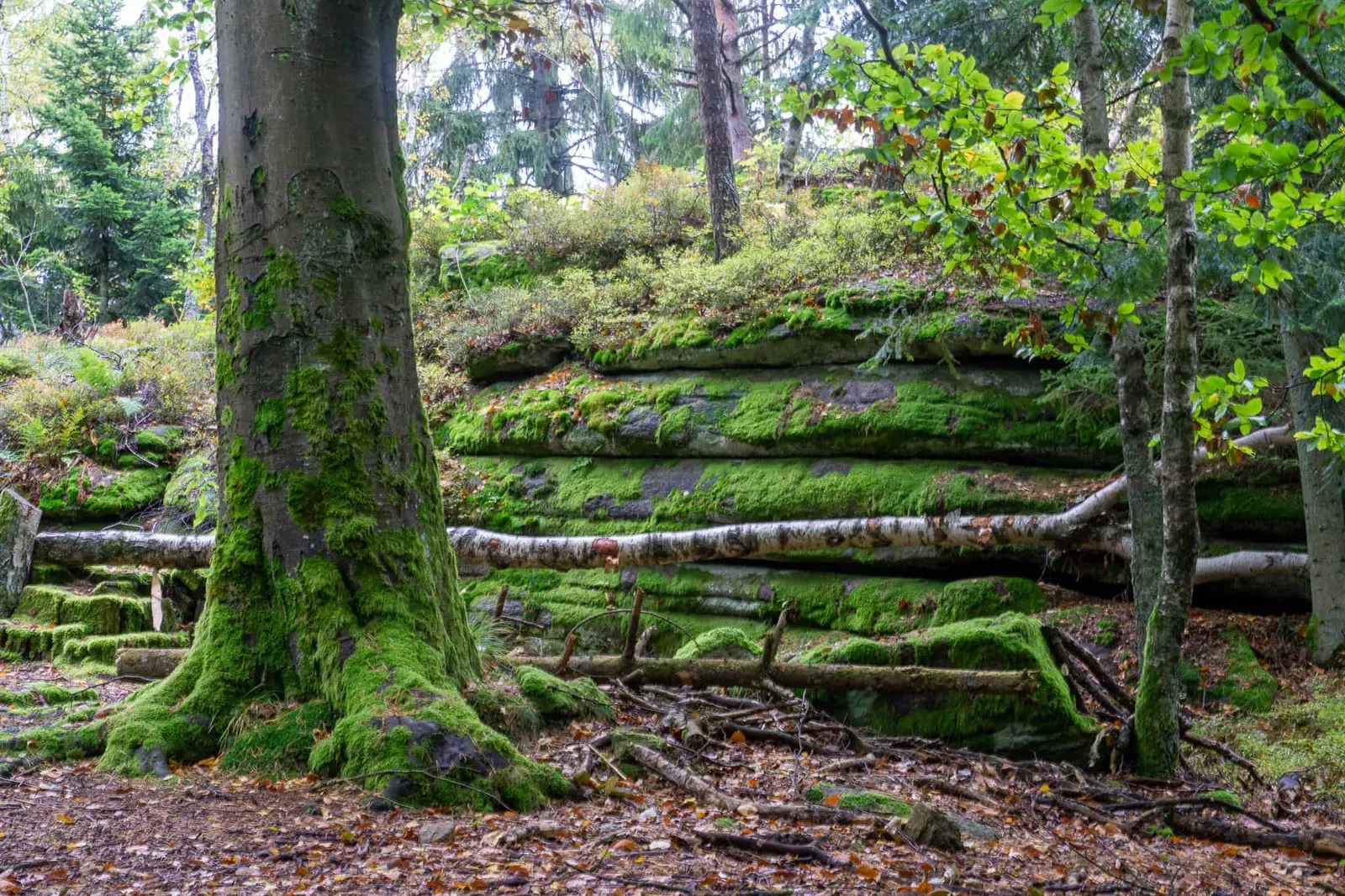
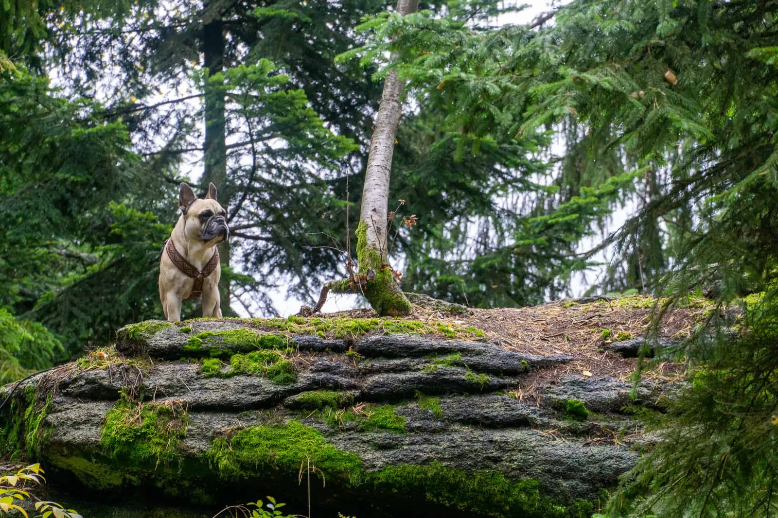
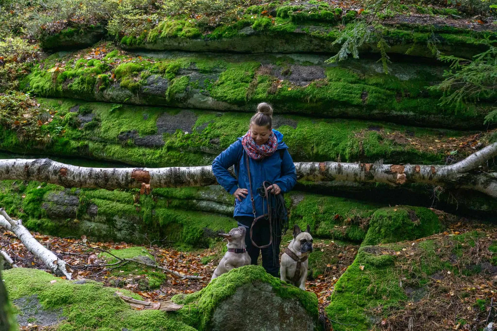
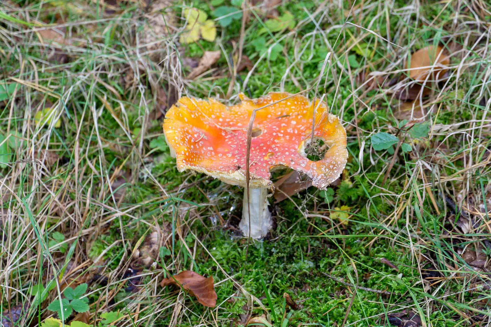
Because we truly experienced the forest in its purest form. We found fly agarics, watched deer in complete peace, and dawdled along on the softest ground I have ever walked on.
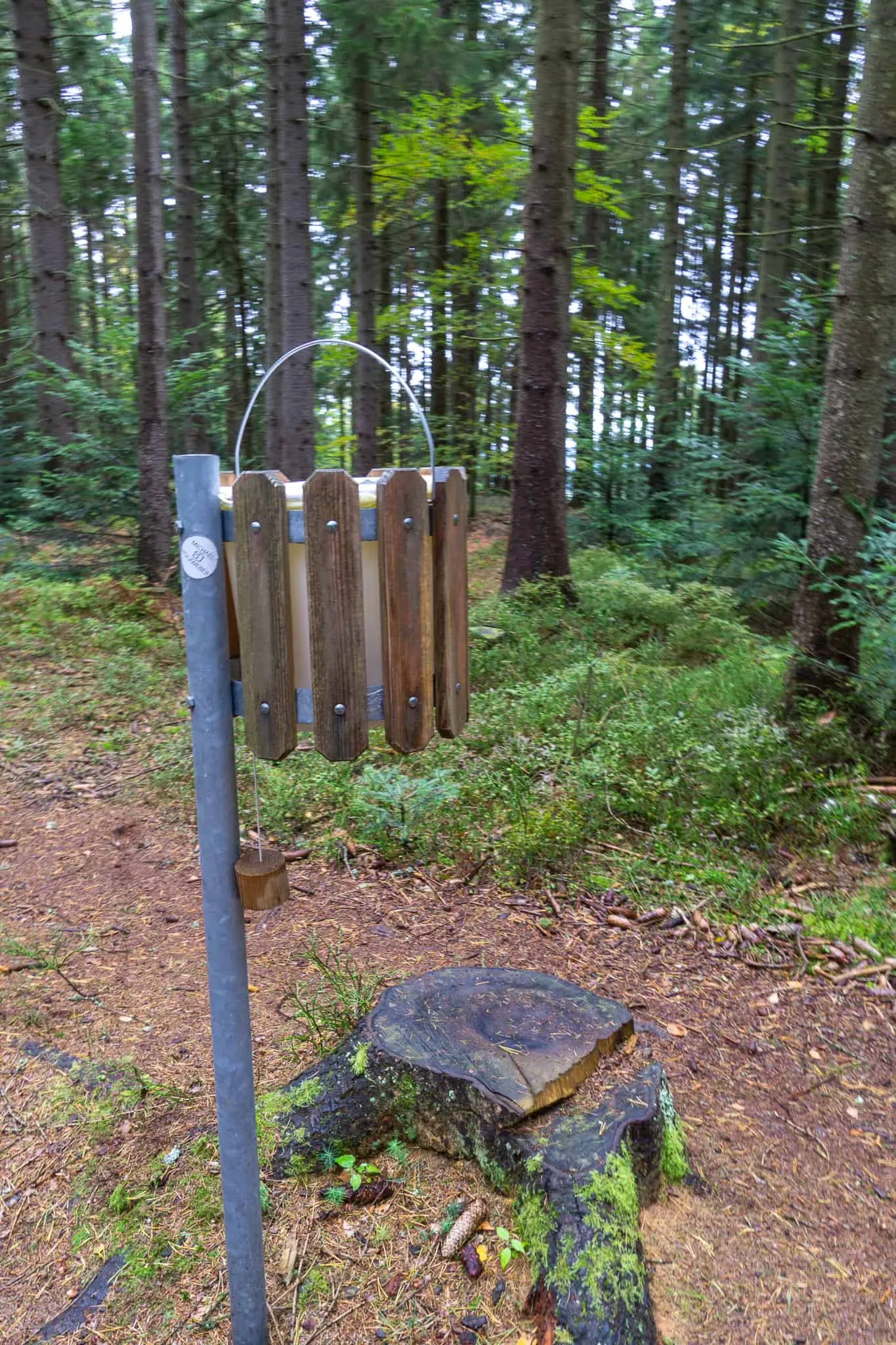
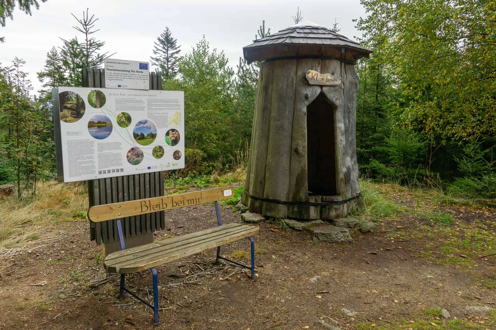
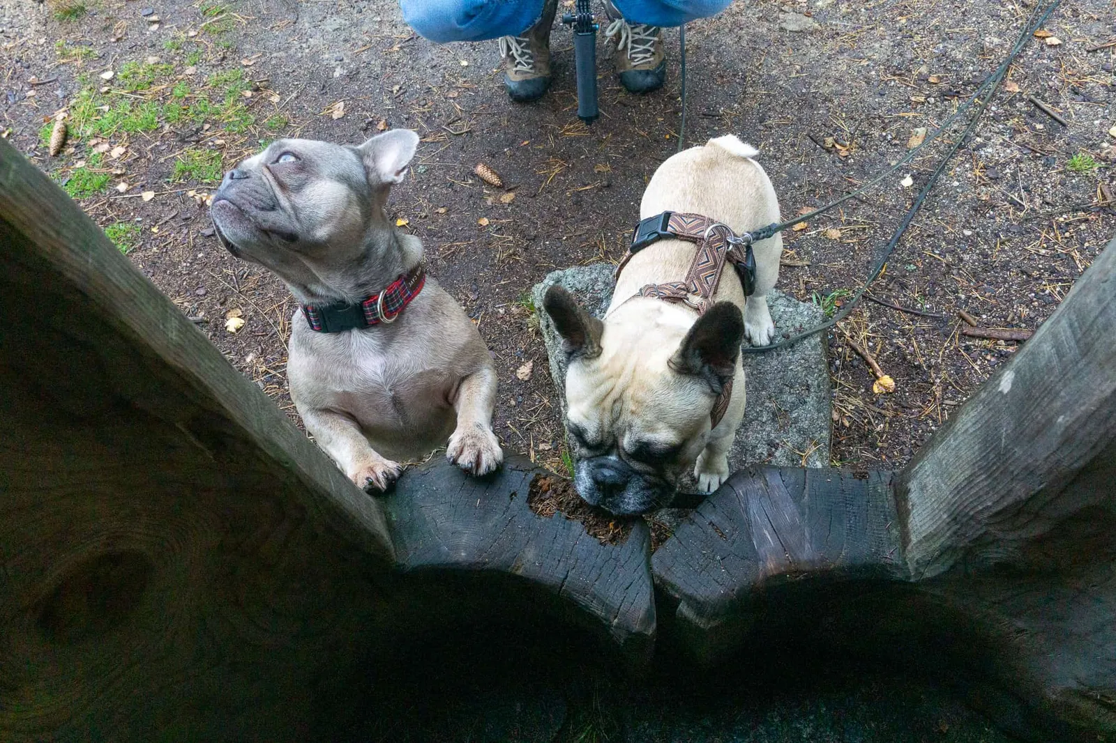
The little sound hut
A cute little sound hut sits along the path, where we try out our musical talents. Archie and Murphy offer only limited applause despite my best efforts, and turn their attention back to the important matters of dog life.
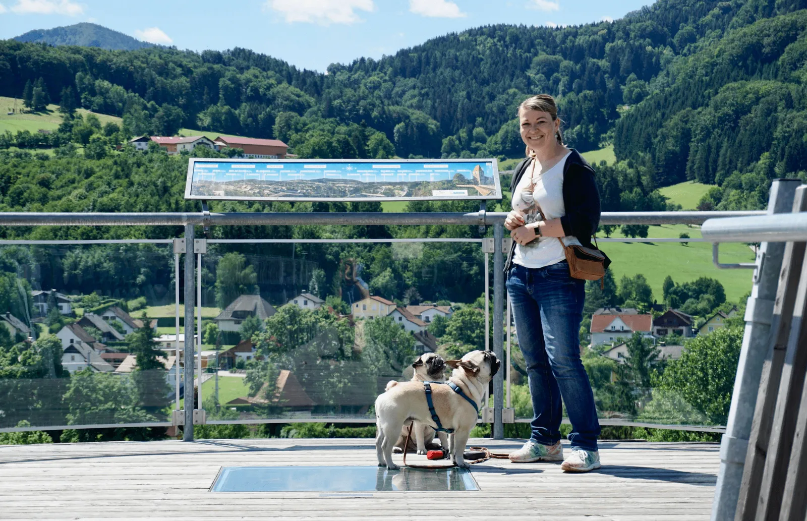
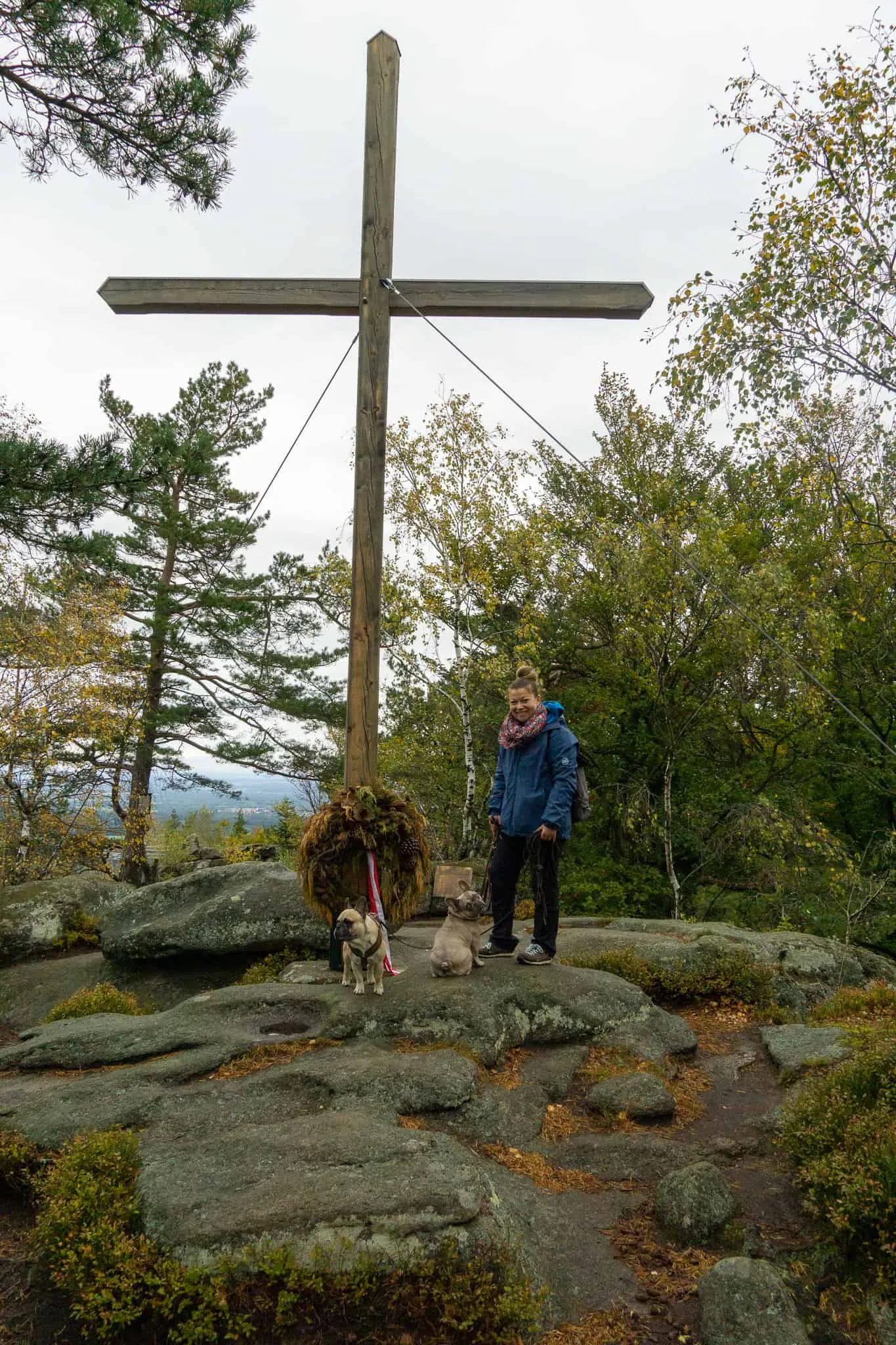
The Summit Cross and the Viewing Platform
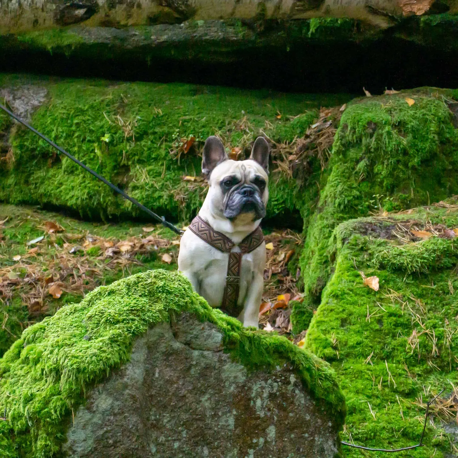
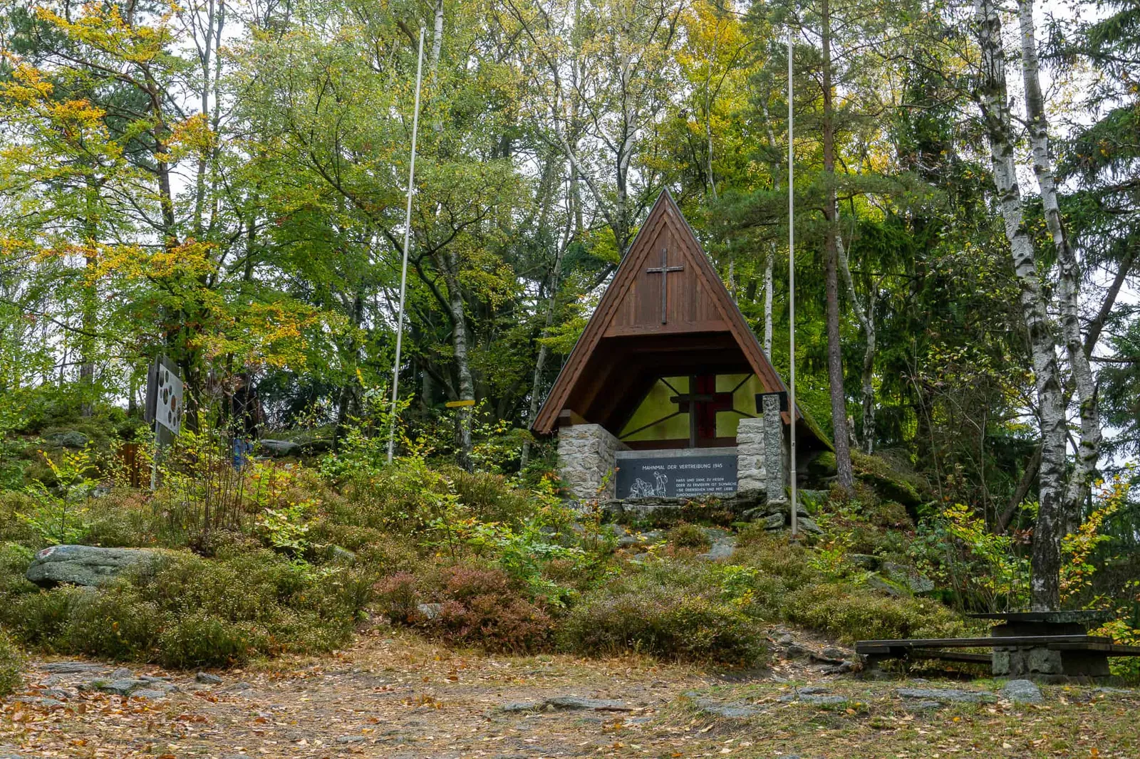
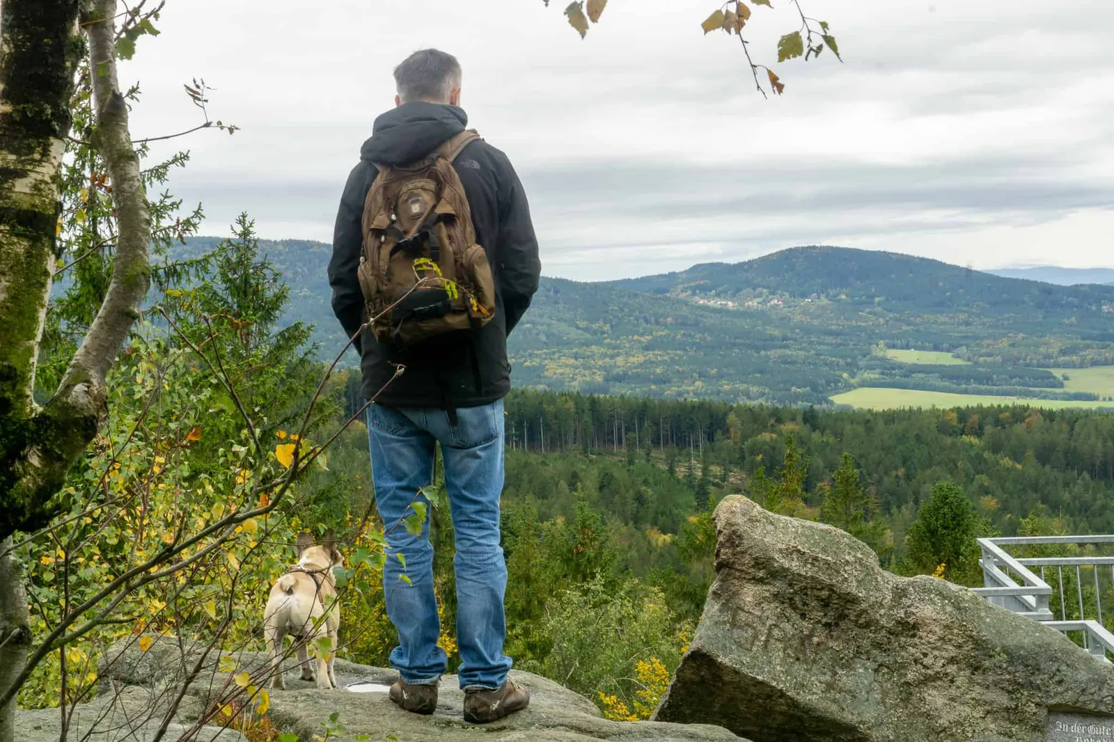
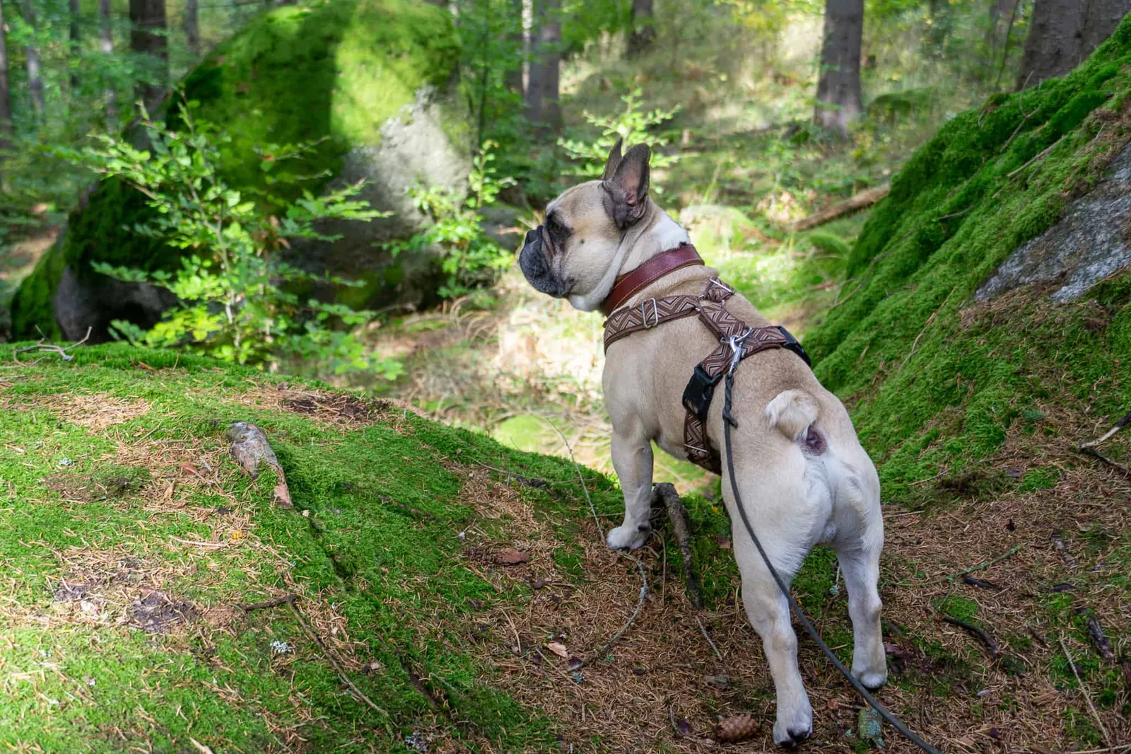
Moss-covered rocks line the path to the memorial (Monument to Expulsion) and over a few more boulders, my favourite man, Murphy, Archie and I reach the summit cross of the Mandelstein at 874 m altitude.
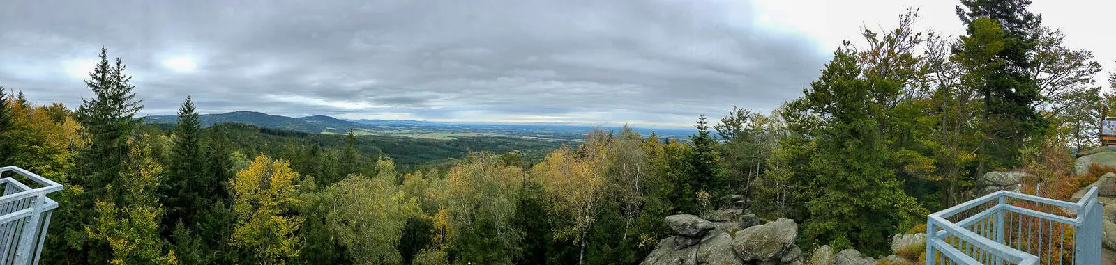
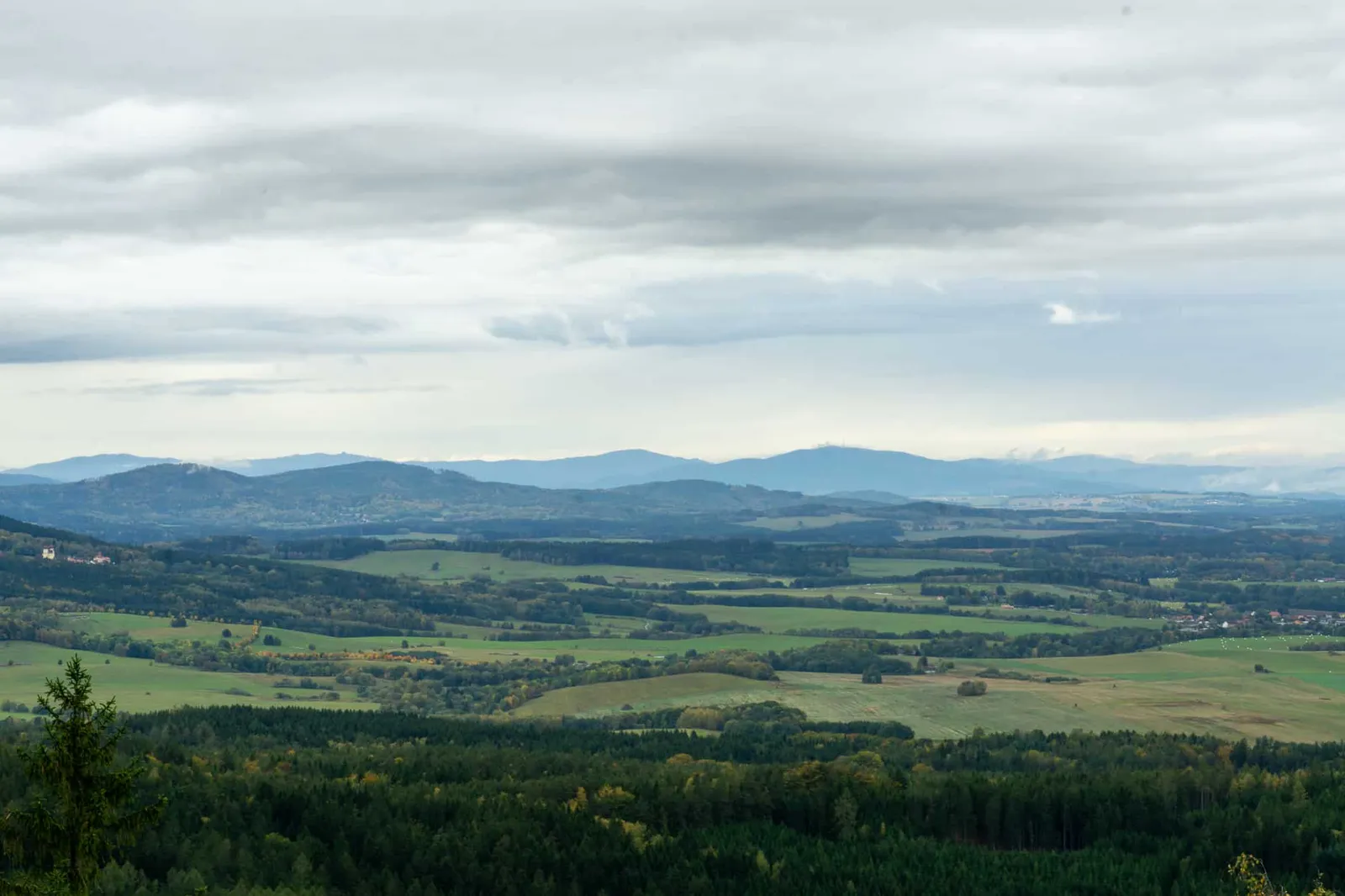
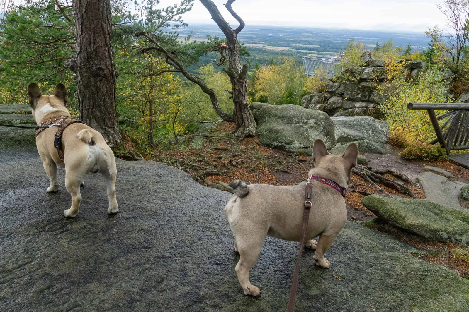
From there, a wooden bridge leads to the viewing platform, which was built in 2013. We gaze out over the border region between Austria and the Czech Republic. To know exactly what we're looking at, we make use of the (free) telescope and the handy information panel.
The summit circular trail is unfortunately closed, so we make our way back to the car along the same route. Almost exactly as slowly going down as going up ;)
Our Ascent to the Mandelstein
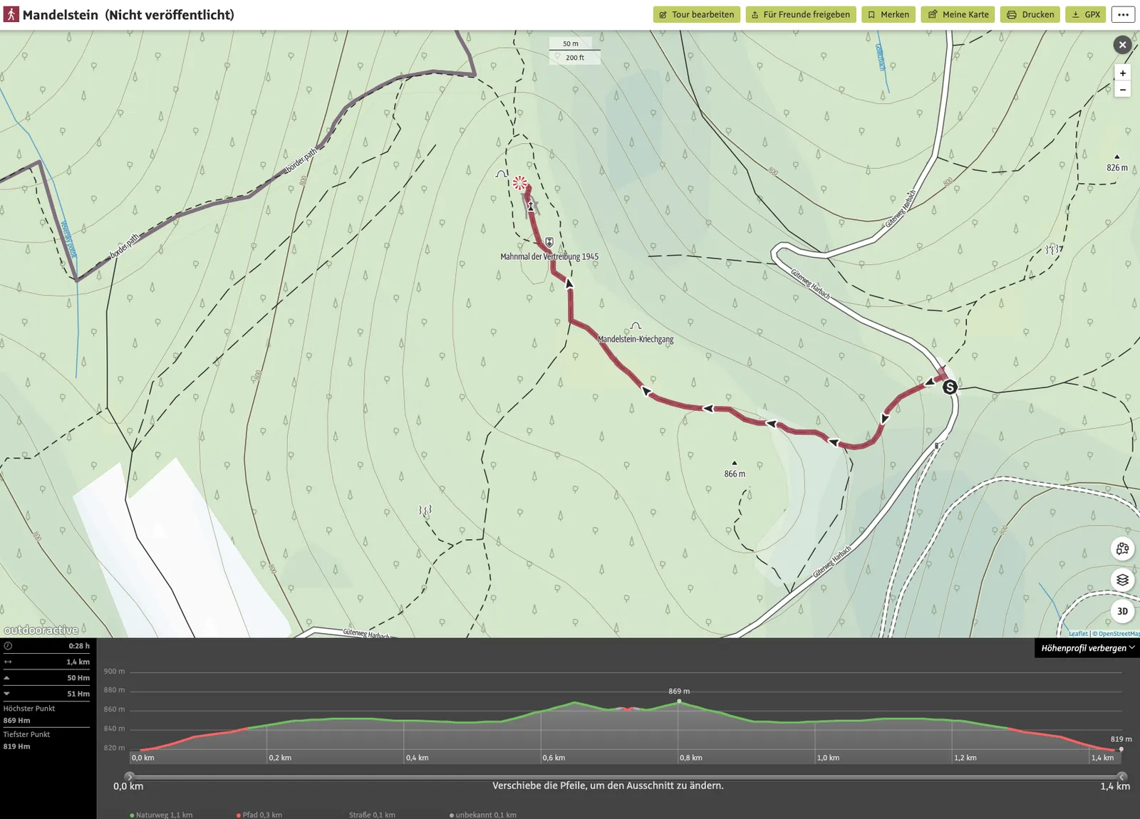
Tour Details
- Pace: slow
- Stated walking time: approx. 28 minutes
- Our duration: approximately 2 hours
- Distance: 1.4 km
- Ascent: 50 m elevation gain
- Descent: 51 m elevation loss
- Highest point: 869 or 874 m elevation
- Lowest point: 819 m elevation
Dog Facts
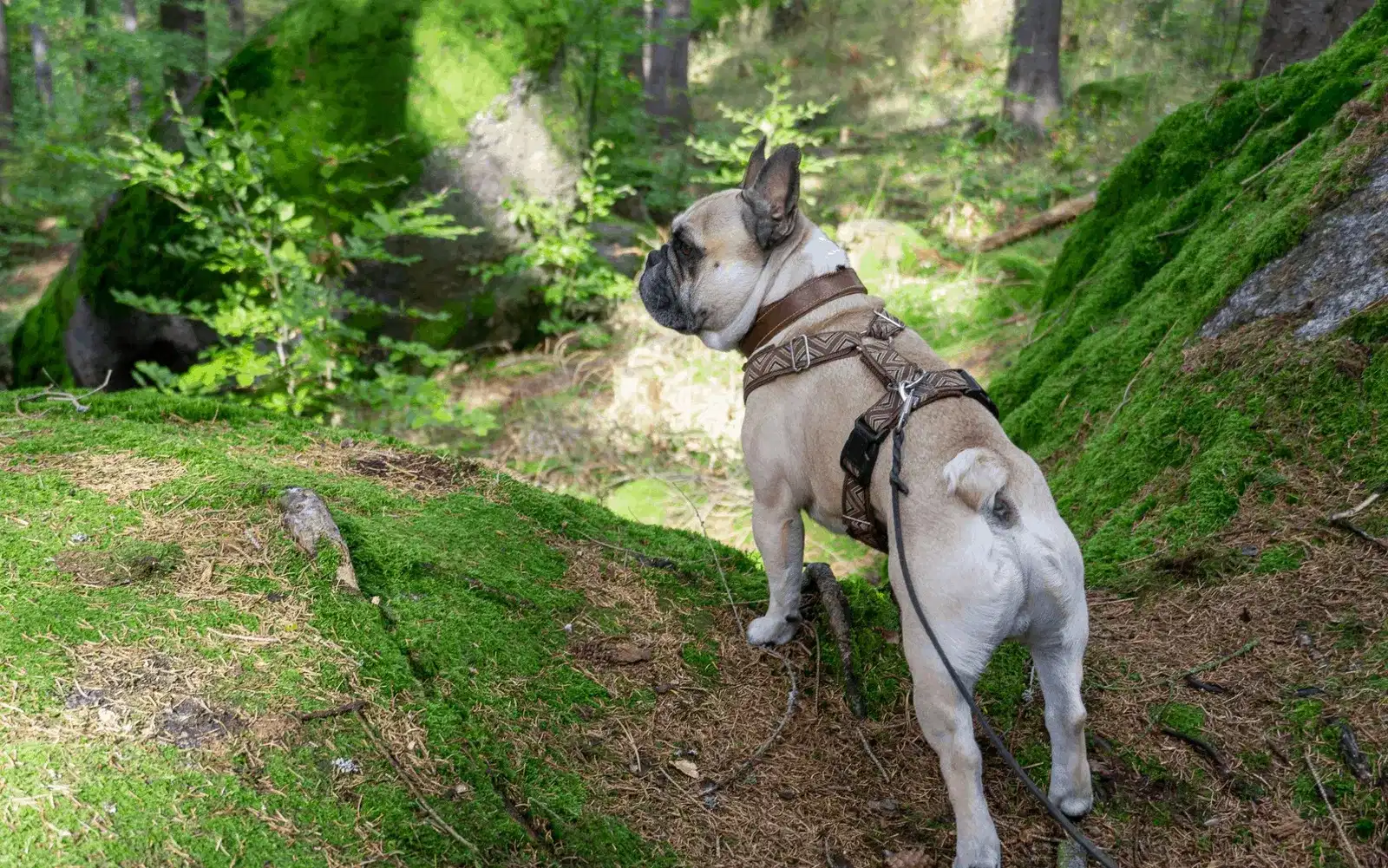
- Hike mostly on forest floor, with some boulders near the end on the way to the summit cross.
- We had the trail completely to ourselves — though it was a weekday in October.
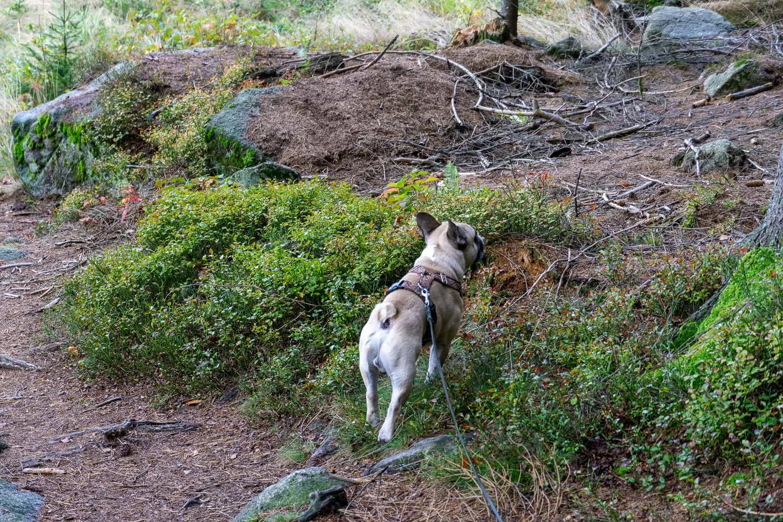
- We spotted deer and there were plenty of interesting scents along the way.
Our 3rd Outing
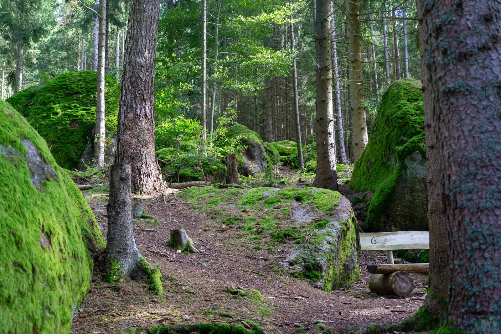
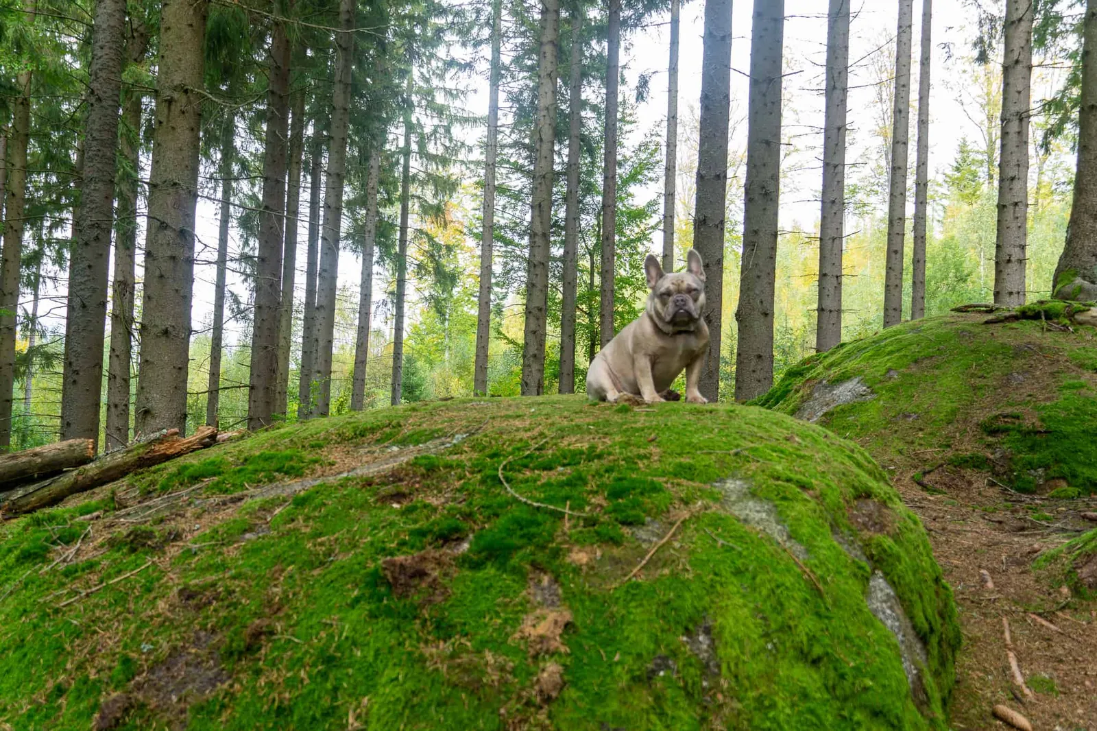
Die Weltkugel
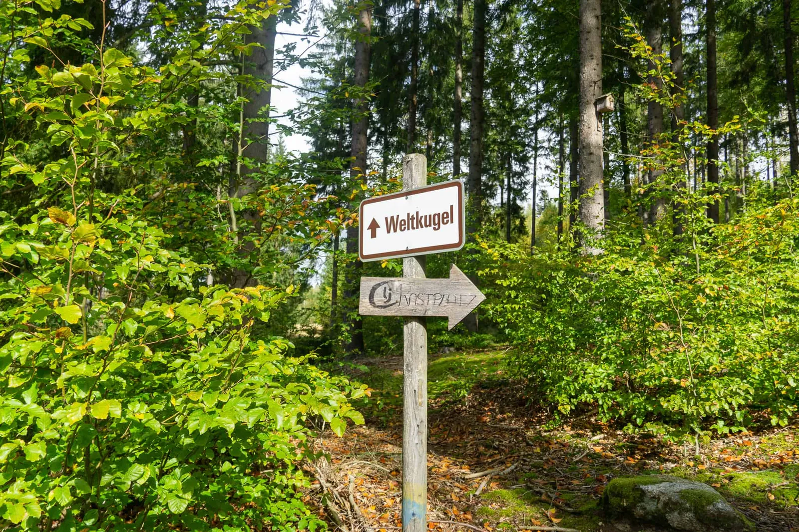
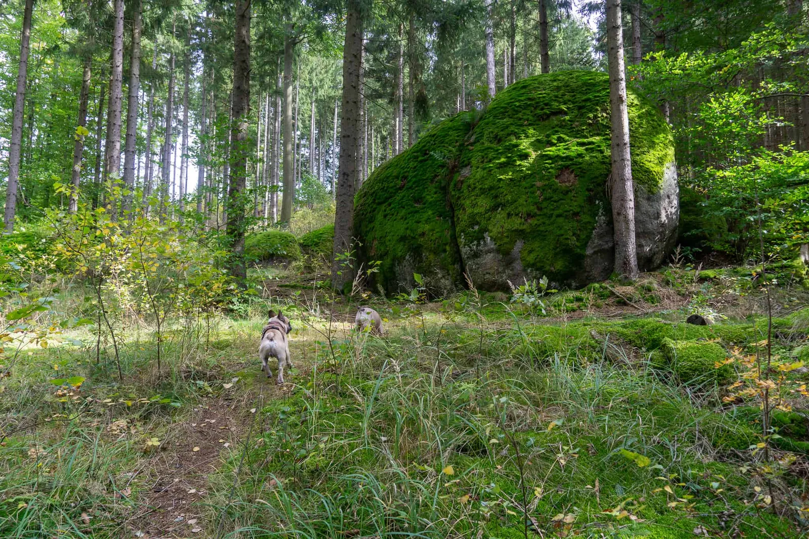
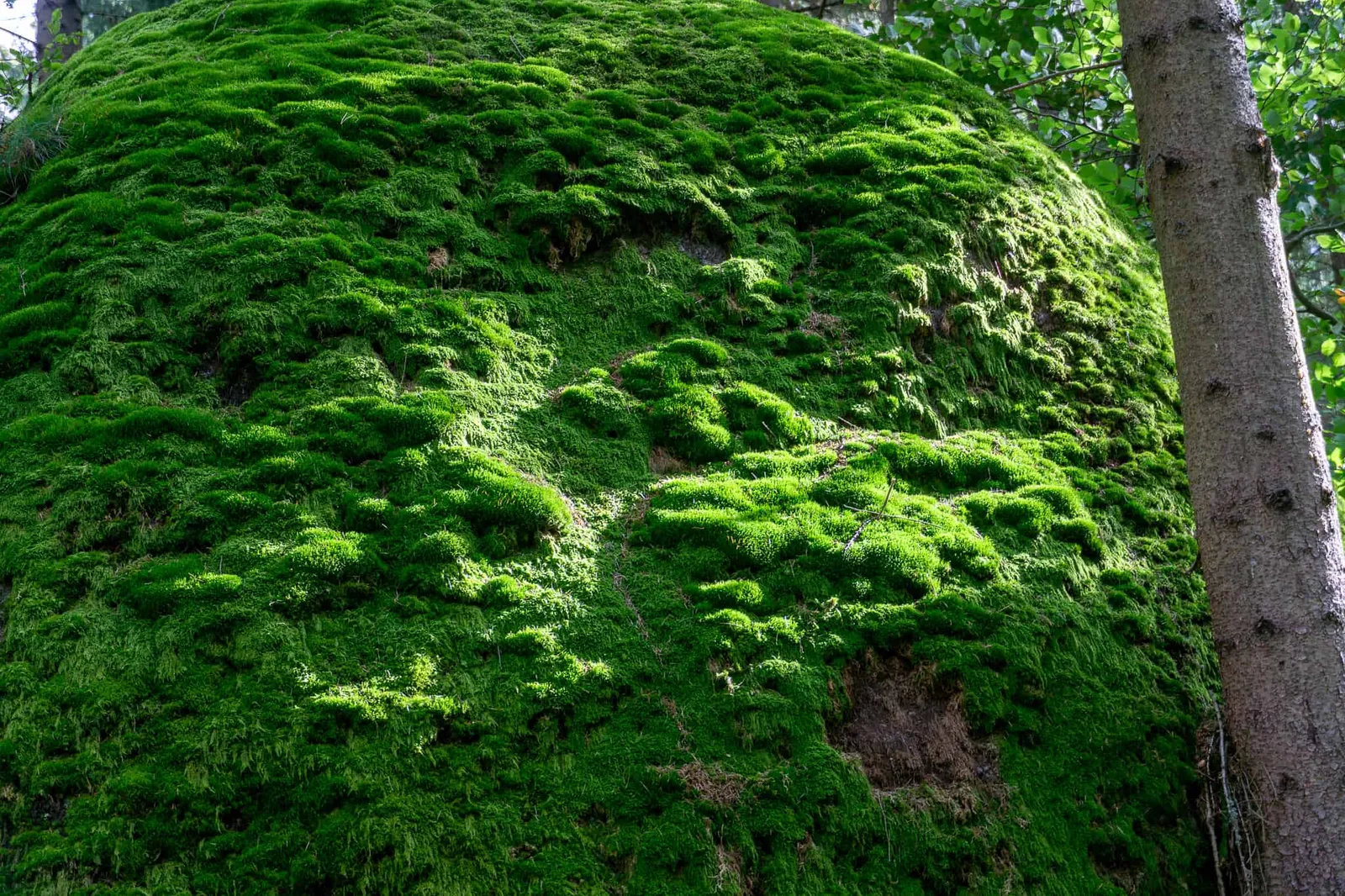
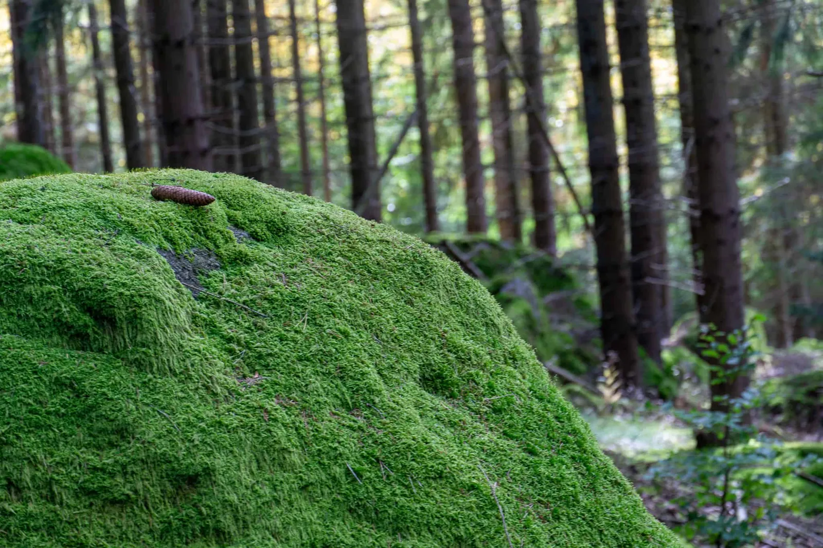
On our departure day we want to seek out one more place of power to unwind, and after a short stretch along the forest road — about 1 km — we reach die Weltkugel.
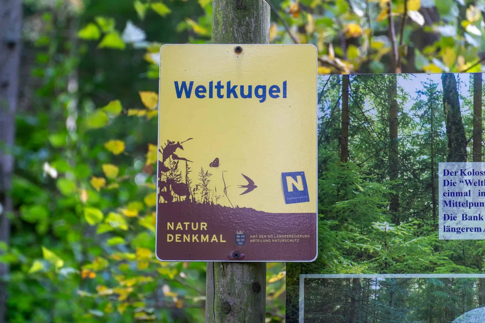
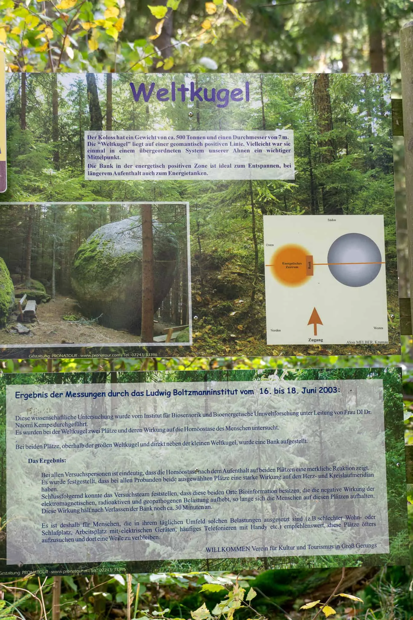
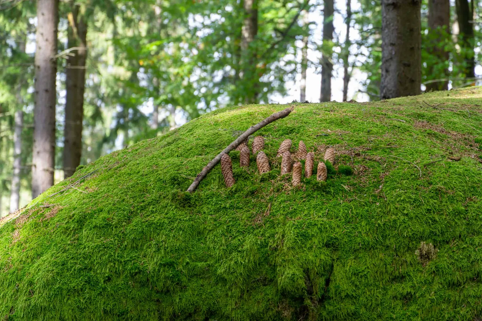
The rounded rock formation weighs 500 tonnes. Within its energetically positive zone there is bioinformation that can neutralise electromagnetic interference.
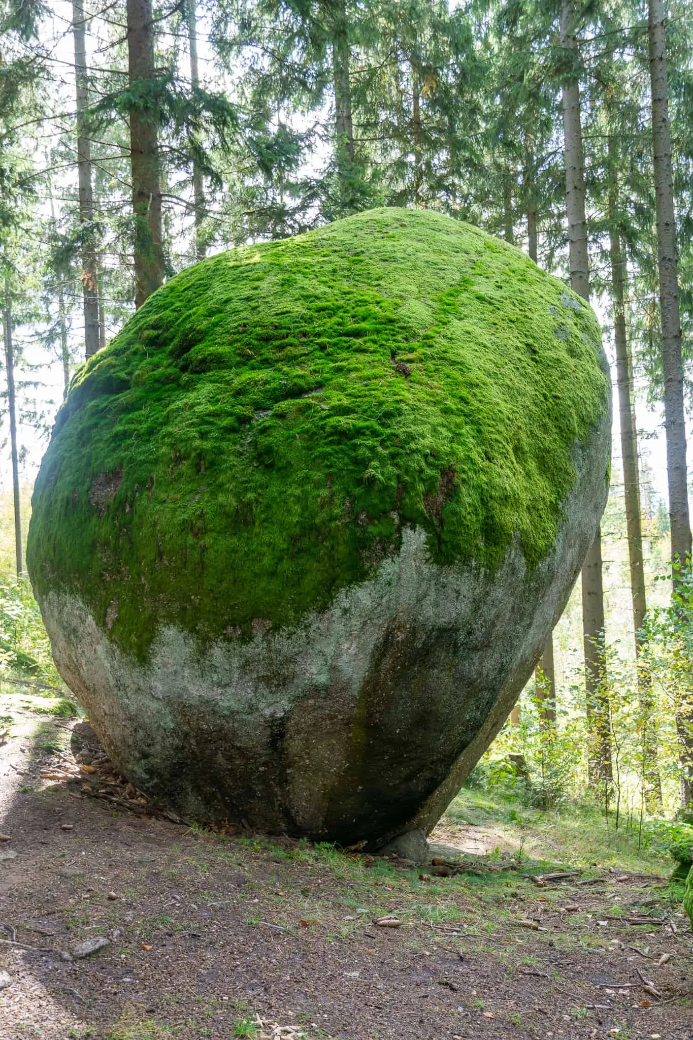
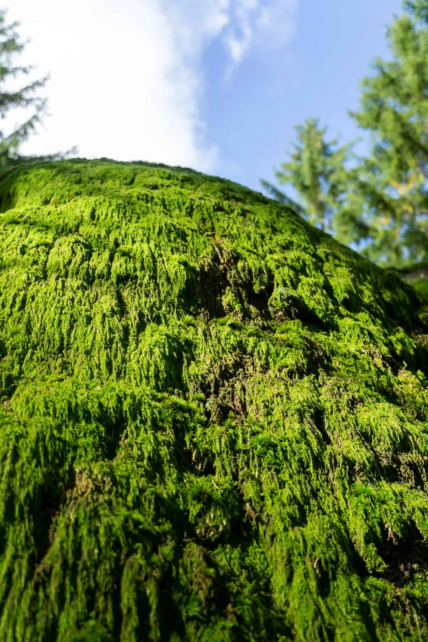
Having long wanted to see these moss-covered "standing stones" for myself, I soak up the atmosphere of this place and simply savour the moment.
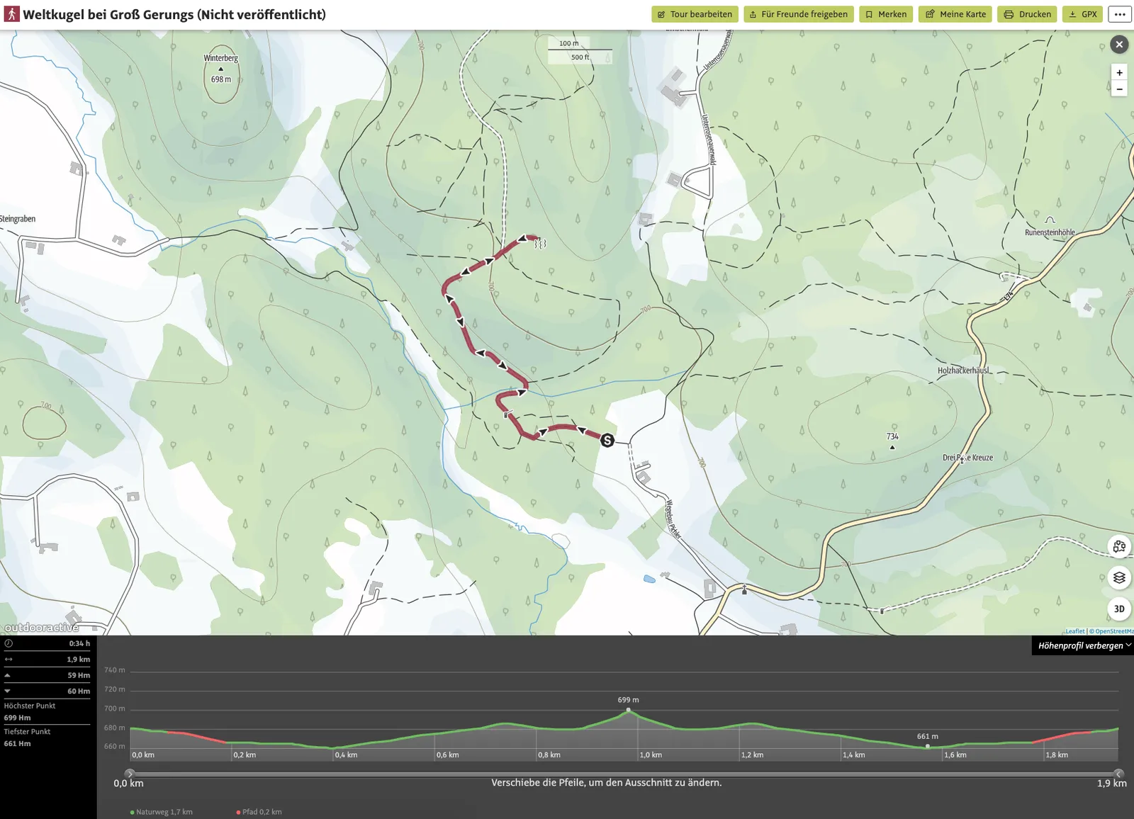
Tour Details
- Pace: slow
- Stated walking time: approx. 34 minutes
- Our duration: approximately 1 hour
- Distance: 1.9 km
- Ascent: 59 m elevation gain
- Descent: 60 m elevation loss
- Highest point: 699 m elevation
- Lowest point: 661 m elevation
Dog Facts
- Hike mostly on forest paths.
- Here too we had the trail completely to ourselves — though again, it was a weekday in October.
- We didn't spot any wildlife, but there were plenty of interesting scents around.