Unpaid advertising due to links
Baden bei Wien is a spa town south of the capital, on the edge of the Wienerwald, which has not only numerous sulphur springs but also charming natural surroundings to offer.
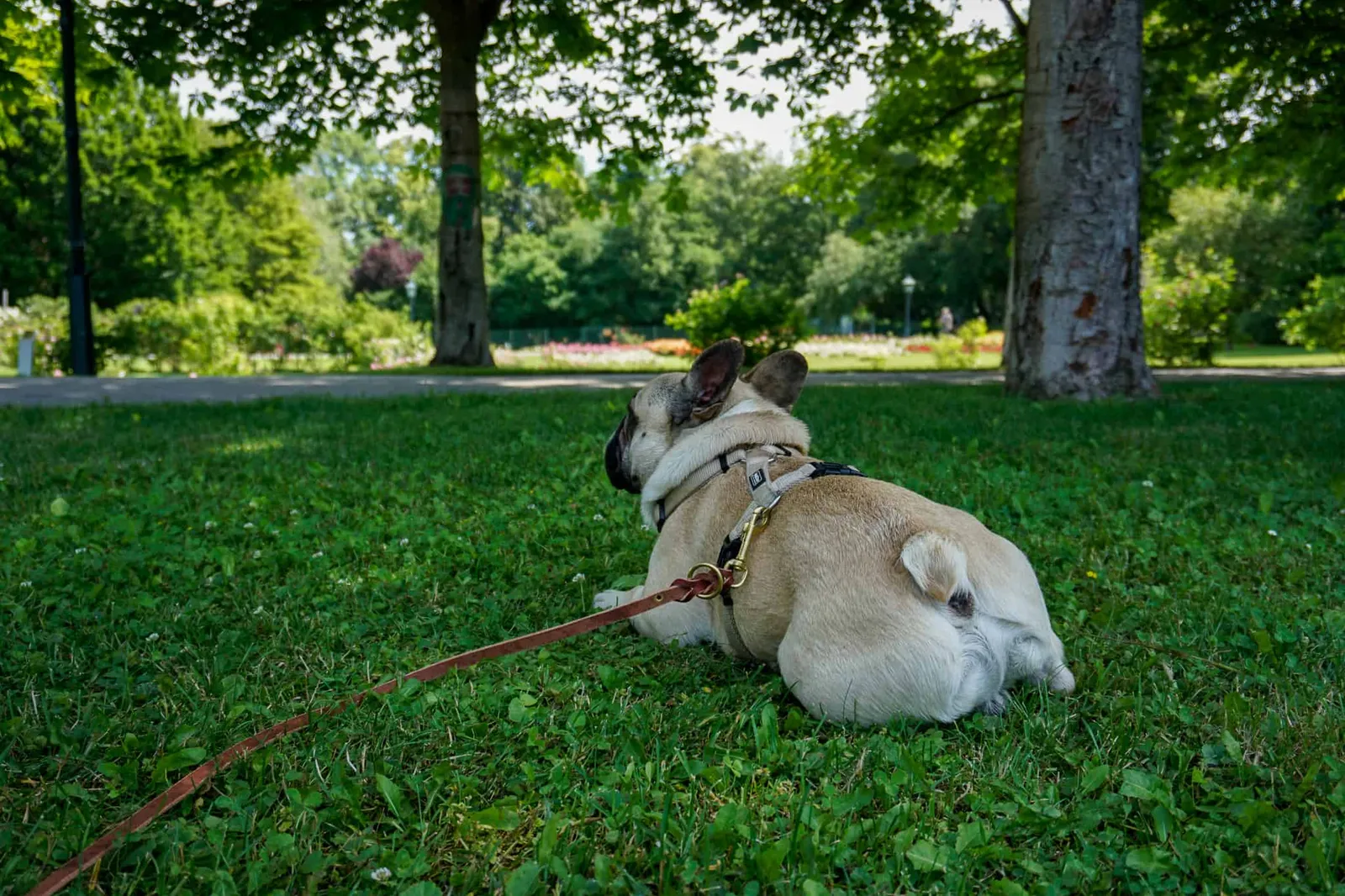
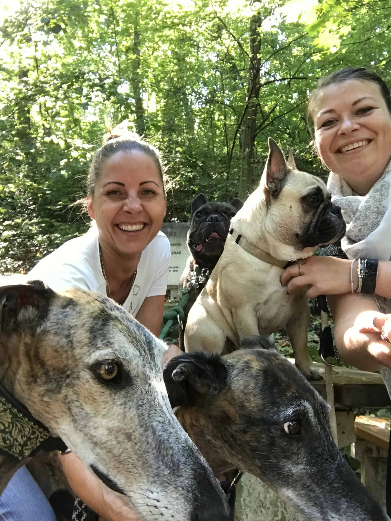
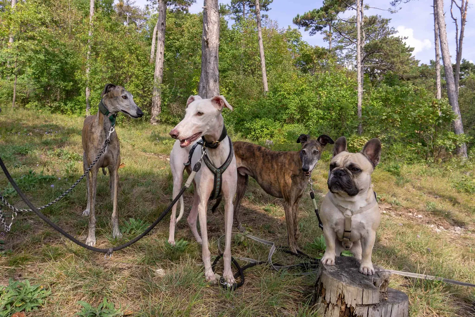
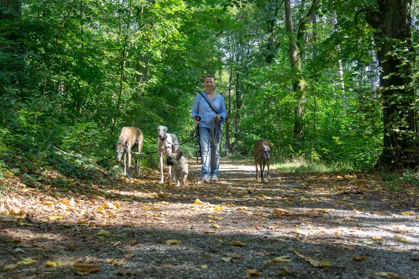
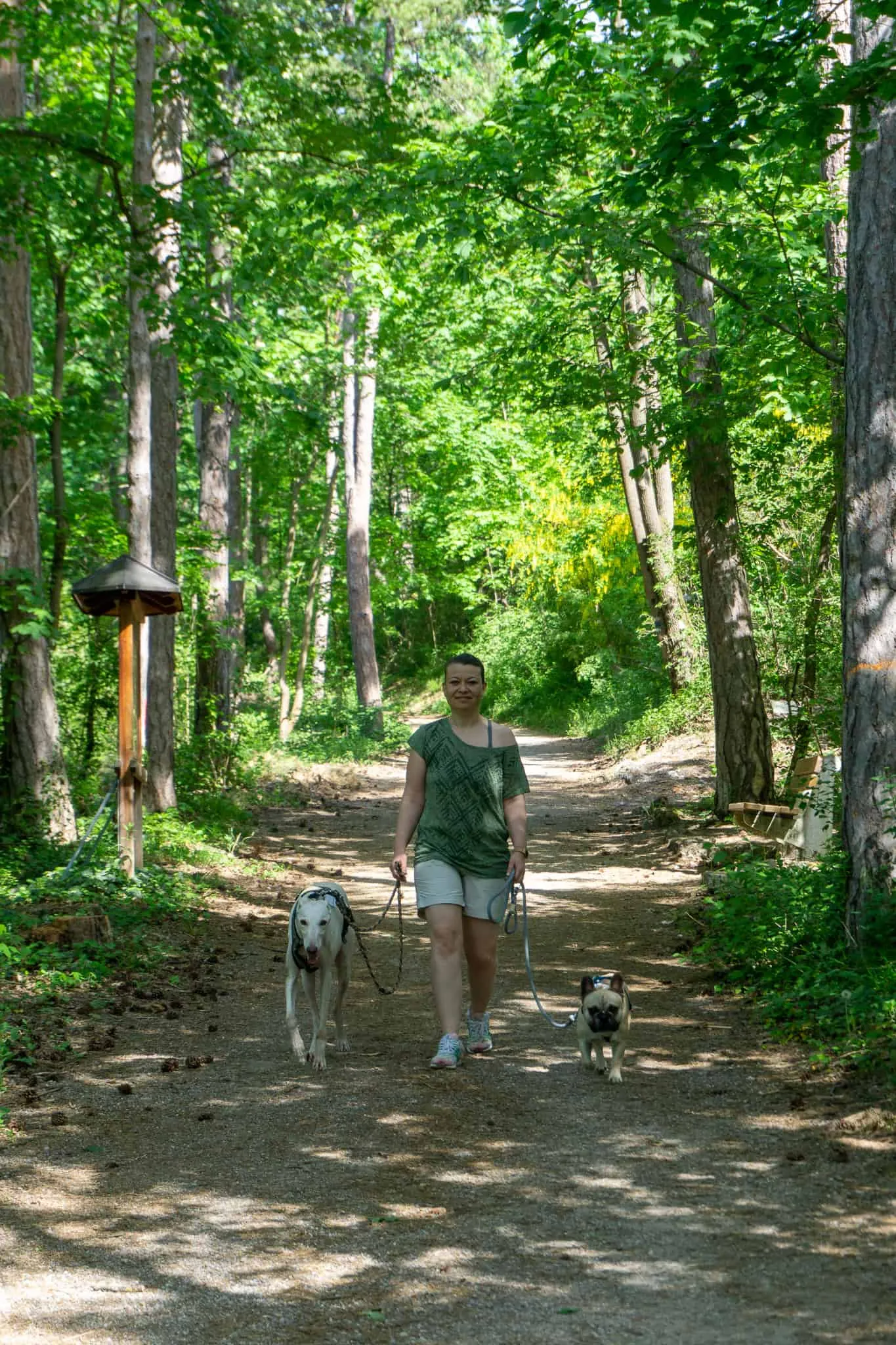
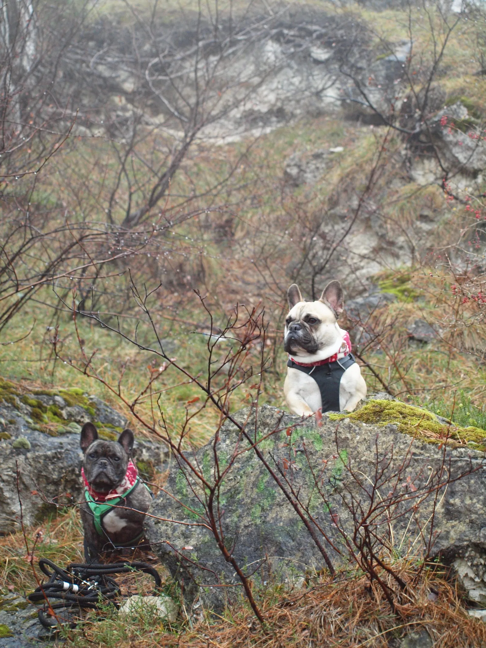
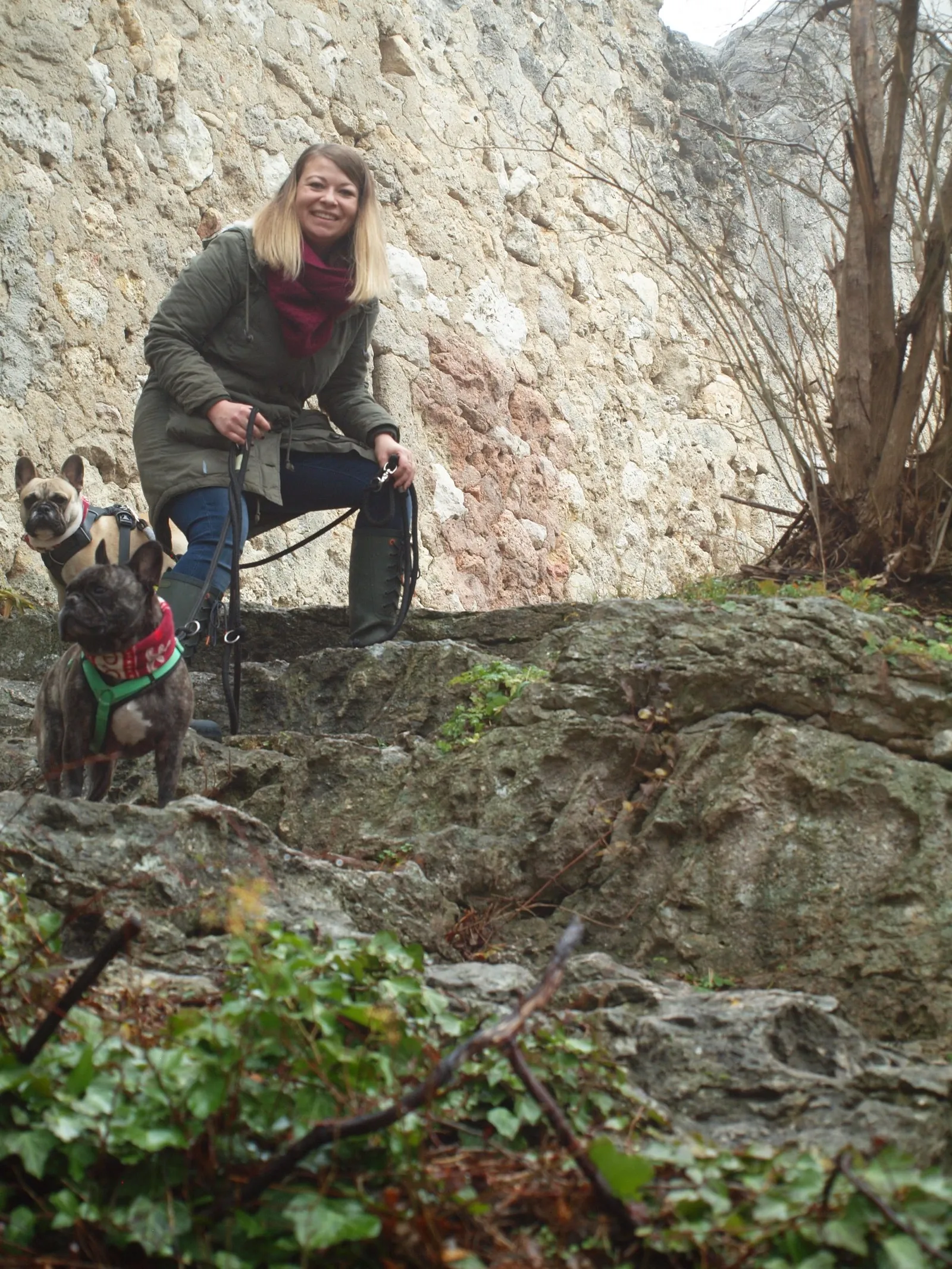
Having moved to this lovely Biedermeier town back in 2014 — as a Vienna native — and feeling very much at home here, I'd like to share a few hiking routes with you today that are well worth doing with a dog.
The Town of Baden
Thanks to its warm sulphur springs, Baden has a long history. The healing benefits of its thermal baths were already recognised and used in Roman times. Baden remains one of Austria's most important spa resorts and continues to attract a steady stream of visitors.
In 2018 the small town had just over 26,200 inhabitants and offers plenty for both its residents and tourists alike. The town centre is characterised by Biedermeier architecture and invites you to stroll and linger.
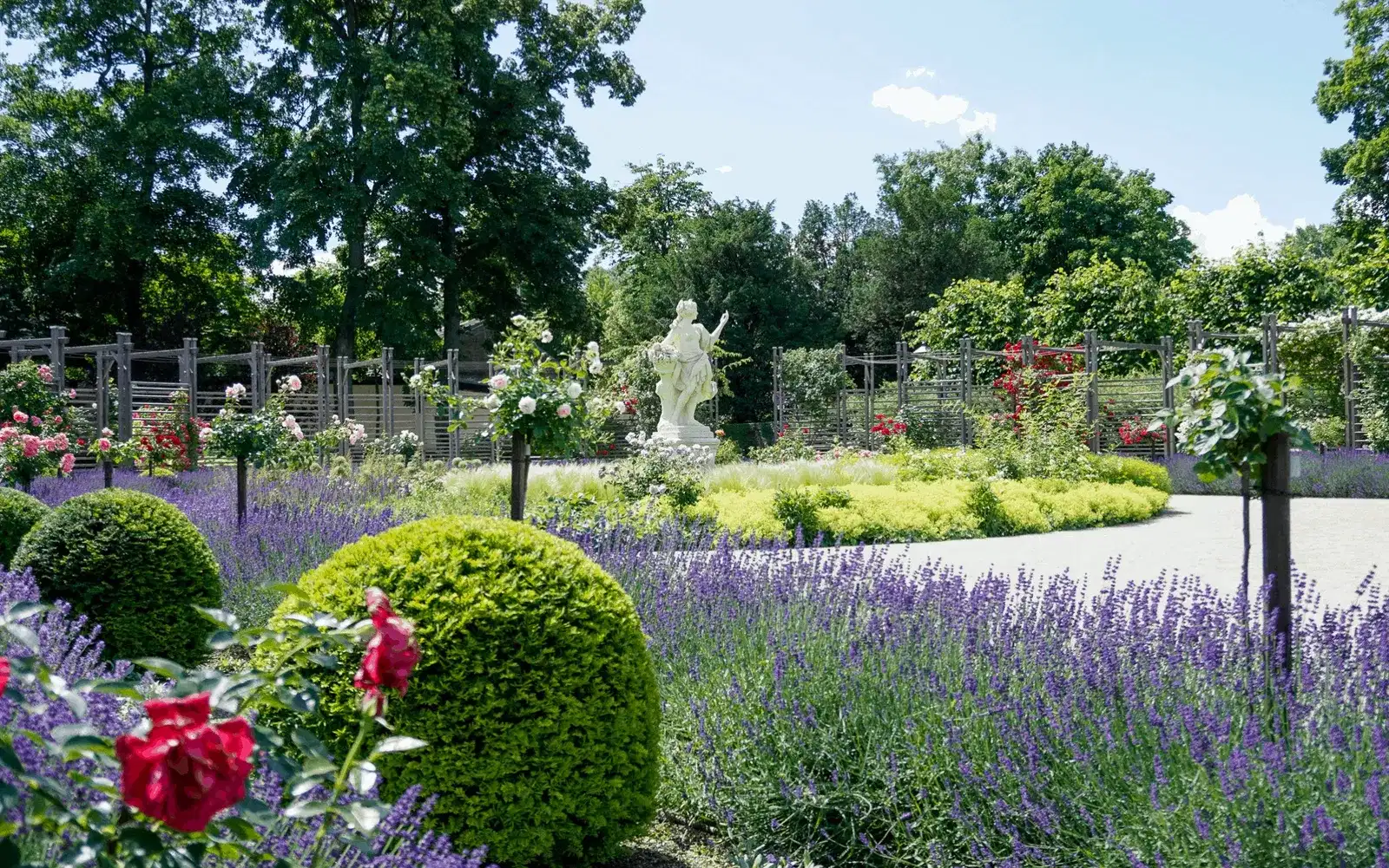
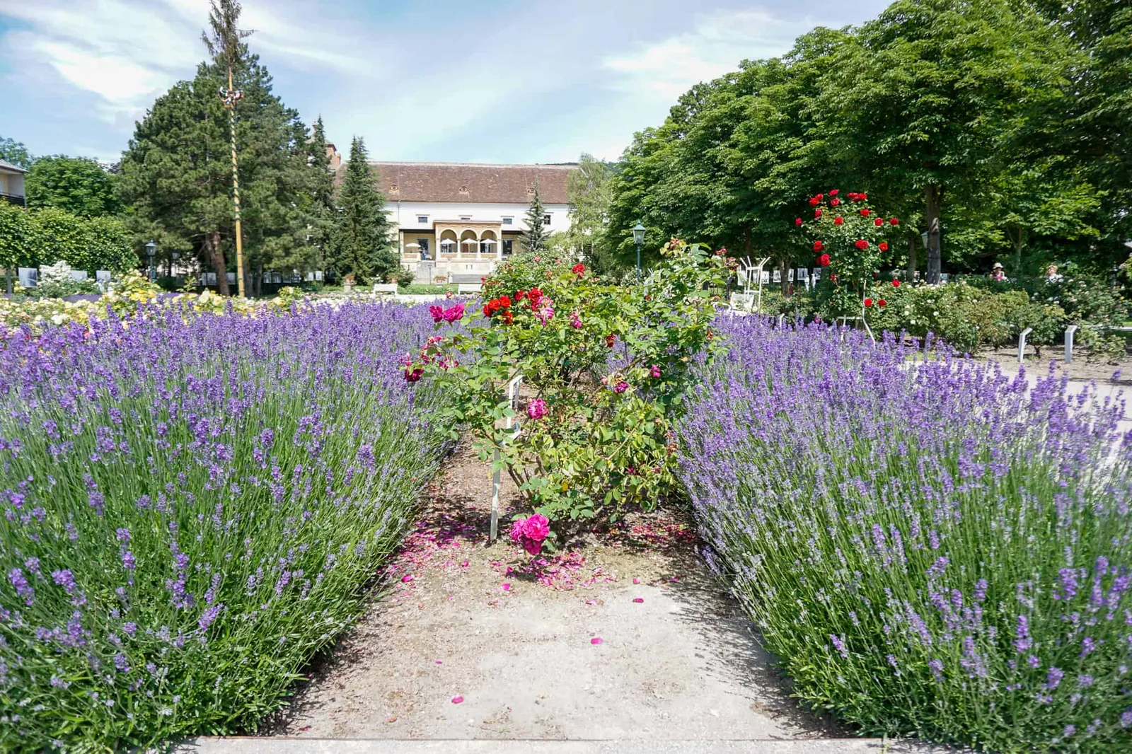
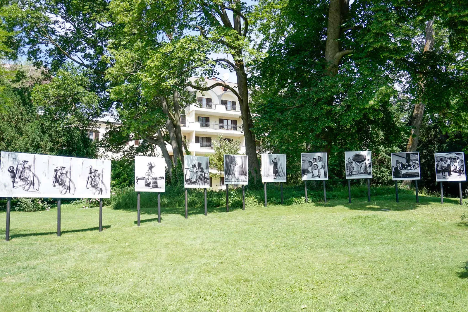
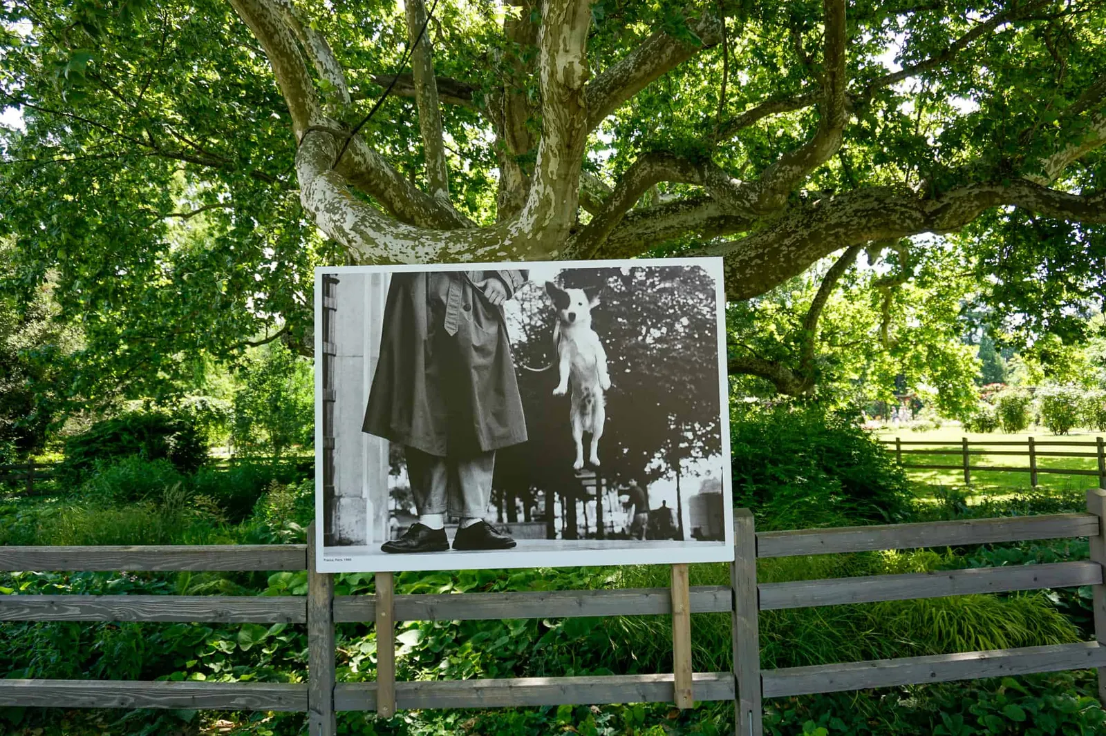
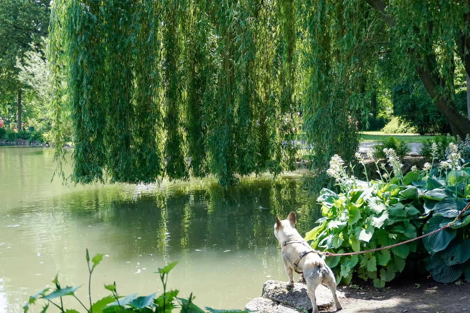
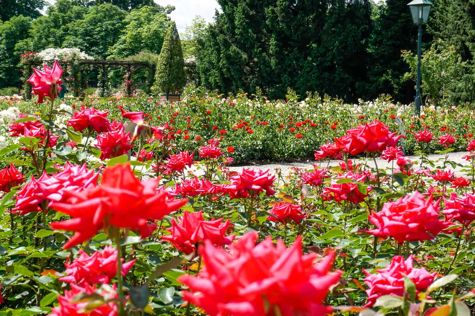
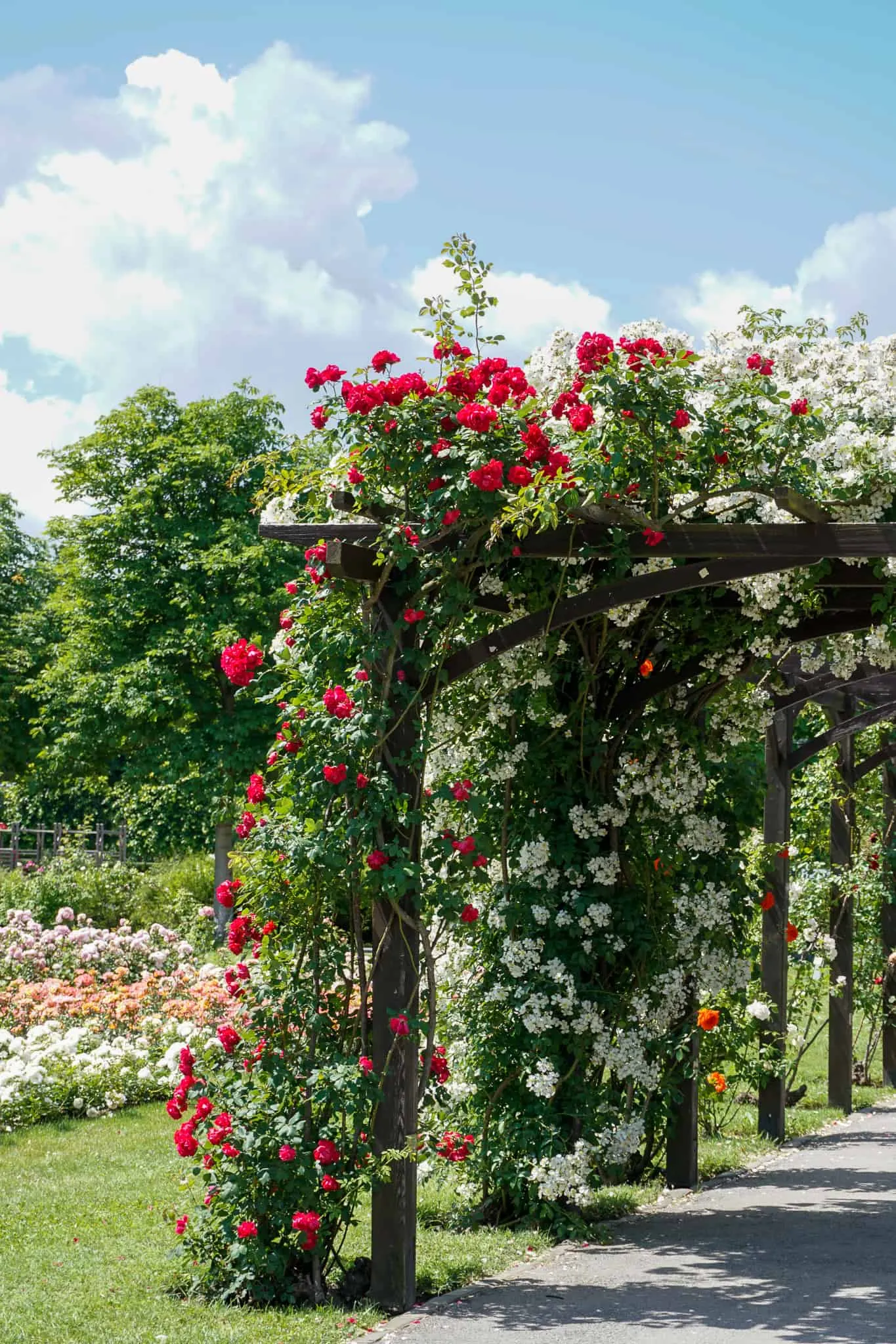
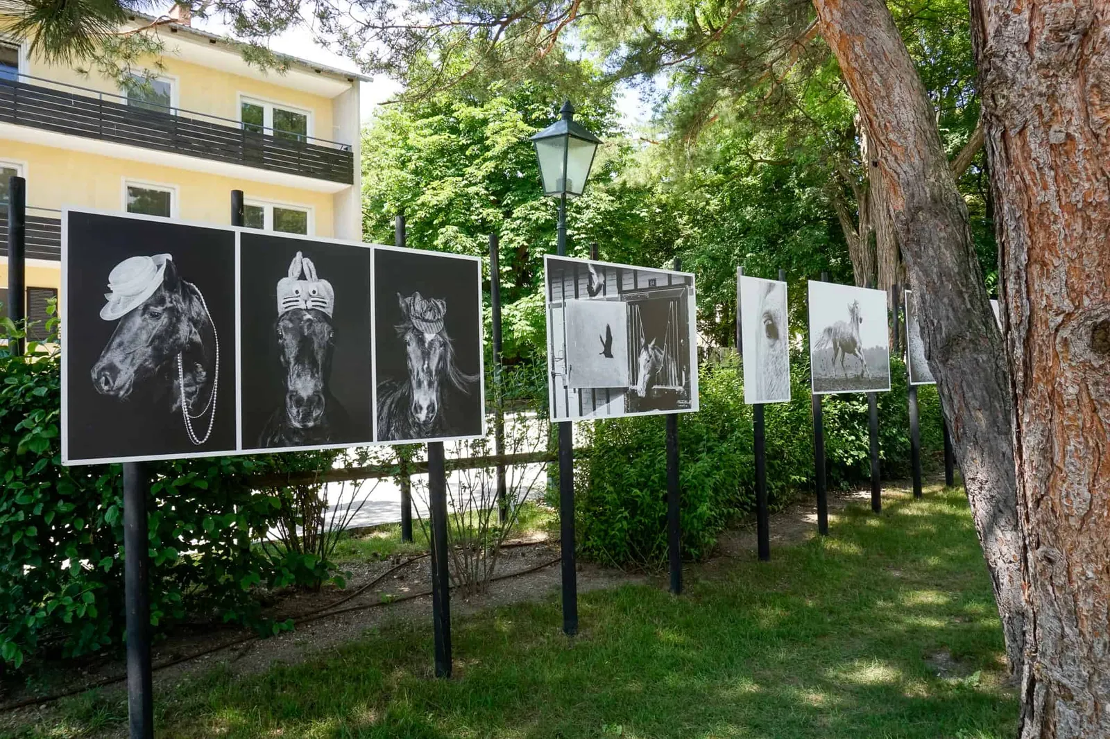
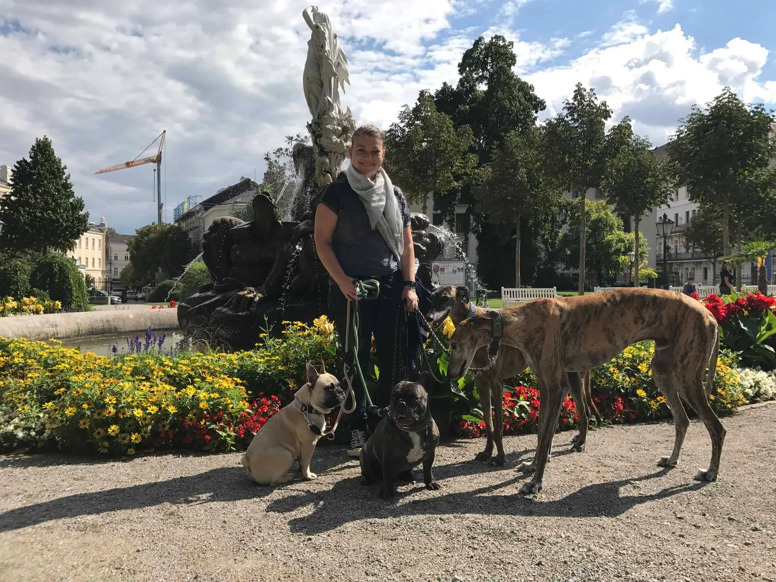
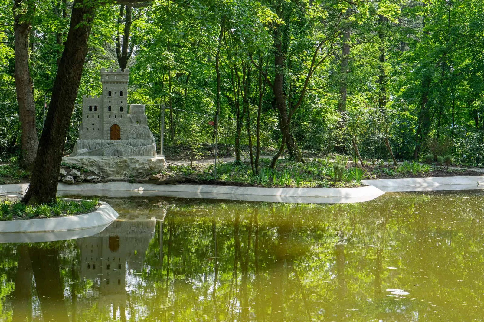
Whether you head from the Hauptplatz — with its plague column — towards the Theaterplatz and the Casino near the Kurpark, or from the Josefsplatz through the Doblhoffpark to the Römertherme, there is always something to discover. History (Beethoven was a frequent guest, for instance), nature (the rose garden in the Doblhoffpark, the ever-immaculate Kurpark) and culture (the Festival La Gacilly Photo runs from 1 June to 30 September) — every taste is catered for and a visit is always worthwhile.
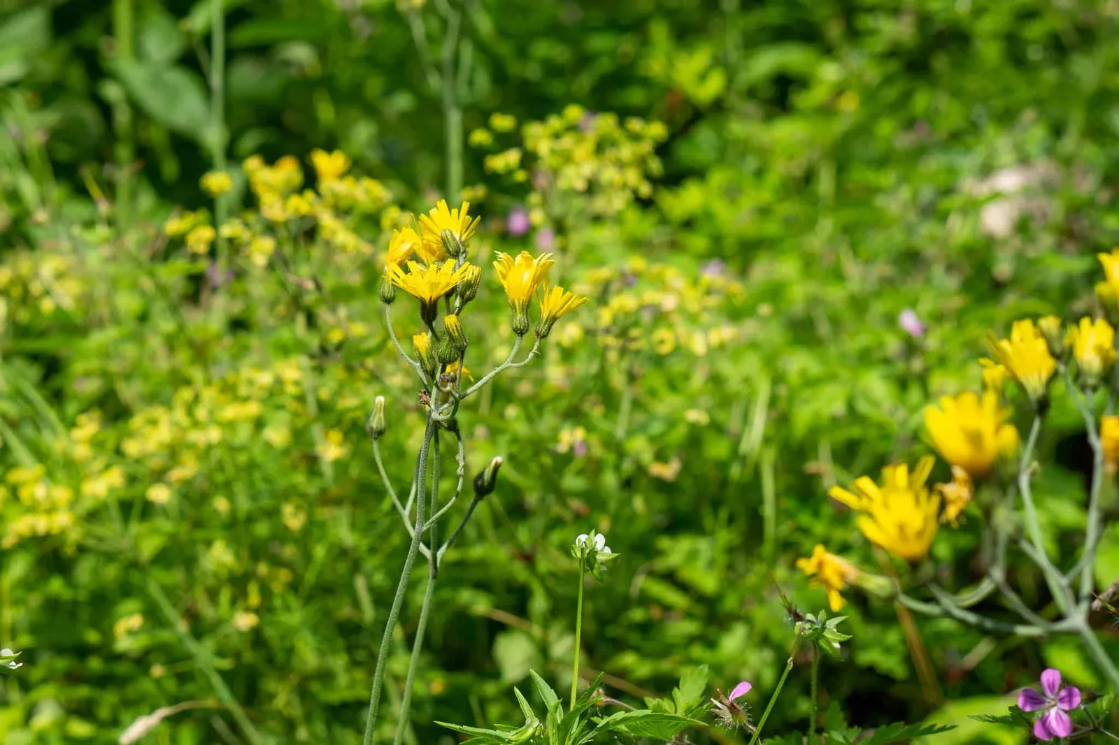
Photos from the Rose Days in the Doblhoffpark + Festival La Gacilly Photo 2018

All of that is already reason enough to come to Baden, but today I want to draw your attention to the surrounding area, where the Wienerwald reveals itself at its most beautiful.
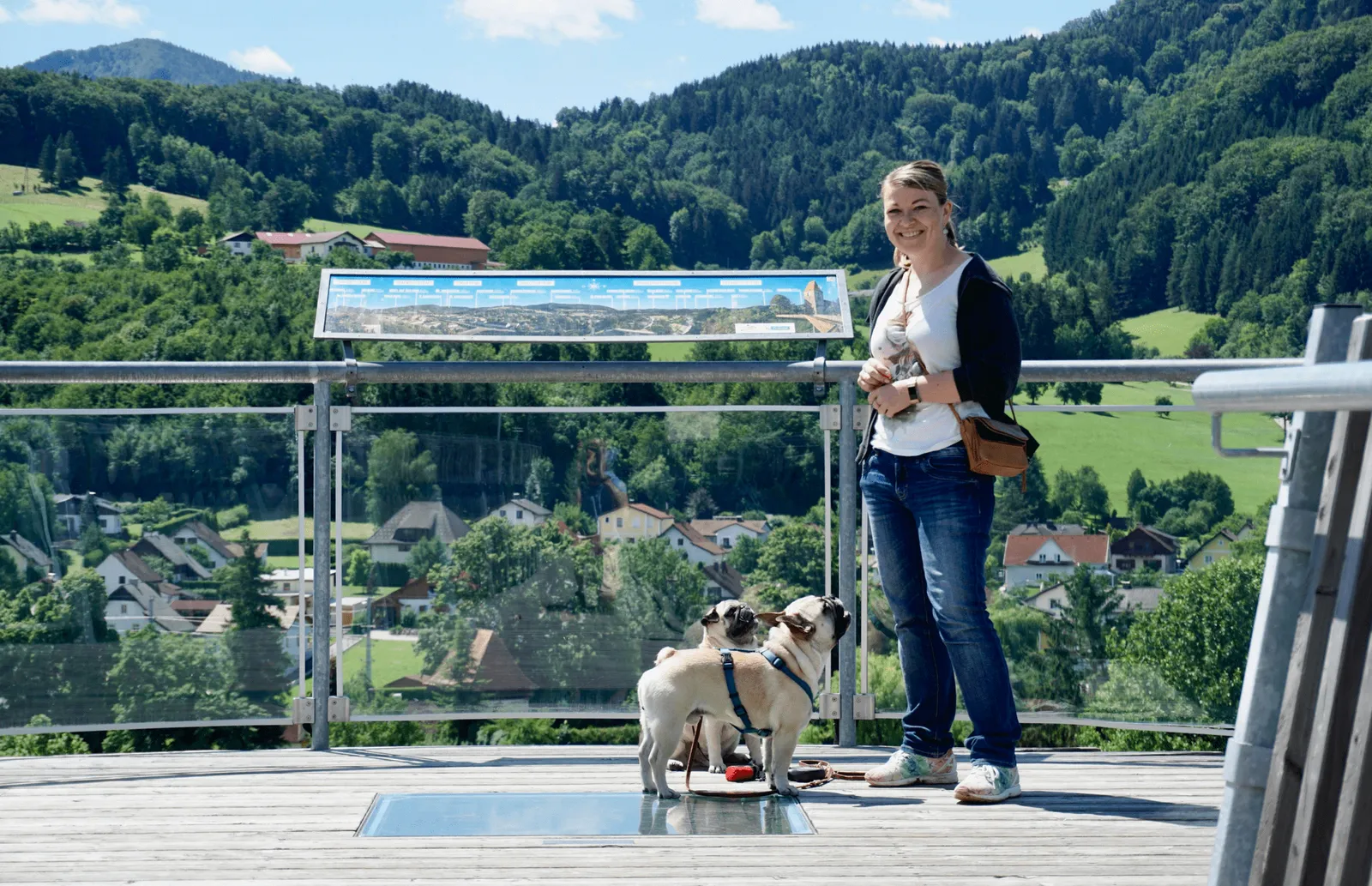
Hiking Route 1: Kurpark – Kaiser Franz Josef Museum and back
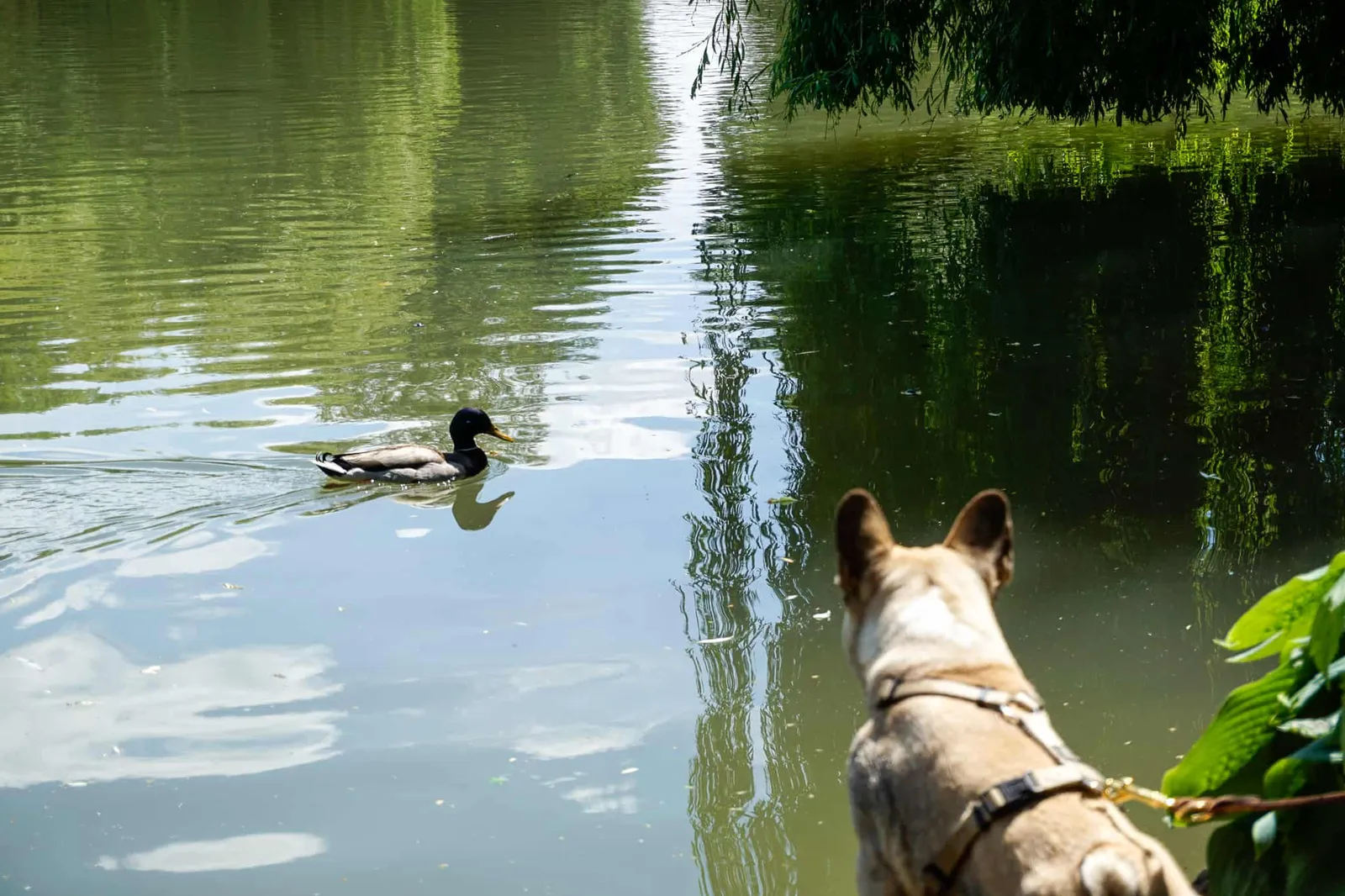
Let's stay close to town! If you're not looking for total peace and seclusion in the forest, this is the route for you. Starting at the Casino and the Kurpark in front of it, which is lovingly tended year-round. Here you can see why Baden has also served as a summer imperial retreat.
After the steps we turn right and head towards Bellevue Platz to enjoy the view from there. Then we continue steadily uphill, leaving the Kurpark behind as we enter the forest.
Photos from the Kurpark + at Hotel At The Park
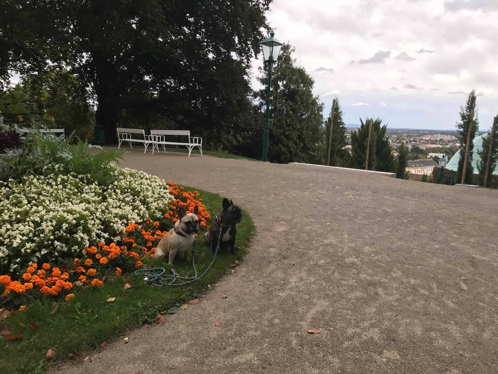
The Kaiser Franz Josef Museum (KFJ Museum for short) with its Café Blickweit is well signposted throughout, so getting lost is hardly possible — and as they say, many paths lead to the goal. Once you've reached the top, you can refresh and refuel with food and drink before heading back down.
If you fancy stopping somewhere after the hike, we can recommend Hotel At The Park, where dogs are very welcome guests — as they are in many other cafés and restaurants in Baden.
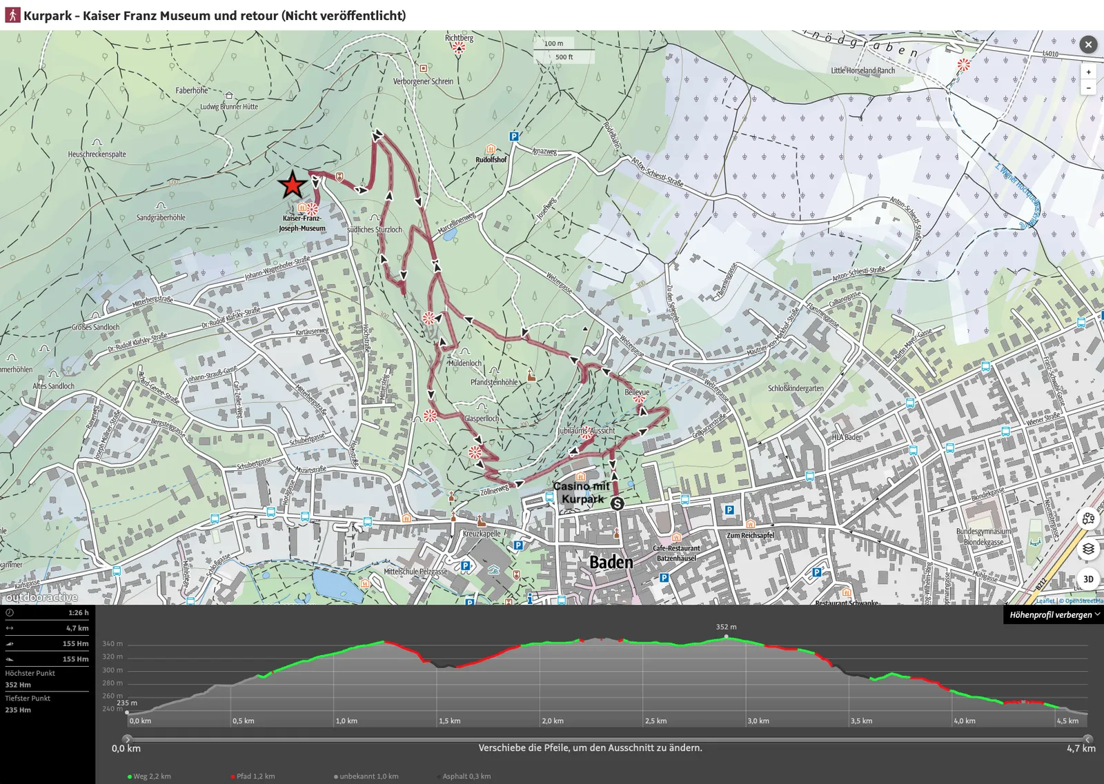
Route Details
- Walking time: approx. 1:30 hours
- Distance: 4.7 km
- Ascent: 155 m
- Descent: 155 m
- Highest point: 352 m
- Lowest point: 235 m
Dog Facts
- Hike mainly on gravel paths, later on forest tracks
- steady climb to the KFJ Museum, gentle steady descent back to the starting point
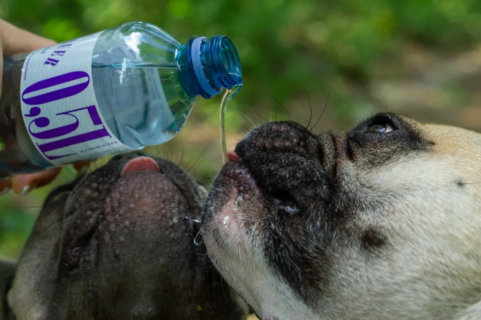
- no stream for cooling off — bring water
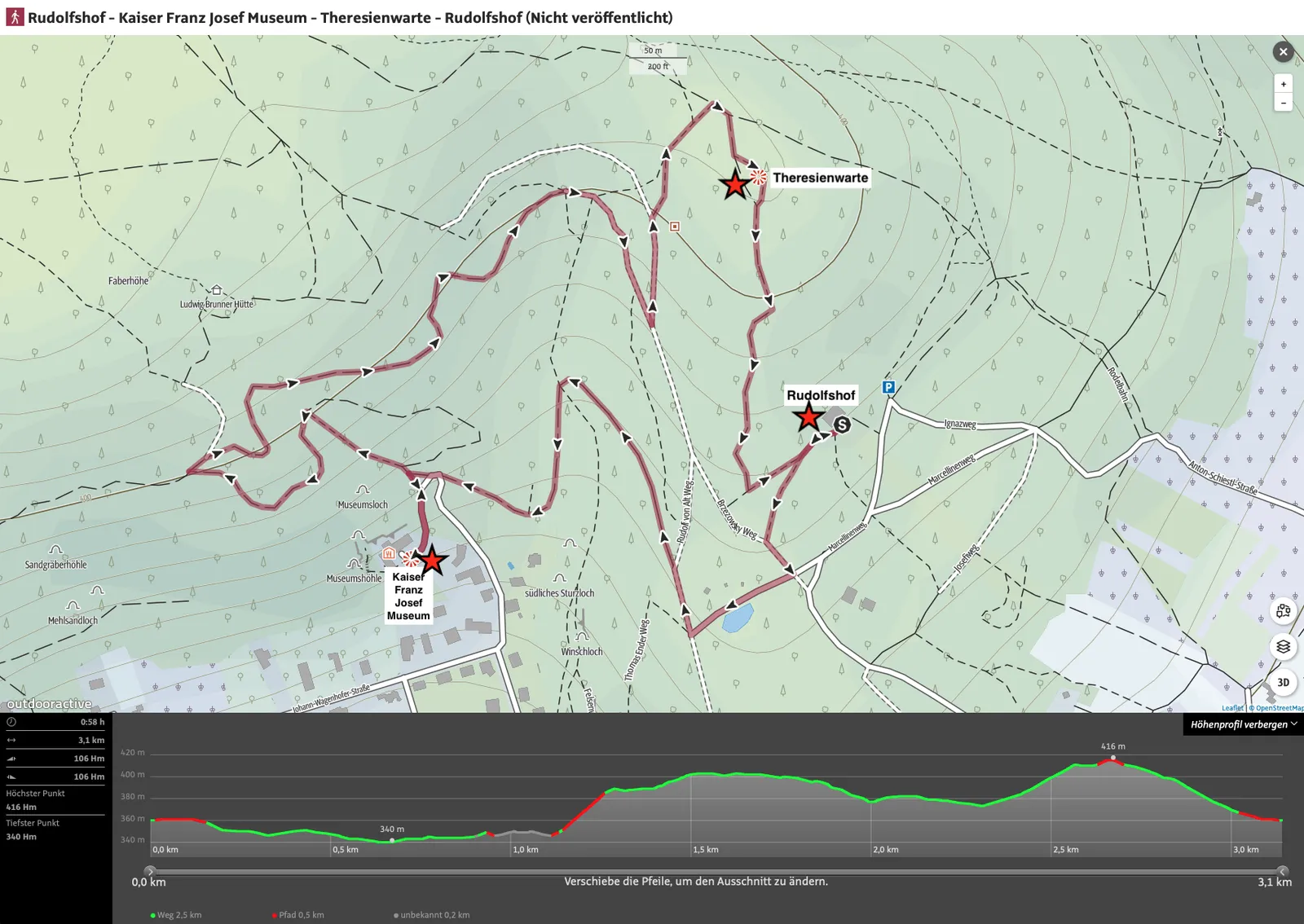
Hiking Route 2: Rudolfshof – Kaiser Franz Josef Museum – Theresienwarte – Rudolfshof
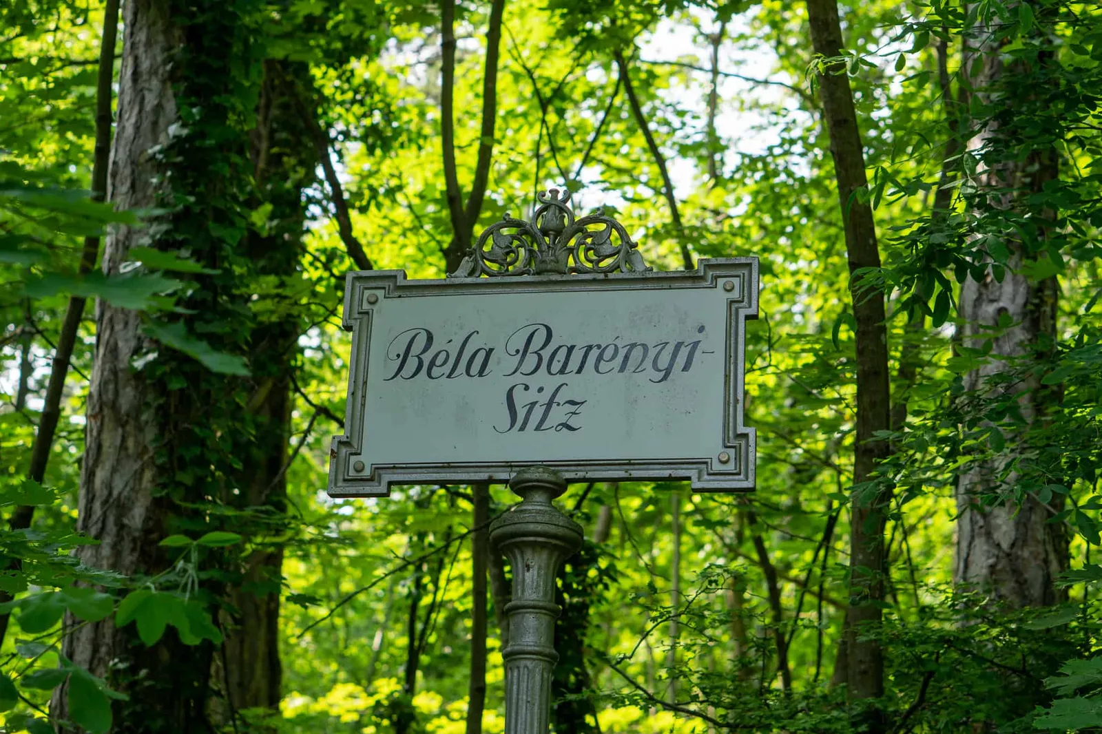
If you want to get away from the centre, you can do a similar tour. The starting point here is the car park at Restaurant Rudolfshof. From there, take the Marcellinenweg to reach the Gamingerweg and make your way to the Kaiser Franz Josef Museum, where you can stop for a break at "Blickweit".
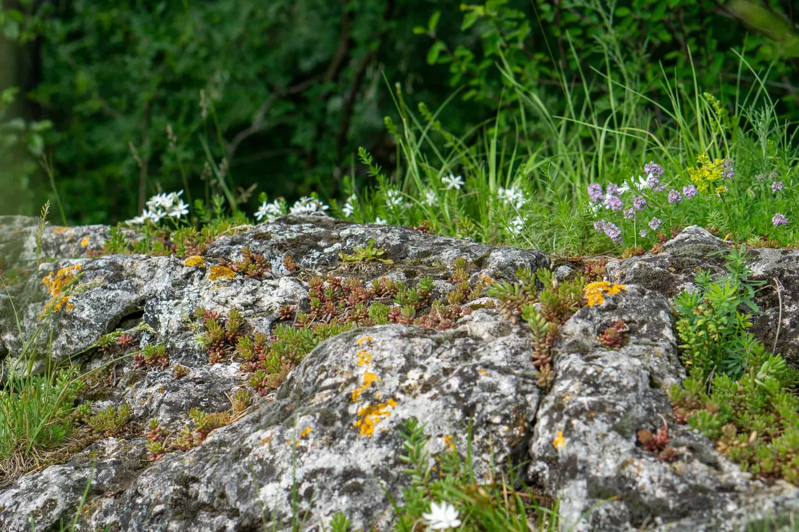
Photos of the area around the Rudolfshof
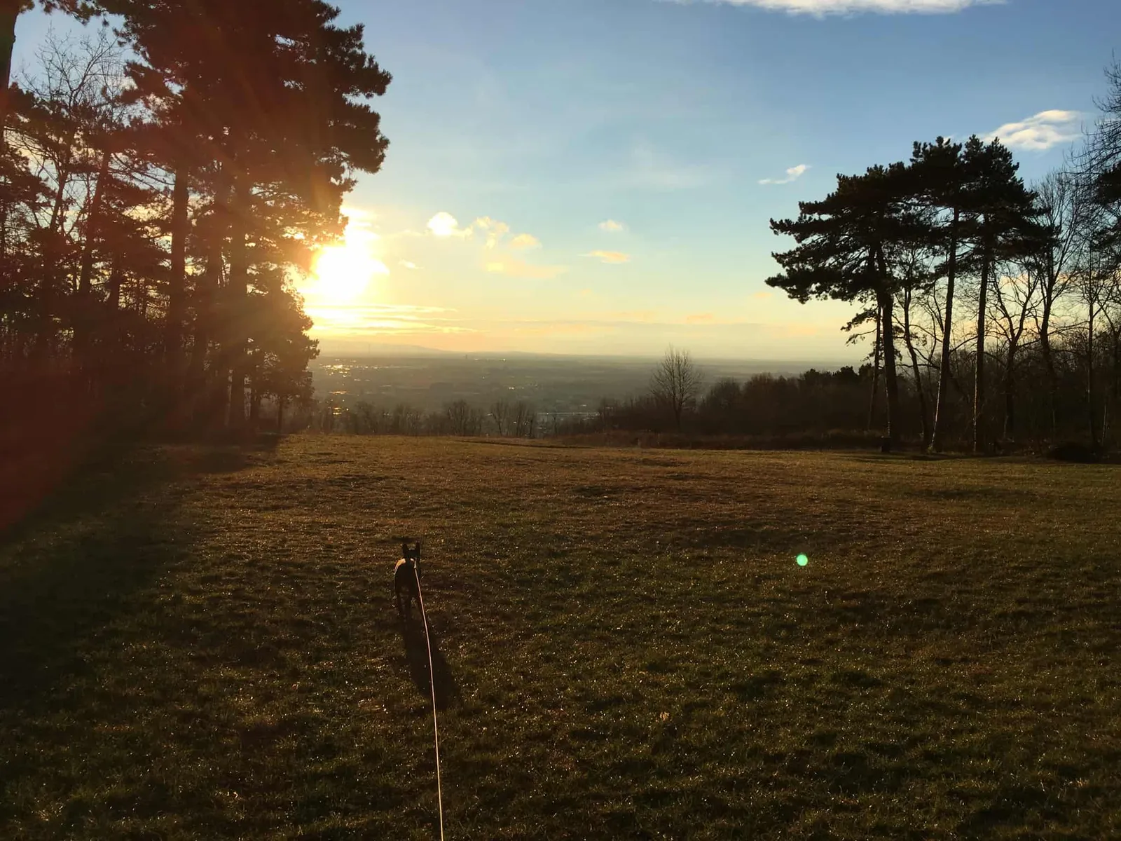
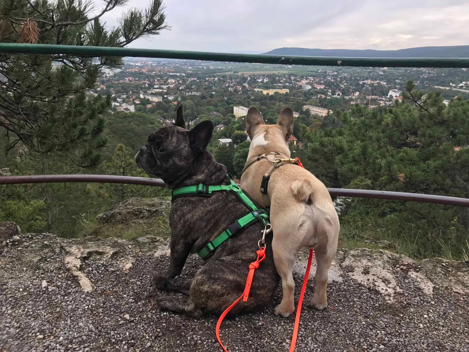
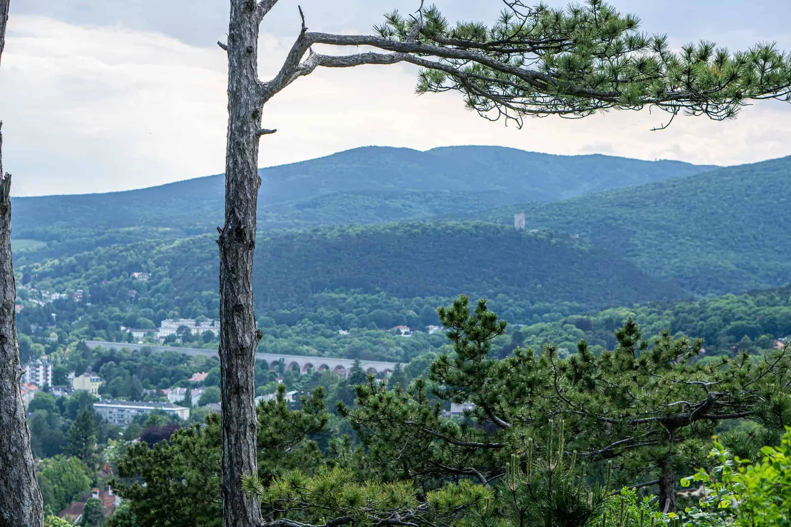
After the break, continue on until you reach the Theresienwarte on the Richtberg. The lookout tower was newly built and inaugurated in March 2016. With a total height of 18.48 m it is a few metres taller than its predecessor and offers a great view over Baden and the southern Vienna Basin.
Anyone wanting to take their dog up should be aware, however, that there are open-grid steps to navigate. From there it's a leisurely downhill walk back towards the Rudolfshof, where you can of course also stop in for something to eat and drink, just as at the KFJ Museum.
Route Details
- Walking time: approx. 1 hour
- Distance: 3.1 km
- Ascent: 106 m
- Descent: 106 m
- Highest point: 416 m
- Lowest point: 340 m
Dog Facts
- hike mainly on forest paths
- alternating flat and steeper sections
- Theresienwarte has metal-grid steps
- no stream for cooling down – bring water
Hiking Route 3: Rudolfshof – Siegenfeld – Rudolfshof
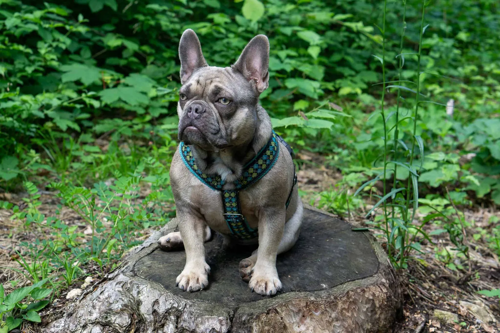
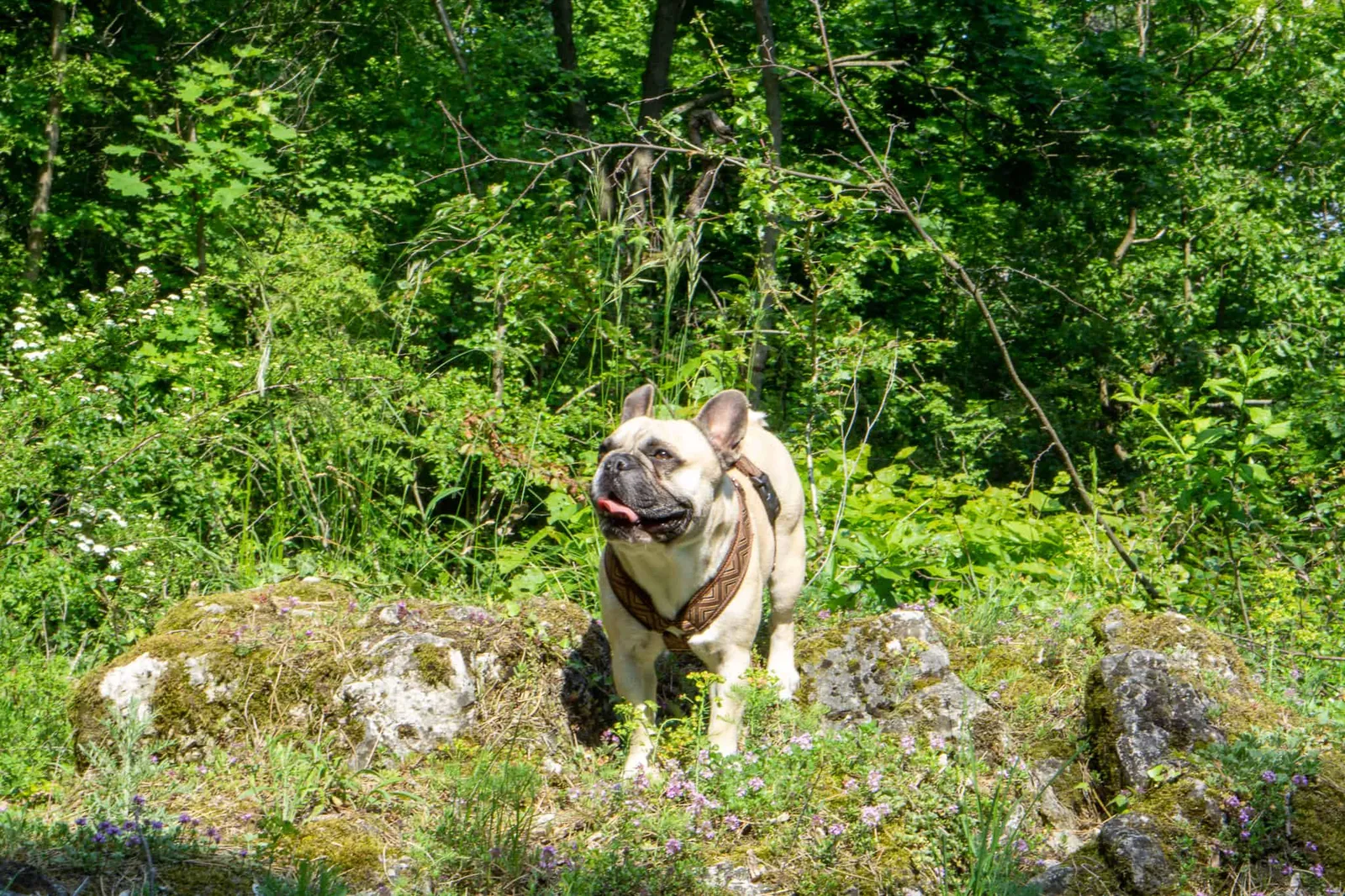
A somewhat longer tour that my partner and I did with Che four years ago runs from Rudolfshof (Baden) to Siegenfeld. The route leads mainly through the forest, except for the last stretch before you arrive at Gasthaus Skilitz.
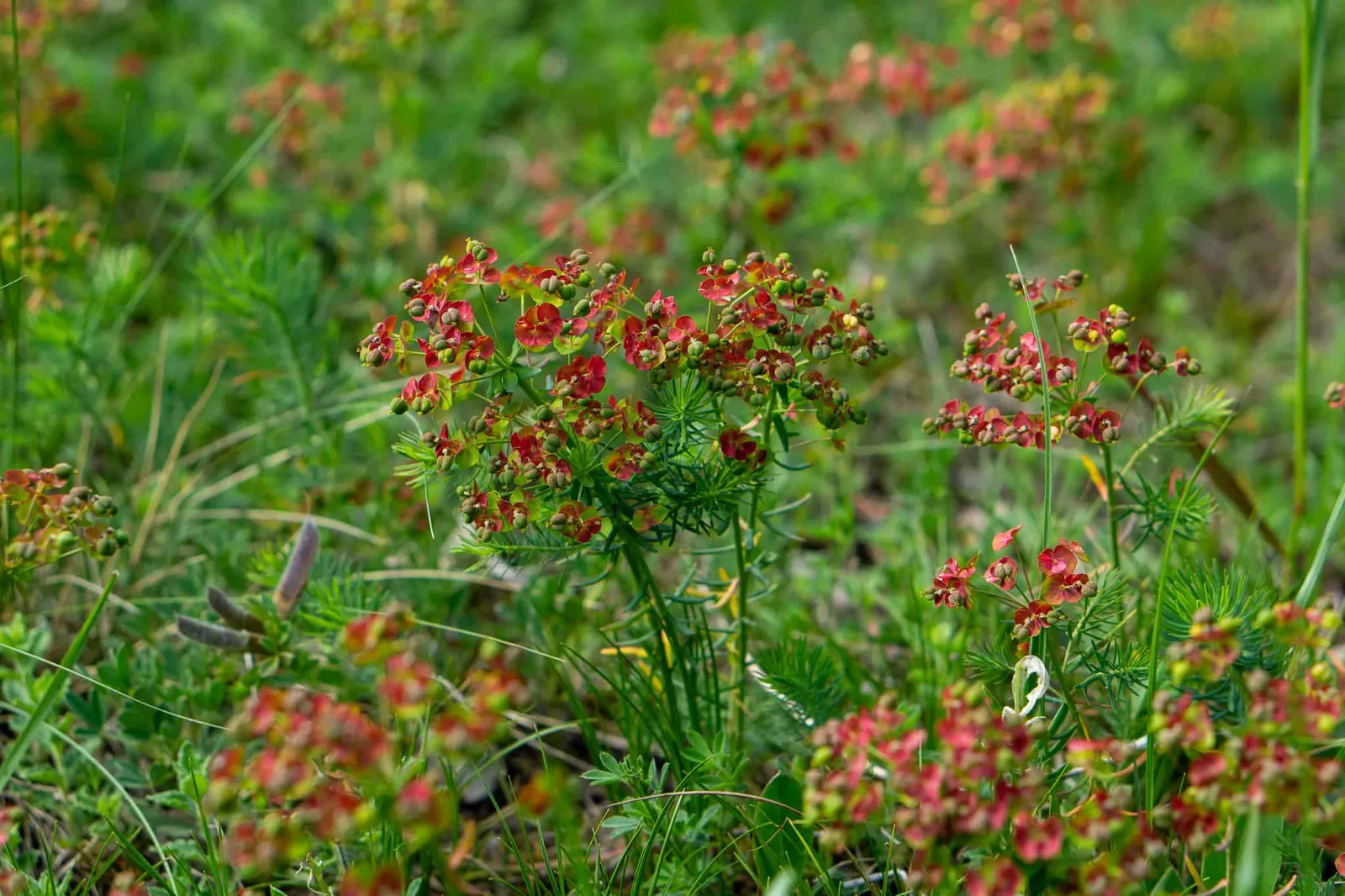
Spring impressions around Rudolfshof
After a delicious bite to eat, we head back to the car park at Rudolfshof along almost the same route. Since you only cross one small stream along the way, you should definitely bring water for the hike.
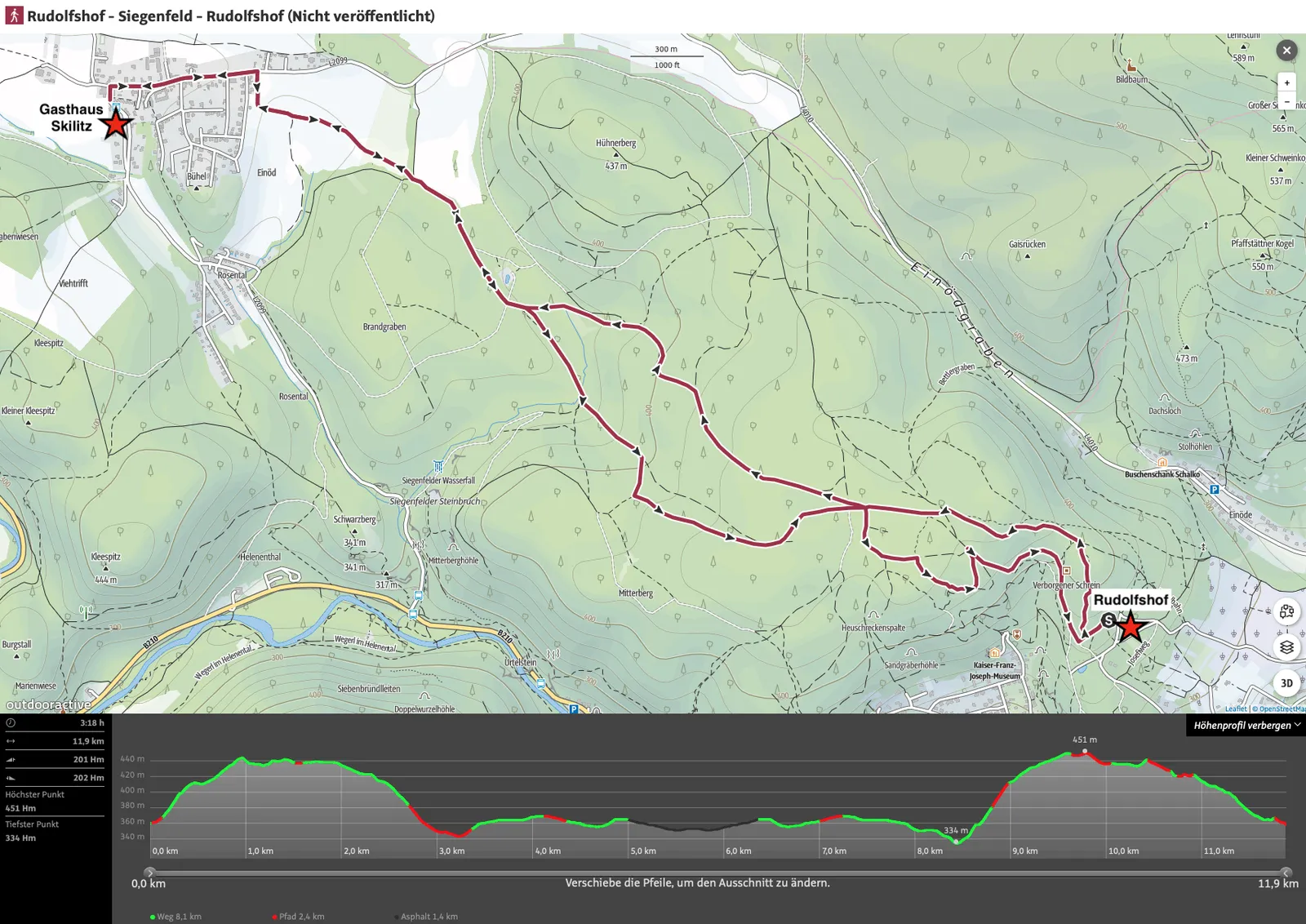
Tour data
- Walking time: approx. 3:20 hours
- Distance: 11.9 km
- Ascent: 201 m
- Descent: 202 m
- Highest point: 451 m
- Lowest point: 334 m
Dog facts
- hike mainly on forest paths
- alternating flat and steeper sections
- a small stream to cool off in is crossed – bring water anyway
Hiking Route 4: Einöde – Rudolf Proksch Hütte and back
The car park in Einöde-Pfaffstätten is the perfect starting point. From there you reach the natural monument "Einödhöhle" in about 15 minutes via the small Kiental valley. This is a sea cave formed during the Middle Ages of the Earth's history, at roughly 370 metres above sea level, with 2 large and 3 small openings to the sky. The cave is freely accessible, though you should respect the bats' hibernation period between late October and early May and avoid disturbing them during that time.
→ I'll definitely do that, since bats are the one animal that genuinely makes me nervous…
We did the full route years ago on New Year's Eve – without a dog, of course. We headed up to the Rudolf Proksch Hütte in the old year (skipping the caves), had dinner and toasted with friends, enjoyed the fireworks at midnight from the Klesheimwarte, and came back down in the new year.
The Rudolf Proksch Hütte was closed for two years due to a full renovation, but since May 2017 it has been open year-round again (closed on Mondays & Tuesdays). The route is very manageable with your four-legged companion and is highly recommended in spring and autumn.
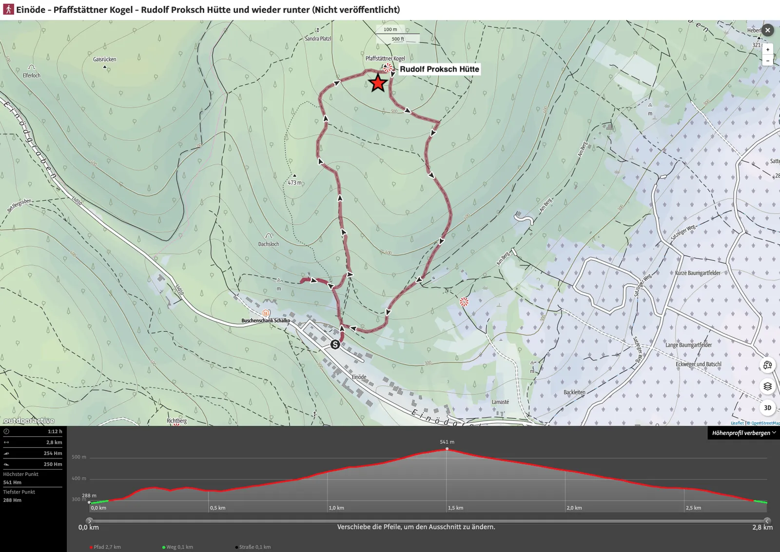
Tour data
- Walking time: approx. 1:15 hours
- Distance: 2.8 km
- Ascent: 254 m
- Descent: 250 m
- Highest point: 541 m
- Lowest point: 288 m
Dog facts
- hike mainly on forest paths
- steady climb to the Rudolf Proksch Hütte, gentle steady descent back to the starting point
- no stream for cooling down – bring water
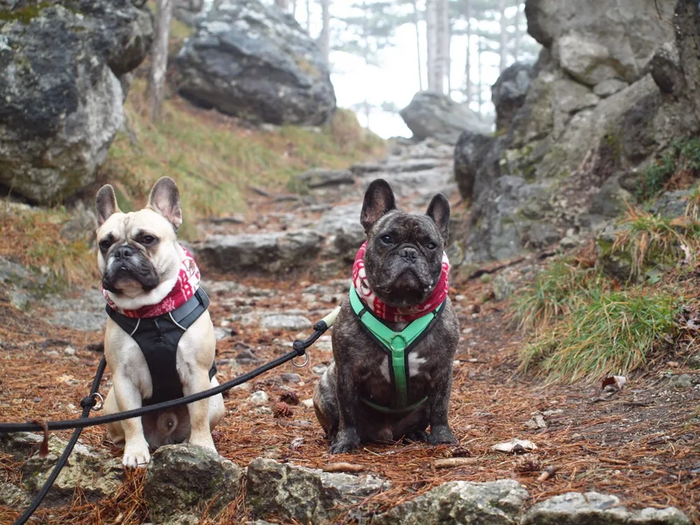
Hiking Route 5: Hotel Sacher – Ruine Rauheneck – Königshöhle – Hauswiese – Hotel Sacher
Leaving Baden in the direction of the Helenental, you'll find the Hotel Sacher on your left and a public car park just behind it. From there, grab your dog, cross the Schwechat via the bridge, and turn left onto the little path through the Helenental.
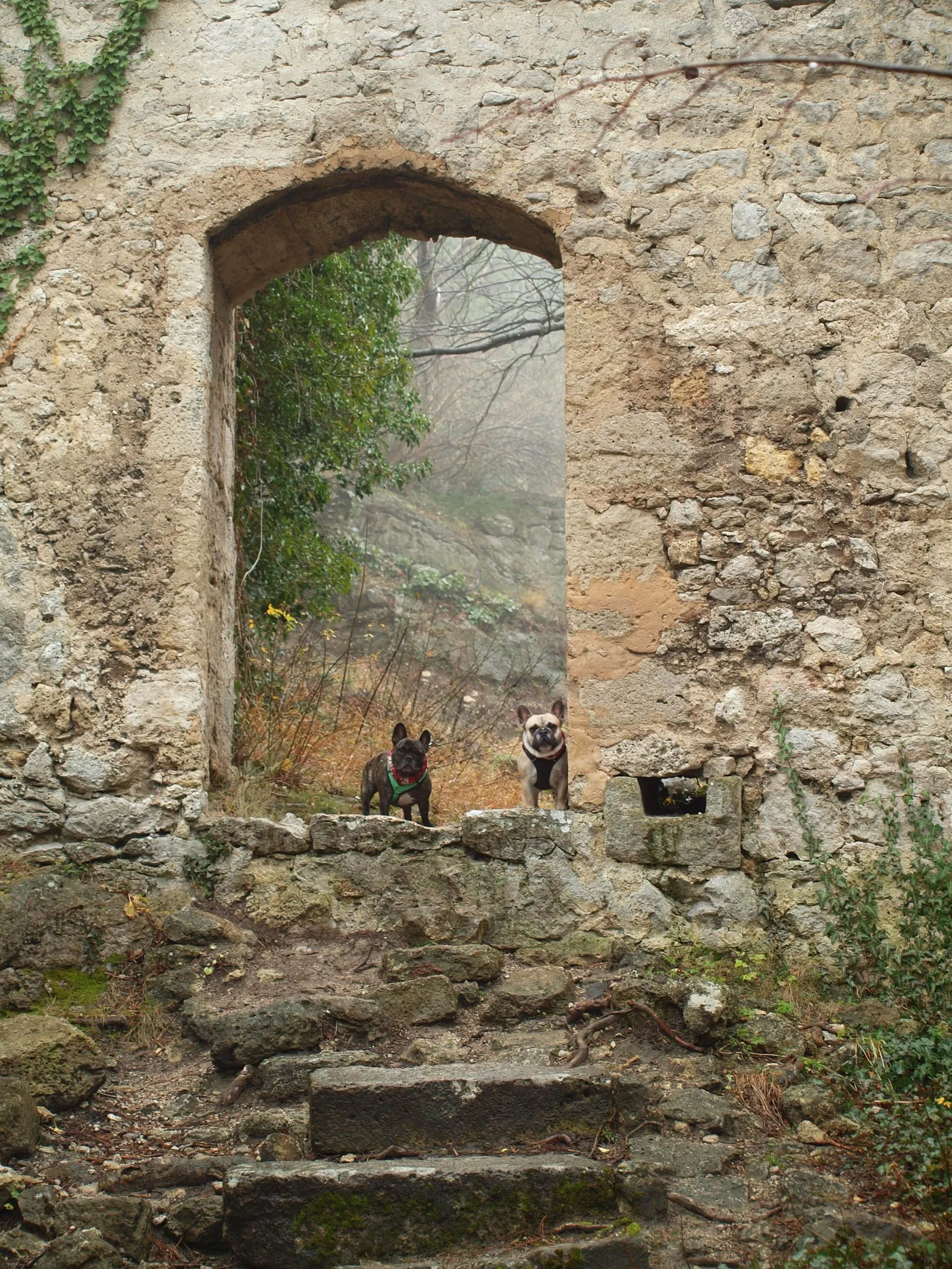
At the Eugenvilla* we leave the path and climb the ascent to the ruins of Rauheneck Castle. The castle was first mentioned in a document around 1130. During the Middle Ages it was destroyed and rebuilt several times, serving to control the trade route through the Helenental. You can see more pictures of the ruins in our story for 4th December.
Photos of Ruine Rauheneck for the story of Saint Barbara
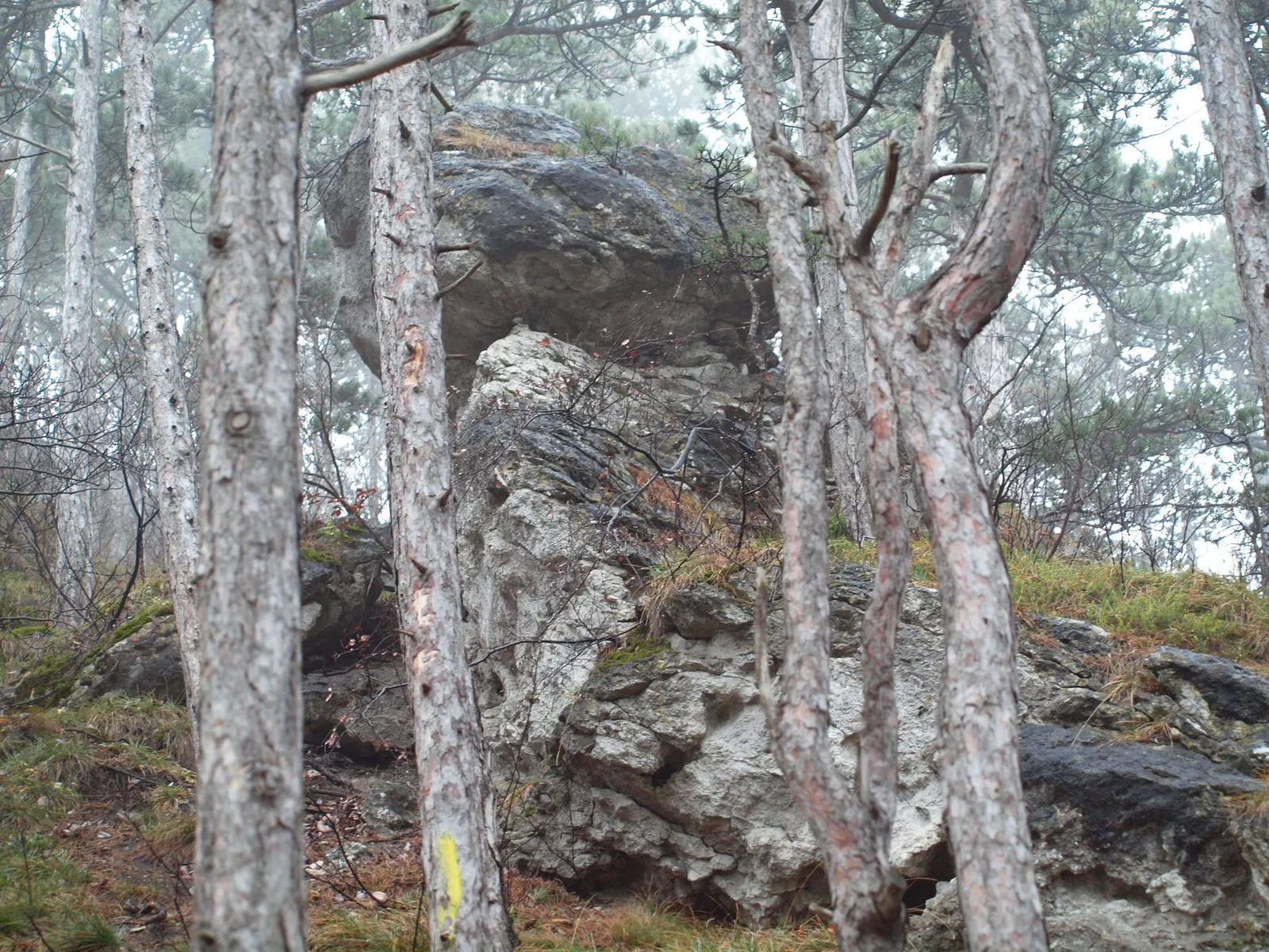
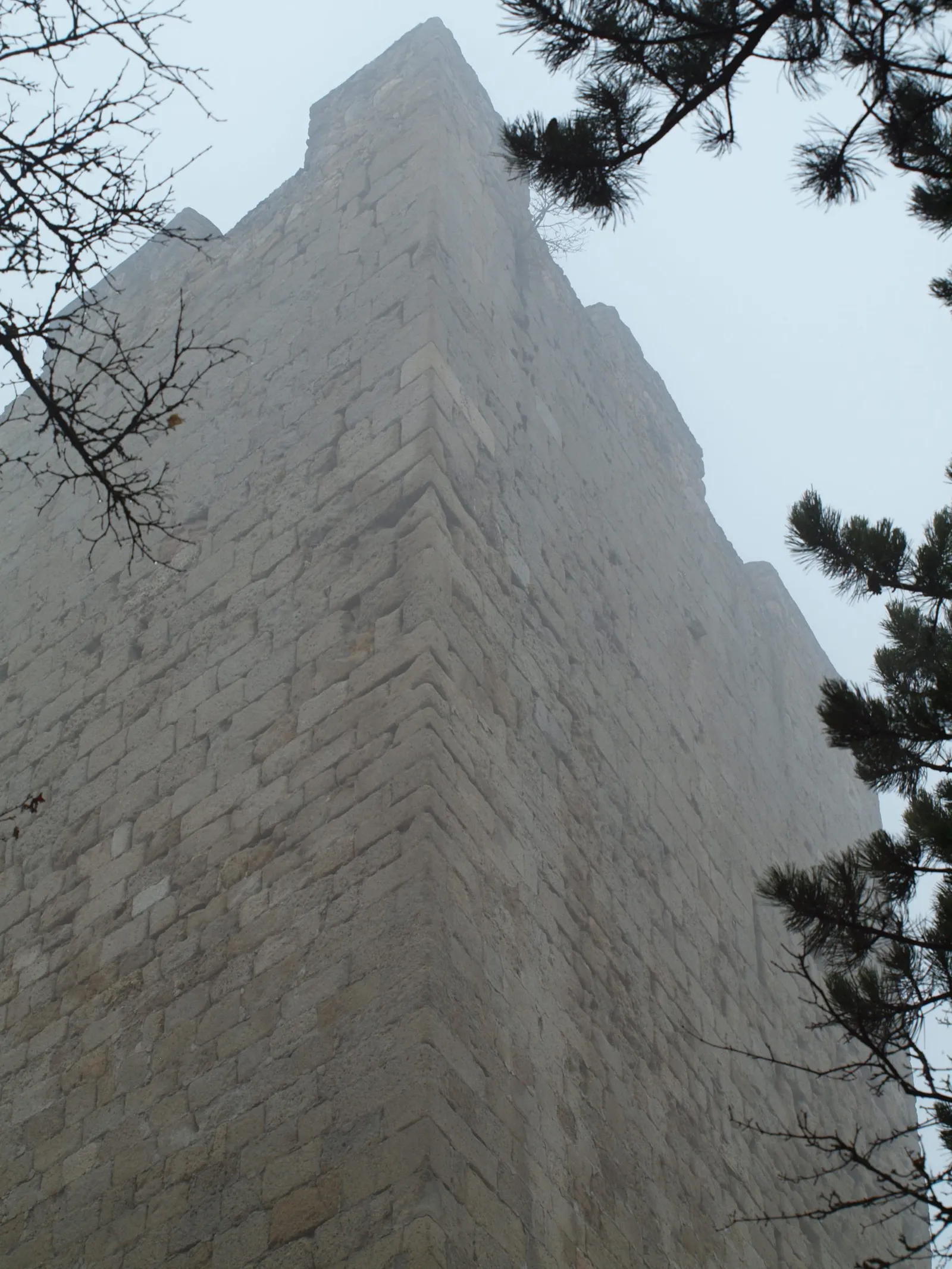
From there the route continues past the Karlshöhle to the 25-metre-deep Königshöhle. This natural monument can be entered through a portal 16 metres wide and 3 metres high. From here the path descends through the forest to 284 m, before climbing back up the north-eastern side of the Badner Lindkogel to 364 m.
On the way down you pass the small Burg Scharfeneck before rejoining the path through the Helenental. A cooling dip in the Schwechat is highly recommended for the dogs here. Hauswiese has unfortunately been closed since late 2017 – a new owner for this cosy inn is still being sought.
*If you continue along the Schwechat past the Eugenvilla, you'll reach the off-lead dog area directly, with easy access to the river there.
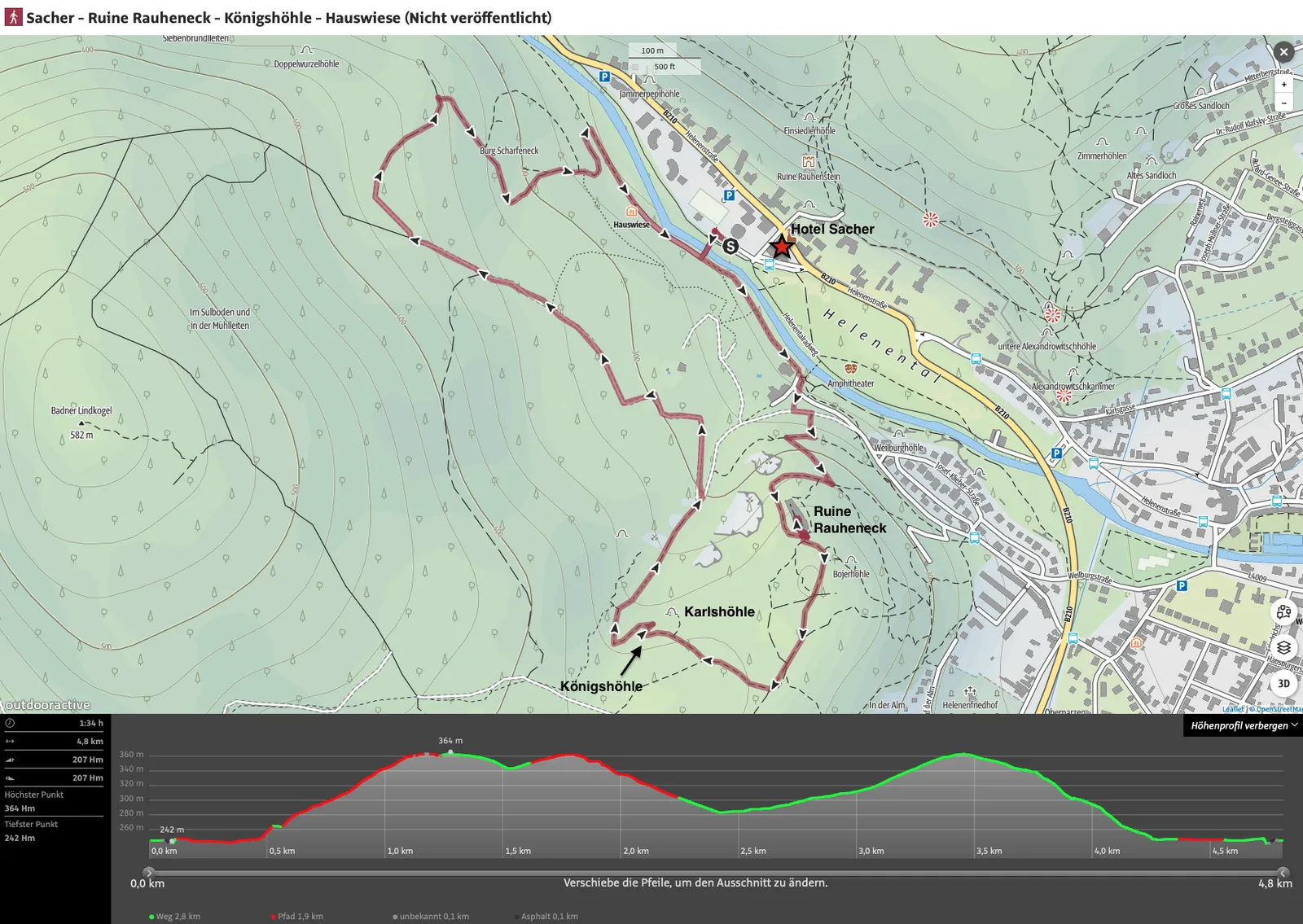
Tour data
- Walking time: approx. 1:35 hours
- Distance: 4.8 km
- Ascent: 207 m
- Descent: 207 m
- Highest point: 364 m
- Lowest point: 242 m
Dog facts
- hike mainly on forest paths
- starts and ends with a flat stretch along the Schwechat, with ascents and descents alternating in between
- cooling off in the Schwechat possible at the beginning and end
Hiking Route 6: Cholerakapelle – Badner Lindkogel – Eugenvilla – Wegerl im Helenental
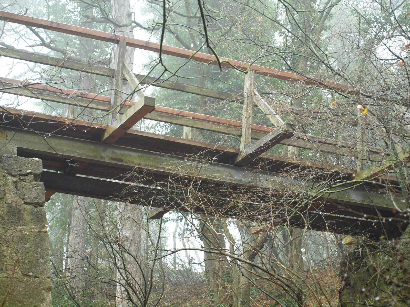
Further out of town you'll find a very large car park opposite the Cholerakapelle. The newly renovated pedestrian bridge leads across the Schwechat. Passing the Antonsgrotte, you head straight into the forest and follow "die Hochwiesen" up to the Hochwiesenberg.
The Badner Lindkogel can be circumnavigated or, of course, climbed. A little way past the Jägerhaus, you turn left to reach the summit at 582 m. The route then continues via Königshöhle, Ruine Rauheneck and the long stretch along the Wegerl im Helenental, with a cool refreshing dip in the Schwechat on the way back to the Cholerakapelle.
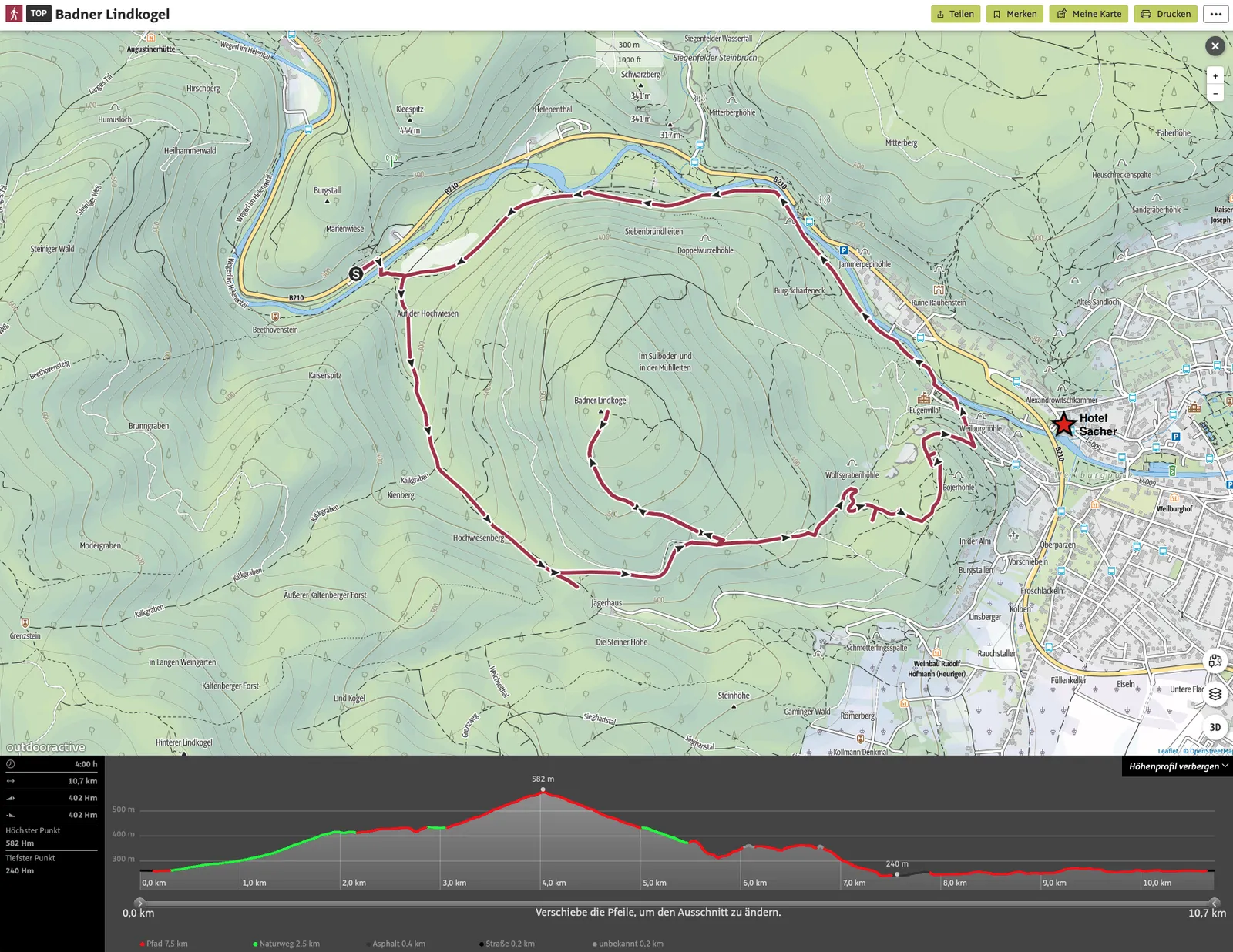
Tour data
- Walking time: approx. 4 hours
- Distance: 10.7 km
- Ascent: 402 m
- Descent: 402 m
- Highest point: 582 m
- Lowest point: 240 m
Dog facts
- Hike mainly on forest trails
- starting with a steady climb to the summit of Badner Lindkogel, followed by the descent until you reach the level of the Schwechat and walk back along the flat path through Helenental to the starting point
- During the 2nd half, access to the Schwechat is possible at various points
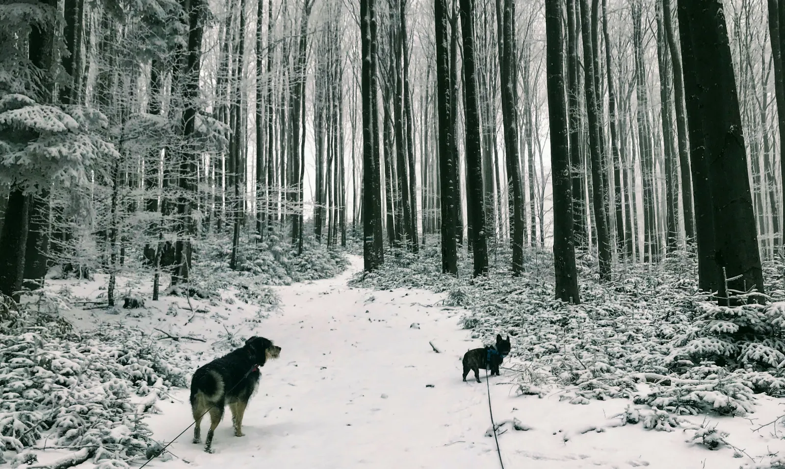
Dog facts that apply to all hikes around Baden
- Hikers with and without dogs almost always present
- Wildlife sightings possible, tracks definitely there